
The depopulated village of Abil al-Qamh / District of Safed

Abil al-Qamh
About the depopulated village of Abil al-Qamh
- District
- Safed
- Date Abil al-Qamh was occupied
- 10 May 1948
- Population in 1948
- 383
- Military operation
- Operation Yiftach
- Brigade that carried it out
- The Palmach's First Battalion – the main force assigned to occupy eastern Galilee under Operation Yiftach
- Distance from the governorate centre
- 32 (km) North East of Safad
- Elevation above sea level
- 350 m
- Cause of displacement
- Fear of a Zionist attack on the village
- Extent of destruction
- The village has been completely destroyed, and only house walls and rubble left behind
- Ethnic cleansing
- As a result of a campaign of psychological warfare on the 10th of May 1948, the village was completely ethnically cleansed.
- Settlements built on the built-up area of Abil al-Qamh after 1948
- Yuval, established in 1952 on village lands
Hover a dot to read the village name, or click to open its card.
Borders of the depopulated village of Abil al-Qamh
Abil al-Qamh was a Palestinian village in the Safad Subdistrict. On the eve of the Nakba, its population was estimated at approximately 380. The village was depopulated in 1948, and most of its built environment was subsequently destroyed.
- Subdistrict
- Safed
- Distance from district center
- 32 km North East of Safad
- Average Elevation
- 350 m above sea level
- Population in 1931
- 229
- Number of Houses in 1931
- 58
- Population in 1944/1945
- 330
- Estimated Population in 1948
- About 383 – a later demographic estimate, not an official census
- Total Land Area in 1945
- 4,615 dunams
- Attack and Depopulation
- The available sources document no direct attack on the village; it was emptied of its inhabitants on 10 May 1948 during Operation Yiftach, according to an Israeli intelligence report issued in late June 1948.
- Final Israeli Control
- May 1948, during Operation Yiftach; the available sources give no date for the entry of Zionist forces into the village other than the date it was emptied, 10 May 1948.
- Military Operation
- Operation Yiftach
- Military Unit
- The Palmach's First Battalion – the main force assigned to occupy eastern Galilee under Operation Yiftach
- Cause of Depopulation
- Fear of a Zionist attack on the village
- Settlements Documented on Village Lands
- Yuval, established in 1952 on village lands
- The village stood in a hilly area north of the Hula Plain, approximately one kilometre from the Lebanese border. It remained administratively part of Lebanon until the boundary settlement of 1923, when it was incorporated into British Mandatory Palestine.
- Abil al-Qamh was situated near a stream and surrounded by cultivated land. A church stood within the village.
- Its population included both Muslims and Christians. Agriculture formed the foundation of the local economy, and the fertile wheat fields surrounding the village benefited from abundant water resources.
Architecture and Built Environment
The village had a broadly triangular layout, with its narrow end pointing south. Its built-up area expanded southward along the hill on which it stood. In the late nineteenth century, Abil al-Qamh contained approximately 45 dwellings. By 1931, the number had risen to 58. These houses were constructed from stone and cement, stone and mud, or reinforced concrete. In 1945, the village's built-up area covered 13 dunams, while the number of houses was recorded as 97 by 1948.
Population of Abil al-Qamh
- According to the 1931 Census of Palestine, Abil al-Qamh had 229 inhabitants: 122 Muslims and 107 Christians living in 58 houses.
- Official 1945 village statistics recorded a population of 330—230 Muslims, predominantly Shi'a, and 100 Arab Christians—and a total land area of 4,615 dunams.
Economic Life in Abil al-Qamh
The village had no formal public services. Its economy depended primarily on agriculture and livestock raising, with cereal cultivation forming the principal agricultural activity. Fruit-tree cultivation was limited: during the 1942–1943 season, only six dunams were planted with olive trees. In 1944–1945, 2,537 dunams of Palestinian-owned land were allocated to cereal production.
Land Ownership in Abil al-Qamh
- Palestinian ownership3,116 dunums68%
- Jewish ownership1,327 dunums29%
- Public land172 dunums4%
Land Use in Abil al-Qamh
- Palestinian-owned land (dunams)
- Jewish-owned land (dunams)
- Irrigated land and orchards302 dunums
- Olive groves6 dunums
- Cereal cultivation3,857 dunums
- Built-up area13 dunums
- Total cultivable land4,159 dunums
- Uncultivated land443 dunums
* One dunam equals approximately 1,000 square metres.
Population Figures for Abil al-Qamh
- 1596143
- 1931229
- 1945330
- 1948383
- Estimated number of refugees in 19982,351
Houses in Abil al-Qamh
- 193158
- 194897
Archaeological Heritage
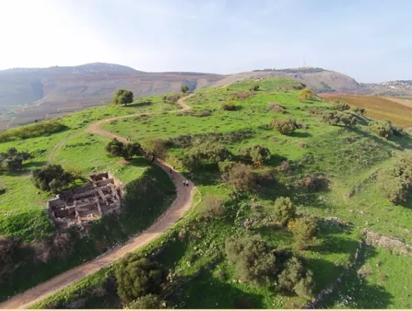
Abil al-Qamh occupied an archaeologically significant site associated with Tell Abil el-Qameh, also known as Tel Abel Beth Maacah. Archaeological remains recorded in and around the area include a settlement mound, rock-cut tombs, flint tools, pottery, wall foundations, scattered building stones, and stone cairns between Abil al-Qamh and Tell al-Qadi.
Two additional archaeological localities lay near the village. Khirbat Niha, southwest of Abil al-Qamh, contained wall foundations, scattered stones, and pottery fragments. The name Niha is of Syriac origin and is generally associated with the meanings “calm,” “rest,” or “repose”; several places in Lebanon and Syria bear the same name. Tell al-Qita'at al-Sitt, south of the village, contained the remains of enclosures.
The Occupation and Depopulation of Abil al-Qamh
Operation Yiftach was launched by Palmach forces between mid-April and late May 1948 with the objective of securing eastern Galilee before the end of the British Mandate. Abil al-Qamh was occupied and depopulated on 10 May 1948 as the operation advanced through the Safad region. The wider campaign resulted in the depopulation of Palestinian communities across eastern Galilee, and many villages were subsequently destroyed.
Occupation and Depopulation Chronology
- 15 April 1948
Beginning of the military operation
The Palmach launched Operation Yiftach to take control of eastern Galilee before the end of the British Mandate on 15 May 1948; the Palmach's First Battalion spearheaded the operation.
- 10 May 1948
Depopulation of the village
The village was emptied of its inhabitants on this date, according to an Israeli intelligence report issued in late June 1948. The available sources give no separate date for the entry of Zionist forces into the village.
- 1952
Settlement on village lands
Israel established the settlement of Yuval on the lands of Abil al-Qamh, about 1.5 kilometres from the village site.
Israeli Settlement on the Lands of Abil al-Qamh
The Israeli settlement of Yuval was established in 1952 on land belonging to Abil al-Qamh, approximately 1.5 kilometres from the former village site.
Abil al-Qamh Today
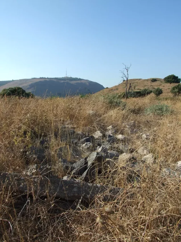
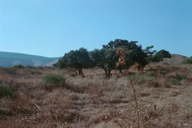
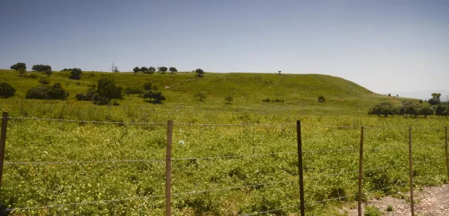
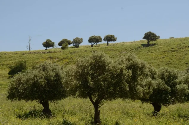
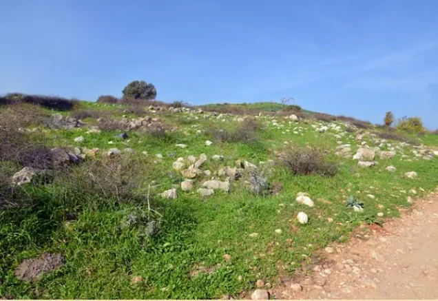
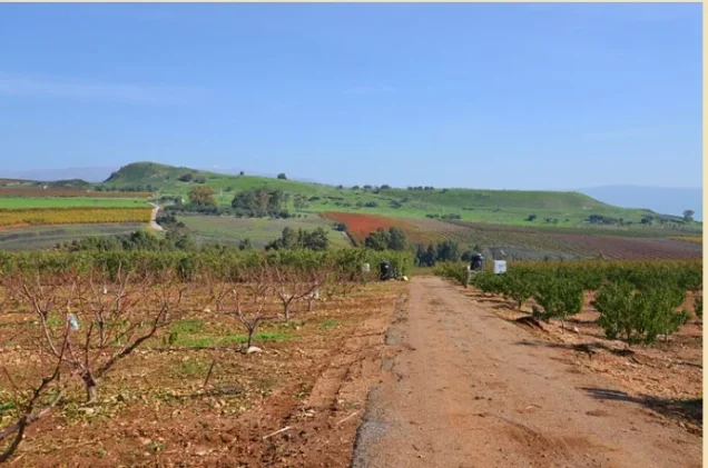
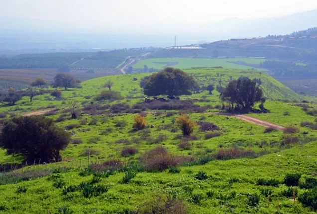
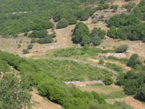
Grass and wild vegetation now cover much of the village site. A grove of trees stands in its northeastern corner, while stones from the destroyed houses remain scattered across the area. The surrounding land is used primarily as pasture for livestock.
Photo gallery



Photos from the village's people
Photos sent in by visitors and published after review.
Add a photo of this village
Log in to add photos of this village.
Other villages from Safed

More from the archive



 Download Our Palestine App
The whole archive in the palm of your hand: depopulated villages, the Nakba, the massacres and Al-Aqsa — free, with no ads to erase the story.
Download Our Palestine App
The whole archive in the palm of your hand: depopulated villages, the Nakba, the massacres and Al-Aqsa — free, with no ads to erase the story.




Comments
No comments yet — be the first to write one.
Add your comment
Name and email are optional. Comments appear after review.