
The depopulated village of 'Arab al-Shamalina / District of Safed
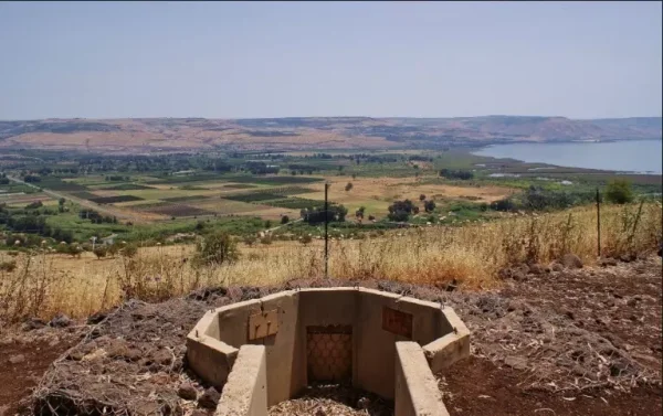
District of Safed
'Arab al-Shamalina
About the depopulated village of 'Arab al-Shamalina
- District
- Safed
- Date 'Arab al-Shamalina was occupied
- 04 May 1948
- Population in 1948
- 650
- Military operation
- Operation Matate ( Broom )
- Distance from the governorate centre
- 13 (km) South East of Safad
- Elevation above sea level
- -200 m
- Cause of displacement
- Expulsion by Zionist troops
- Extent of destruction
- Based on orders of Yigal Allon, the village was completely destroyed soon after occupation.
- Ethnic cleansing
- 'Arab al-Shamalina inhabitants were completely ethnically cleansed.
- Settlements built on the built-up area of 'Arab al-Shamalina after 1948
- Almagor, Karkom
Hover a dot to read the village name, or click to open its card.
District: Safed
Population 1948: 750
Occupation date: 04/05/1948
Jewish settlements on village/town land before 1948: None
Jewish settlements on village/town land after 1948: Almagor, Karkom
Photo gallery


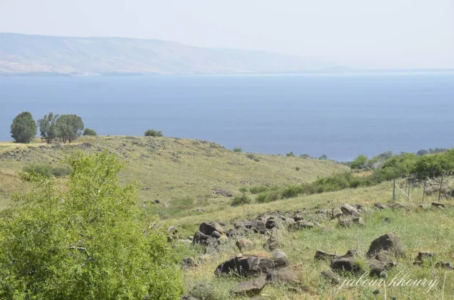


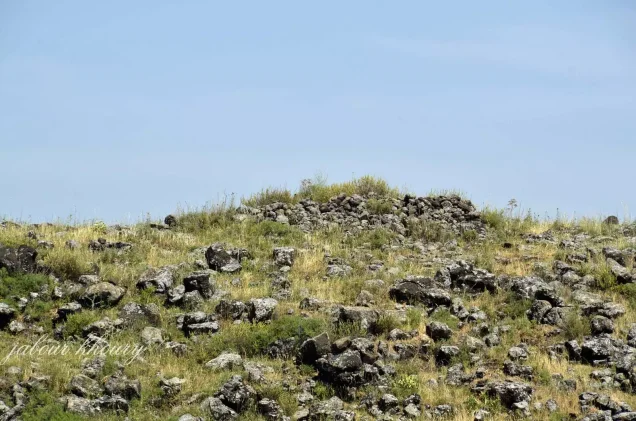

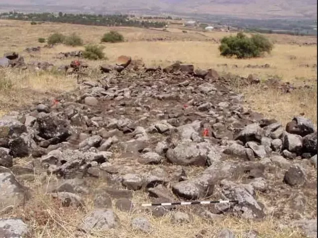
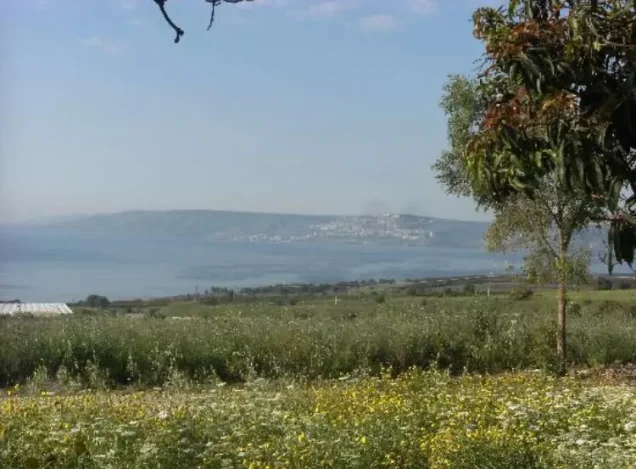

Photos from the village's people
Photos sent in by visitors and published after review.
Add a photo of this village
Log in to add photos of this village.
Other villages from Safed


More from the archive



 Download Our Palestine App
The whole archive in the palm of your hand: depopulated villages, the Nakba, the massacres and Al-Aqsa — free, with no ads to erase the story.
Download Our Palestine App
The whole archive in the palm of your hand: depopulated villages, the Nakba, the massacres and Al-Aqsa — free, with no ads to erase the story.



Comments
No comments yet — be the first to write one.
Add your comment
Name and email are optional. Comments appear after review.