
The depopulated village of Dayshum / District of Safed
Dayshum
About the depopulated village of Dayshum
- District
- Safed
- Date Dayshum was occupied
- 30 October 1948
- Population in 1948
- 684
- Military operation
- Operation Hiram
- Brigade that carried it out
- Probably units of the Seventh (Sheva') Brigade, which reached it later in Operation Hiram; the sources do not name the unit that entered the village on 30 October 1948
- Distance from the governorate centre
- 12.5 km north of Safad
- Elevation above sea level
- 600 m
- Cause of displacement
- Per Morris as cited by Khalidi, probably evacuated out of fear after news of the Safsaf and Jish massacres, the people fleeing (or expelled) to Lebanon; an Israeli intelligence report dates it to 9 May 1948, citing Arab fighters there and Zionist actions
- Extent of destruction
- The village has been completely obliterated, and only house rubble left behind.
- Ethnic cleansing
- Dayshum inhabitants were completely ethnically cleansed.
- Settlements built on the built-up area of Dayshum after 1948
- Dishon, a moshav established in 1953 just east of the village site
- Refugees' migration routes
- Villagers probably fled (or were expelled) to Lebanon
Hover a dot to read the village name, or click to open its card.
Borders of the depopulated village of Dayshum
Subdistrict: Safad Subdistrict
- Subdistrict
- Safad
- Distance from district center
- 12.5 km north of Safad
- Average Elevation
- 600 m above sea level
- Population in 1931
- 438
- Number of Houses in 1931
- 102
- Population in 1944/1945
- 590
- Estimated Population in 1948
- About 684 – a later demographic estimate, not an official census
- Total Land Area in 1945
- 23,044 dunams
- Attack and Depopulation
- According to Israeli historian Benny Morris, as cited by Khalidi, Dayshum was empty when Israeli occupation forces entered it on 30 October 1948, in the early stages of Operation Hiram, having probably been evacuated when news reached it of the massacres committed by soldiers of the Seventh (Sheva') Brigade at nearby Safsaf and Jish. An Israeli military intelligence report published by PalQuest, however, states that the village was fully evacuated on 9 May 1948 and that its inhabitants went to Lebanon.
- Final Israeli Control
- 30 October 1948, when Israeli occupation forces entered the empty village in the early stages of Operation Hiram, according to Morris as cited by Khalidi
- Military Operation
- Operation Hiram
- Military Unit
- Probably units of the Seventh (Sheva') Brigade, which reached the village later in Operation Hiram, as cited by Khalidi; the available sources do not name the unit that entered it on 30 October 1948
- Cause of Depopulation
- Sources differ: according to Morris as cited by Khalidi, the village was probably evacuated out of fear after news reached it of the massacres committed by Seventh Brigade soldiers at nearby Safsaf and Jish, its inhabitants probably fleeing (or being expelled) to Lebanon; an Israeli military intelligence report attributes its evacuation on 9 May 1948 to a concentration of Arab fighters there and to the actions of Zionist forces
- Settlements Documented on Village Lands
- Dishon, a moshav established in 1953 just east of the village site
Estimated population of Dayshum in 1948: 684, commonly rounded to approximately 680
Date of occupation and depopulation: 30 October 1948
Military operation and probable occupying unit: Operation Hiram; units of the Sheva' (Seventh) Brigade probably entered the village
Israeli settlements established on Dayshum’s land before 1948: None
Israeli settlements established on or near Dayshum’s land after 1948: Dishon, established immediately east of the village site in 1953
Dayshum was located approximately 12.5 kilometres north of Safad.
Dayshum was a depopulated Palestinian village in the Safad Subdistrict, situated near the Lebanese border. Secondary roads connected it with Safad and the neighbouring Palestinian villages.
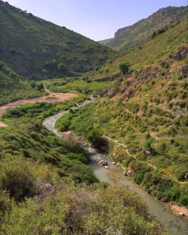
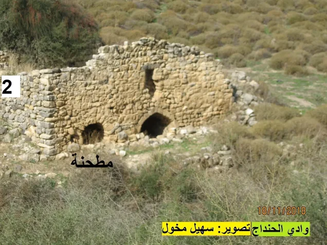
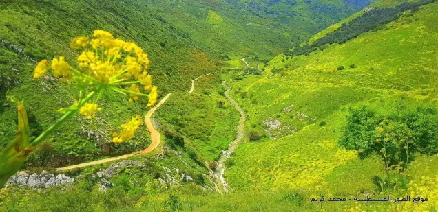
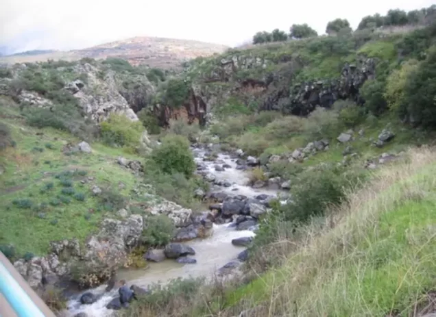
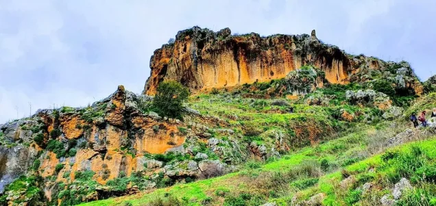
The village stood on rocky but gently sloping land overlooking the ridges along Wadi Fara, which passed to the west. Its closely grouped houses were constructed from stone and mud. Dayshum had three mills and several small gardens. All its inhabitants were Muslims, and some were descended from Algerian migrants who had fought alongside Abd al-Qadir al-Jaza'iri against French colonial forces. They most probably arrived in the region after his defeat and banishment to Damascus in 1847.
Architecture of Dayshum
In the late nineteenth century, Dayshum was described as a “well-built” village with approximately 400 inhabitants. Its houses stood on the side of a steep hill near the bottom of a valley and had gabled roofs. The closely grouped houses were built from stone and mud. The village contained three mills and several small gardens.
Boundaries of Dayshum
Dayshum was situated among the following Palestinian villages and localities:
- North: Qadas.
- Northwest: al-Malikiyya.
- West and southwest: Alma.
- South: Marus.
- Southeast: Tulayl.
- East: Mallaha (Arab al-Zubayd).
- Northeast: Harrawi (Arab al-Hamdun).
Population of Dayshum
All the inhabitants of Dayshum were Palestinian Muslims. Some were descended from Algerian migrants who had fought alongside Abd al-Qadir al-Jaza'iri against French colonial forces during the 1830s and 1840s. They most probably accompanied or followed him to the region after his defeat and banishment to Damascus in 1847. Because some of their ancestors had been horsemen in Algeria, the villagers developed a strong tradition of horse breeding.
Dayshum had 426 inhabitants in the 1922 British Mandate census. Its population increased slightly to 438 in 1931 and reached 590 according to the official 1945 village statistics.
Later community accounts state that thousands of descendants of Dayshum’s displaced inhabitants live in Palestinian refugee communities in Lebanon and Syria, while others remained in Palestine. A reliable, current demographic total specific to the village’s descendants could not be established from the academic and official sources consulted.
Population Records for Dayshum
- 1596Approximately 50
- 1922426
- 1931438
- 1945590
- 1948684
- Estimated number of refugees in 19984,203
* The 1596 figure is an estimate derived from an Ottoman tax record. The figures for 1948 and 1998 are demographic estimates rather than contemporaneous census counts. Estimates vary between sources.
Number of Houses in Dayshum
- 1931102
- 1948159
* The 1931 figure is an official census count, while the 1948 figure is an estimate.
Economic Life in Dayshum
- Horse breeding held particular importance in Dayshum. Agriculture was nevertheless the village’s principal source of livelihood. Some crops depended on rainfall, while others were irrigated from a stream passing through the village. The inhabitants cultivated mainly cereals, fruit, and olives. They also raised livestock, cut timber, and traded in wood. Trees northeast and southwest of the village supplied both fruit and timber. In 1944–1945, 4,701 dunams under Palestinian ownership were devoted to cereal cultivation, while 611 dunams were irrigated or used for orchards.
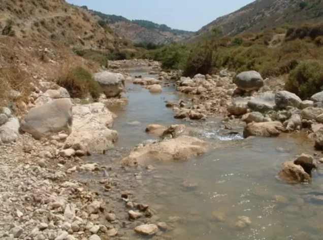
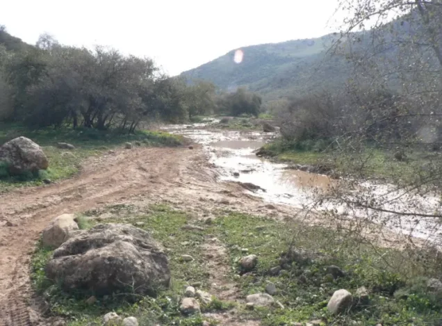
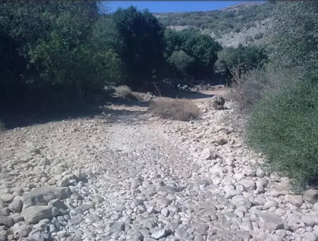
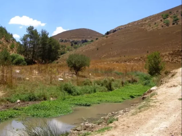
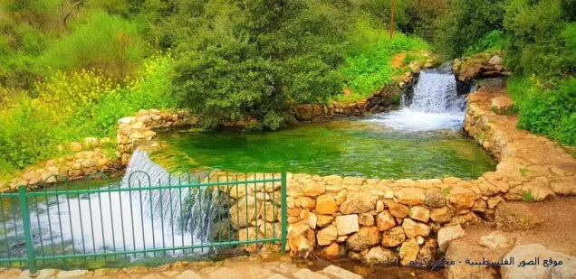
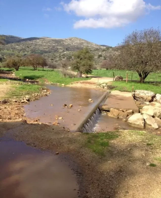
- Surface water was available from Sayl al-Handaj, which crossed the village lands and irrigated the surrounding farms. A spring was located near the village square, while rainwater supported the cultivation of rainfed crops.
Land Use in Dayshum in 1944–1945
- Palestinian ownership (dunams)
- Public land (dunams)
- Irrigated land and orchards611 dunums
- Cereal cultivation5,341 dunums
- Cultivable land5,952 dunums
- Uncultivated land17,092 dunums
* One dunam equals approximately 1,000 square metres.
Land Ownership in Dayshum
- Palestinian ownership22,393 dunums97%
- Jewish ownership0 dunums0%
- Public land651 dunums3%
* One dunam equals approximately 1,000 square metres.
Archaeological Sites in Dayshum
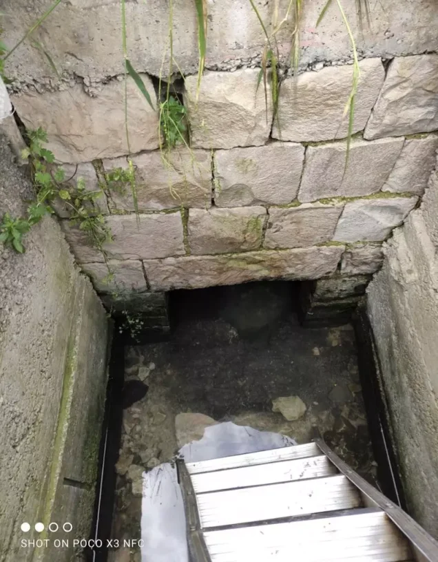
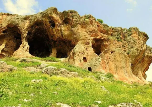
Archaeological sites near Dayshum included two khirbas, Khirbat Dayr Habib and Dayshun. They contained the remains of animal enclosures, piles of building stones, cisterns, buildings, columns, and rock-cut tombs.
Occupation and Depopulation of Dayshum
- According to Israeli historian Benny Morris, Dayshum was already empty when Israeli forces entered it on 30 October 1948 during Operation Hiram, part of Israel’s occupation of Palestine in the Nakba. Units of the Sheva' (Seventh) Brigade probably reached Dayshum as they advanced through the northern Galilee.
- Morris suggests that the village may have been evacuated after news arrived of killings committed by soldiers of the Seventh Brigade in the nearby Palestinian villages of Safsaf and Jish. This sequence remains a historical assessment rather than a conclusively documented explanation for every inhabitant’s departure. Given Dayshum’s proximity to the border, its inhabitants probably fled or were expelled towards Lebanon.
Occupation and Depopulation Chronology
- 9 May 1948, or probably late October 1948 (sources differ)
Exodus of the inhabitants
An Israeli military intelligence report dated 30 June 1948 and published by PalQuest states that Dayshum was fully evacuated on 9 May 1948 and that its inhabitants went to Lebanon, attributing this to a concentration of Arab fighters there and to the actions of Zionist forces. Morris, as cited by Khalidi, considers instead that the village was probably evacuated when news reached it of the massacres committed by soldiers of the Seventh (Sheva') Brigade at nearby Safsaf and Jish during Operation Hiram, and Khalidi considers it probable that its inhabitants fled (or were expelled) to Lebanon.
- 28 October 1948
Beginning of the military operation
Israeli occupation forces launched Operation Hiram with units from the Sheva' (Seventh), Carmeli, Golani and Oded brigades; it lasted until 31 October 1948, and the whole of Upper Galilee was occupied during it. PalQuest lists Dayshum among the villages affected by the operation.
- 30 October 1948
Final occupation
Israeli occupation forces entered the village, which was empty of its inhabitants, in the early stages of Operation Hiram, according to Morris as cited by Khalidi. Units of the Seventh Brigade probably reached it later in the same operation, as they went on to annex parts of the Galilee panhandle.
- 1953
Settlement on village lands
Moshav Dishon was established just east of the village site; it uses the land around the site for animal grazing and apple cultivation.
Israeli Settlements Established on or near the Land of Dayshum
The Israeli settlement of Dishon was established in 1953 immediately east of the former village site. The principal academic source describes it as being just east of the site but does not explicitly state in the relevant entry that it was built directly on Dayshum’s registered land. It now uses the surrounding land for livestock grazing and apple cultivation.
Dayshum Today
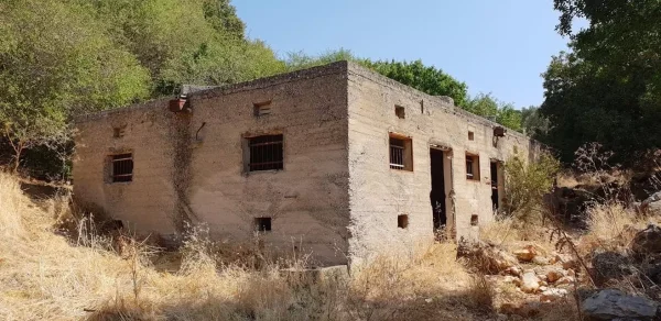
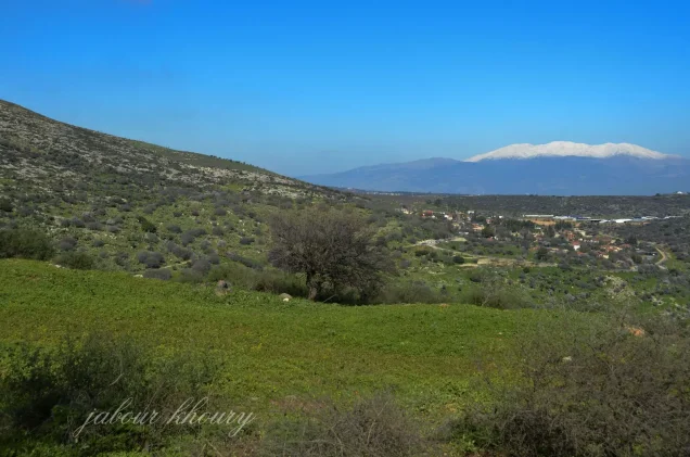
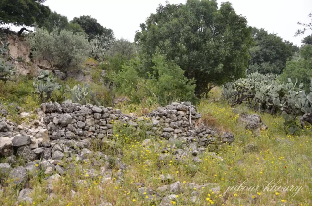
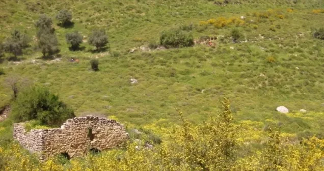
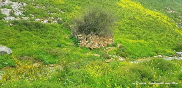
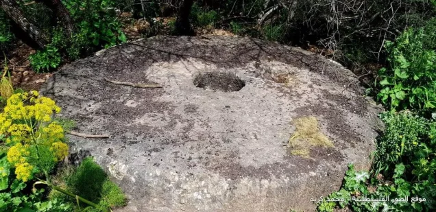
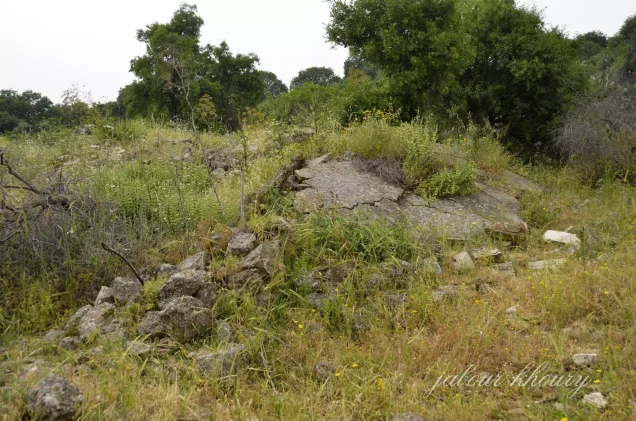
- Cactus plants and thorns grow across the village site. The principal surviving traces of Dayshum are piles of stones from demolished houses and the remains of agricultural terraces.
- The surrounding land is used by the residents of Dishon for livestock grazing and apple cultivation.
Sources
- PalQuestInteractive Encyclopedia of the Palestine Question – Dayshum
- Palestine RememberedPalestine Remembered – Dayshum
- Palestine RememberedGovernment of Palestine, Village Statistics, April 1945
- Walid Khalidi, All That Remains: The Palestinian Villages Occupied and Depopulated by Israel in 1948, Institute for Palestine Studies, 1992, pp. 438–439.
- Government of Palestine, Palestine: Report and General Abstracts of the Census of 1922.
- Government of Palestine, Census of Palestine, 1931: Population of Villages, Towns and Administrative Areas.
Photo gallery
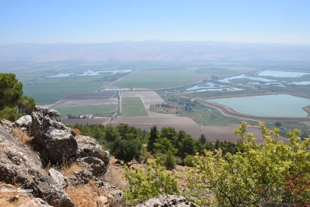
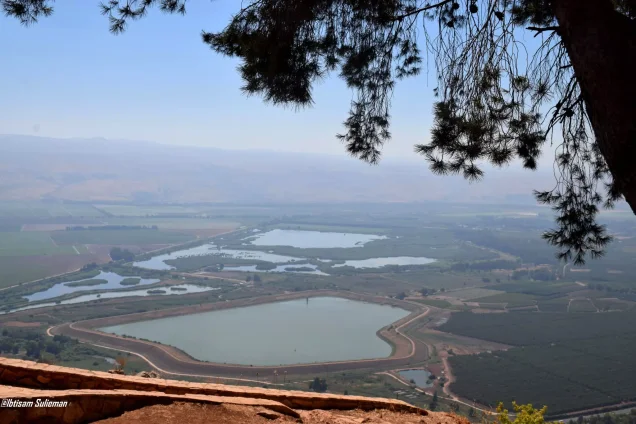
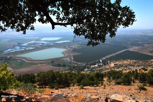
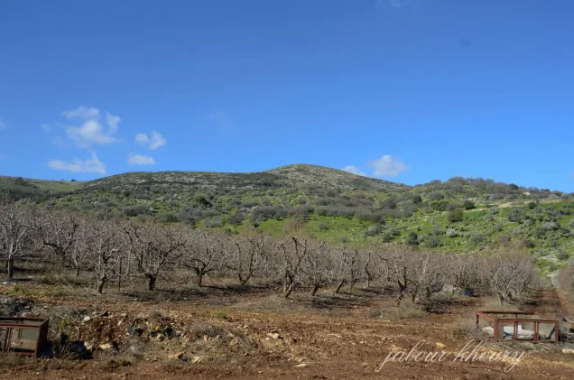
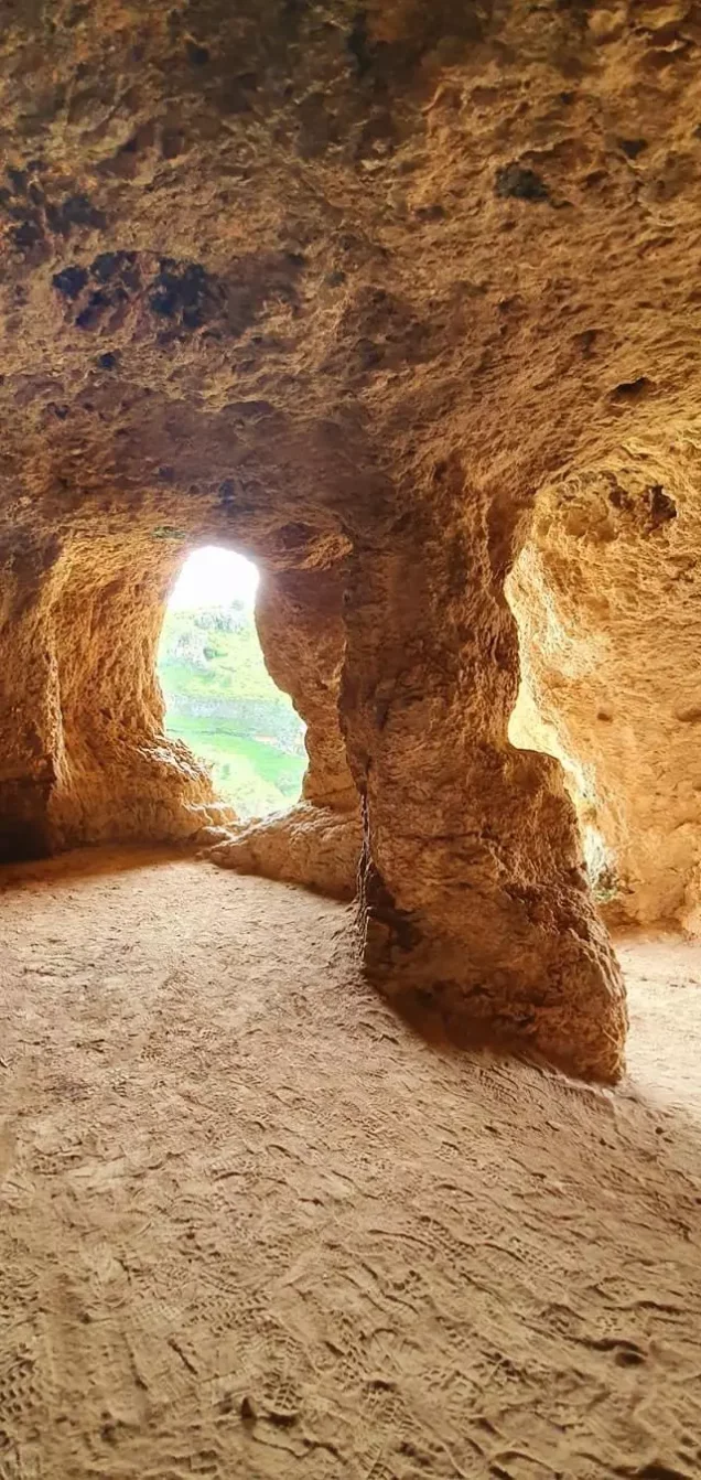
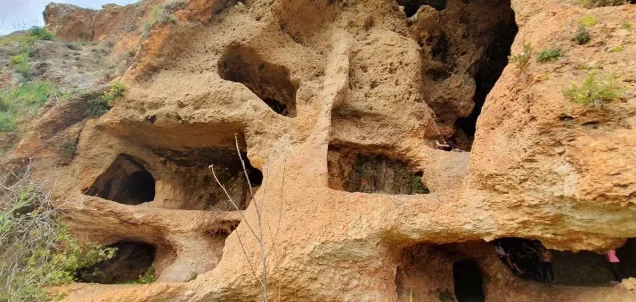
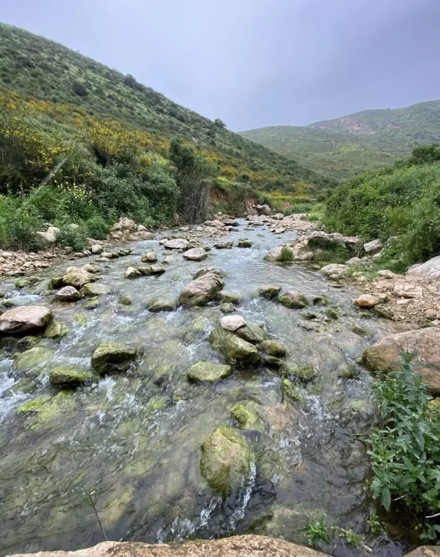

Photos from the village's people
Photos sent in by visitors and published after review.
Add a photo of this village
Log in to add photos of this village.
Other villages from Safed

More from the archive



 Download Our Palestine App
The whole archive in the palm of your hand: depopulated villages, the Nakba, the massacres and Al-Aqsa — free, with no ads to erase the story.
Download Our Palestine App
The whole archive in the palm of your hand: depopulated villages, the Nakba, the massacres and Al-Aqsa — free, with no ads to erase the story.



Comments
No comments yet — be the first to write one.
Add your comment
Name and email are optional. Comments appear after review.