
The depopulated village of Sa'sa / District of Safed
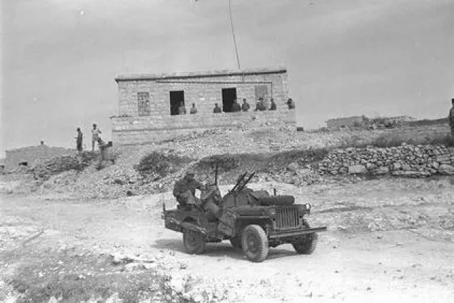
About the depopulated village of Sa'sa
- District
- Safed
- Date Sa'sa was occupied
- 30 October 1948
- Population in 1948
- 1,310
- Military operation
- Operation Hiram
- Brigade that carried it out
- The Seventh Brigade
- Distance from the governorate centre
- 12 (km) North East of Safad
- Elevation above sea level
- 825 m
- Cause of displacement
- Expulsion by Zionist troops
- Extent of destruction
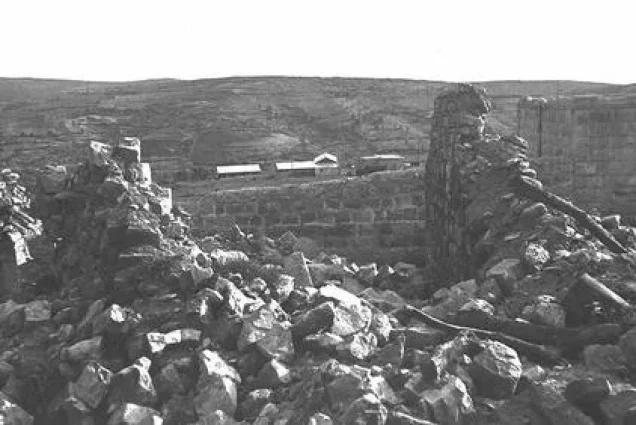
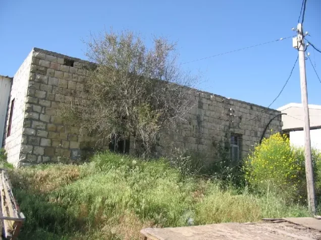
- The village has been mostly destroyed with the exception of few houses, some are deserted, and some are used by Jewish settlers
- Ethnic cleansing
- The village inhabitants were mostly ethnically cleansed to Lebanon, but some were allowed to stay in Jish (Safad).
Hover a dot to read the village name, or click to open its card.
Borders of the depopulated village of Sa'sa
Sa'sa': A Depopulated Palestinian Village in the Safad District
Sa'sa' was a Palestinian village in the Safad District, situated in the heart of the Upper Galilee mountains approximately 12 kilometres northwest of the city of Safad, at an average elevation of about 875 metres above sea level. Its population reached 1,130 in the 1944/1945 statistics. The village suffered a massacre during a raid by the Palmach's Third Battalion in February 1948 and was ultimately occupied by the Sheva' (Seventh) Brigade on 30 October 1948 during Operation Hiram. Its inhabitants were displaced during the Nakba and the occupation of Palestine in 1948.
Location
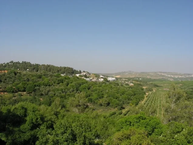
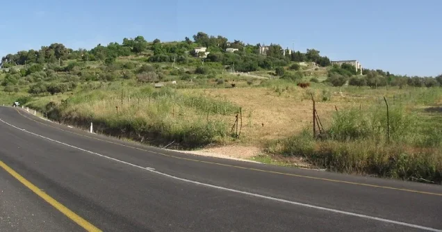
Sa'sa' stood on a rocky hill in the heart of Upper Galilee at an average elevation of approximately 875 metres above sea level, about 12 kilometres northwest of Safad.
The village lay at the intersection of a network of roads linking it with Safad and neighbouring villages and was situated close to the Palestine–Lebanon border.
Mount al-Jarmaq rose to the south, while Sa'sa's high elevation and road connections gave the village considerable geographical and strategic importance.
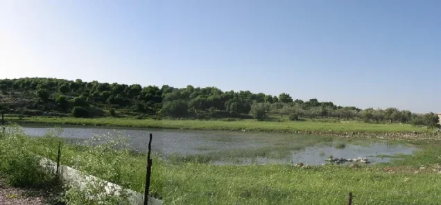
Several springs provided the inhabitants with a plentiful water supply.
Sa'sa' During the British Mandate
Because of the village's proximity to Lebanon and its location along an important road network, the British Mandate authorities established watchtowers and barbed-wire barriers in Sa'sa' during the late 1930s.
The purpose of these installations was to monitor Palestinian guerrilla activity during the Great Palestinian Revolt and hinder the movement of support across the frontier.
Sa'sa' Through History
The Palestinian village stood on an archaeological site that had been inhabited since the Bronze Age, particularly the early second millennium BCE.
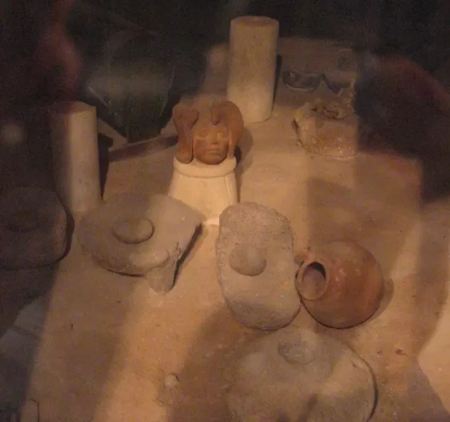
Archaeological remains uncovered at the site included walls, tombs, cisterns, and olive and wine presses.
This evidence indicates ancient habitation at the site but does not mean that the modern Palestinian village had existed continuously in the same form since the Bronze Age.
The Arab geographer Abu 'Ubayd Allah al-Bakri, who died in 1094, mentioned passing through Sa'sa' while travelling from Dayr al-Qasi to Safad.
In 1596, Sa'sa' was a village in the nahiya of Jira in the Safad district, with an estimated population of approximately 457.
The inhabitants paid taxes on wheat, barley, olives, fruits, vineyards, goats, and beehives.
In the late nineteenth century, Sa'sa' was described as a village on a low hill surrounded by vineyards and olive and fig trees, with approximately 300 inhabitants.
Architecture and Public Facilities
The houses of Sa'sa' were generally built of stone and mud and stood close together in rows separated by narrow, winding alleys.
The built-up area amounted to approximately 48 dunams in the 1944/1945 statistics.
A small marketplace with several shops stood in the village centre, together with a mosque.
Sa'sa' also had two elementary schools, one for boys and one for girls.
Population
The official 1922 Census of Palestine recorded 634 inhabitants in Sa'sa', all Muslims.
The figure of 643 found in some later tables is incorrect. The official census recorded 282 males and 352 females, producing a total of 634.
In the 1931 census, the population increased to 840 Muslims living in 154 houses.
According to the 1944/1945 statistics, Sa'sa' had a population of 1,130.
The estimates of approximately 1,311 inhabitants for 1948 and 8,050 refugees and descendants in 1998 published by Palestine Remembered are later estimates rather than official British Mandate censuses.
Population of Sa'sa'
- 1596About 457Historical estimate based on Ottoman records
- Late nineteenth centuryAbout 300Historical estimate
- 1922634Official census; all Muslims
- 1931840Official census
- 1944/19451,130Government of Palestine statistics
- 1948About 1,311Later estimate
- 19988,050Estimate of refugees and their descendants
Number of Houses
The 1931 census recorded 154 houses in Sa'sa'.
The figure of approximately 240 houses for 1948 is a later estimate rather than an official census figure.
Land of Sa'sa'
According to the 1944/1945 statistics, Sa'sa' had a total land area of 14,796 dunams.
Arab ownership amounted to 12,822 dunams, while 1,974 dunams were classified as public land. No Jewish-owned land was recorded in the village's statistical unit.
Land Ownership in Sa'sa' in 1944/1945
- Arab ownership12,822 dunums87%
- Jewish ownership0 dunums0%
- Public land1,974 dunums13%
Agriculture and Economic Life
Most inhabitants of Sa'sa' depended on agriculture, alongside livestock raising and small-scale trade.
The villagers reclaimed parts of the surrounding land and replaced some wild vegetation with cultivated fruit trees, including apples and olives, as well as grape vines.
According to the 1944/1945 statistics, 4,514 dunams were devoted to cereals, including 4,496 Arab-owned dunams and 18 dunams of public land.
Irrigated and plantation land covered 1,404 dunams, all Arab-owned.
Palestine Remembered records approximately 150 dunams planted with olive trees. This represents a crop category within the cultivated land and should not be added separately to the overall land-use totals.
Land Use in Sa'sa' in 1944/1945, in Dunams
- Arab
- Public
- Cereals4,514 dunums
- Irrigated and plantation land1,404 dunums
- Built-up area48 dunums
- Uncultivable land8,830 dunums
Archaeology
Sa'sa' contained an archaeological site whose settlement history extended back to the Bronze Age in the early second millennium BCE.
Remains uncovered at the site included walls, burial places, cisterns, and olive and wine presses.
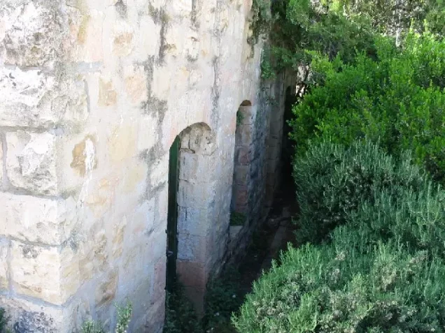
One old village building survived, although damaged and abandoned, until the 1960s. The structure itself may have dated to the eighteenth century, while archaeologists dated its foundations to the fourth century CE.
The First Sa'sa' Massacre – February 1948
On the night of 14–15 February 1948, a company from the Palmach's Third Battalion raided Sa'sa'.
Walid Khalidi and PalQuest, transmitting the account found in the History of the Haganah, state that battalion commander Moshe Kelman had been ordered to blow up twenty houses and inflict the largest possible number of casualties among fighters whom the attacking force claimed were based in the village.
The Palmach force entered Sa'sa' at night, placed explosive charges against houses, and detonated them.
Sources differ substantially over both the death toll and the scale of destruction. The military account transmitted through the Palestinian sources refers to ten houses being completely or partially destroyed and “tens” of people being killed. A contemporary press report cited by PalQuest recorded 11 villagers killed, including five young children, three wounded, three houses completely destroyed, and eleven others heavily damaged.
Elsewhere, PalQuest's general Nakba chronology gives a higher estimate of 60–80 people killed and 35 houses destroyed.
Because of these significant discrepancies, this article does not present a single casualty figure as conclusively established. The available sources do, however, establish that homes were deliberately blown up and that civilians, including children, were among those killed.
The Israeli military account is cited here only as transmitted through Walid Khalidi and PalQuest and not through direct reliance on the original Israeli source.
Operation Hiram and the Occupation of Sa'sa'
Operation Hiram
Operation Hiram was carried out between 28 and 31 October 1948 with the objective of occupying Upper Galilee and eliminating the remaining area outside Israeli control in northern Palestine.
Forces from the Sheva' (Seventh), Carmeli, Golani, and 'Oded brigades were among those involved, advancing from several directions and occupying most of Upper Galilee within approximately three days.
The Occupation of Sa'sa'
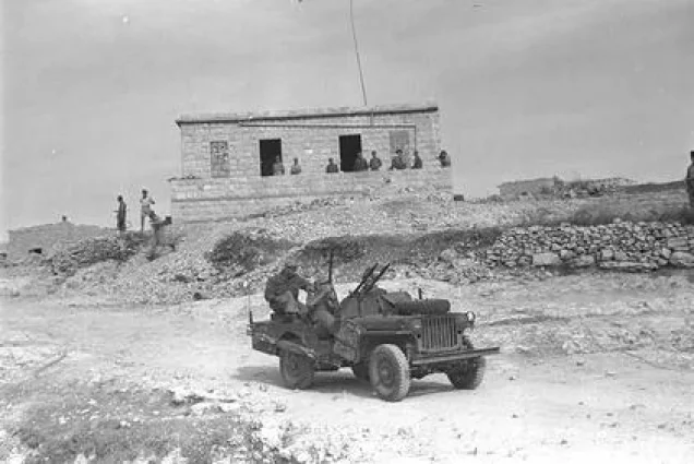
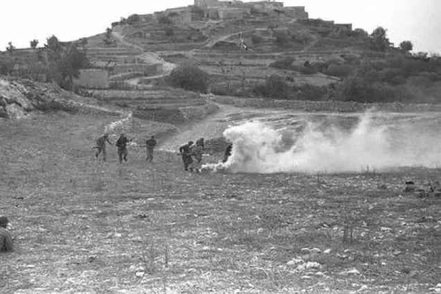
On 30 October 1948, forces advancing from the eastern and western fronts converged on Sa'sa' in a pincer movement.
Walid Khalidi and PalQuest attribute the direct capture of the village to the Sheva' Brigade, or Seventh Brigade.
According to the military description transmitted through the Palestinian sources, the unit took the village without encountering significant resistance.
Some inhabitants had already fled earlier that day after seeing aircraft circling and bombing Safsaf and Jish and hearing gunfire throughout the night. Others reportedly fled after hearing of the atrocities committed in neighbouring Safsaf.
The Second Massacre and Displacement
PalQuest and Walid Khalidi document a second massacre in Sa'sa' on 30 October 1948, coinciding with the village's occupation during Operation Hiram.
The sources transmit an acknowledgment that acts of “mass murder” occurred in Sa'sa', despite the account stating that the occupying force encountered little or no resistance.
The same material also indicates that some villagers were expelled following the occupation.
The principal Palestinian sources reviewed do not provide a reliable final death toll for the October massacre, and this article therefore avoids assigning an unverified number of victims.
Testimonies collected by Palestinian historian Nafez Nazzal indicate that fear generated by bombardment, surrounding battles, and reports of massacres in nearby villages contributed to the flight of residents, while some of those who remained were subsequently expelled.
Israeli Settlements on the Lands of Sa'sa'
Sasa
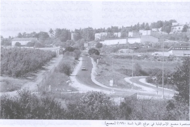
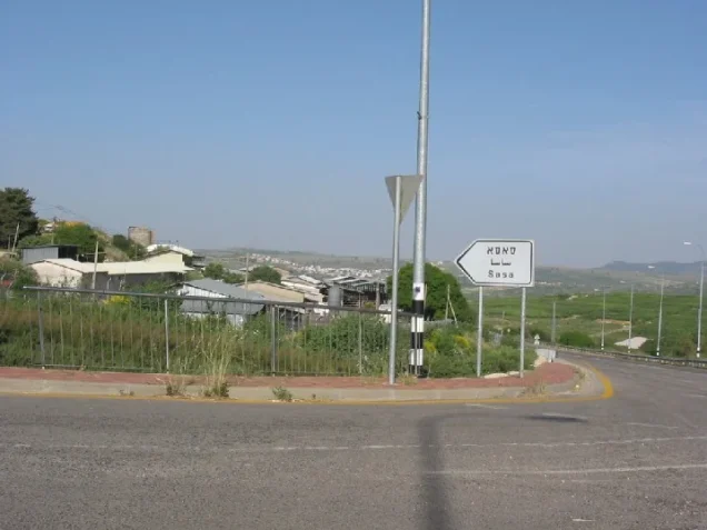
The settlement of Sasa was established in 1949 on the site and lands of the Palestinian village.
Mattat
Mattat was established in 1979 and is listed by Walid Khalidi and PalQuest among the settlements located on the site or lands of Sa'sa'.
- 1949Sasa
Established on the village site and its lands
- 1979Mattat
Listed by Walid Khalidi and PalQuest as lying on the site or lands of Sa'sa'
The Site of Sa'sa' After the Nakba
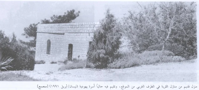
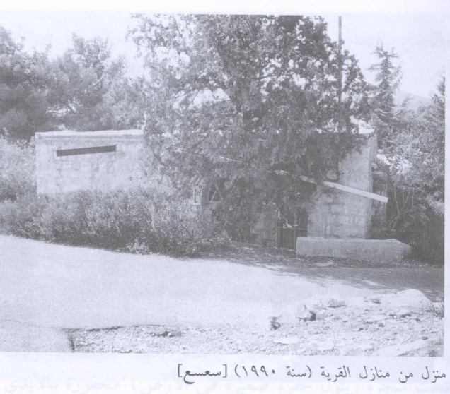
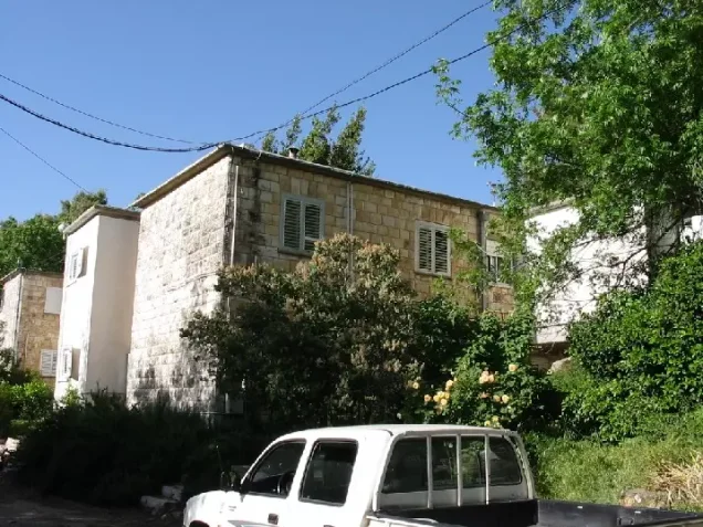
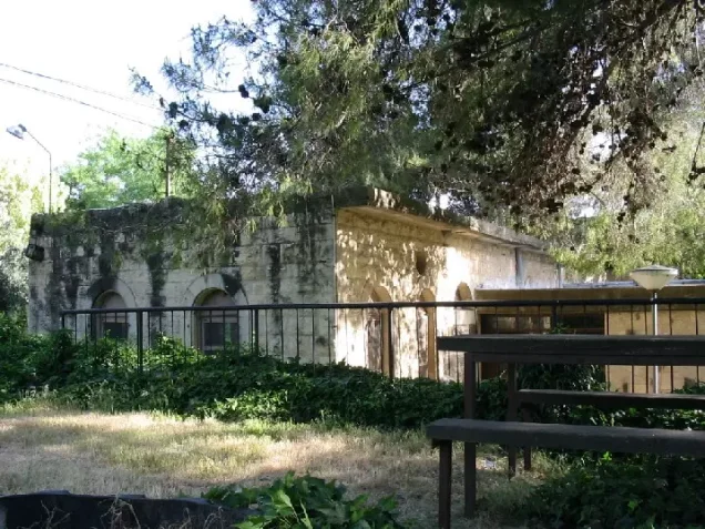
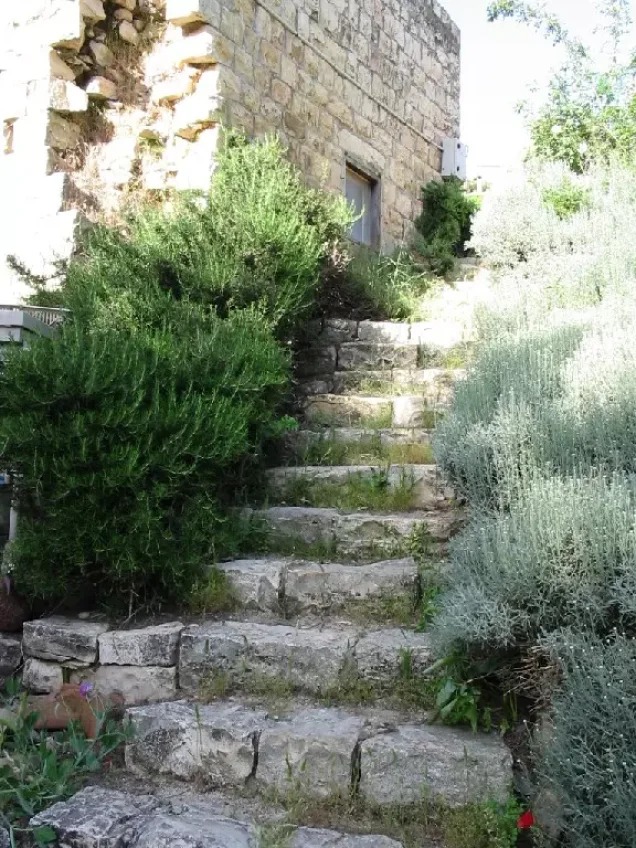
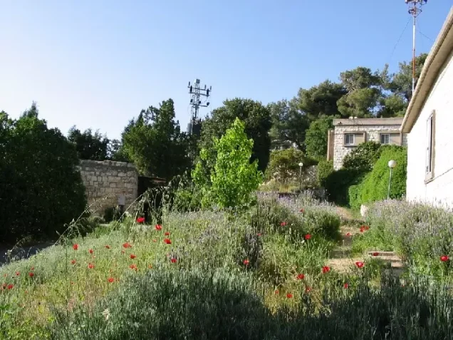
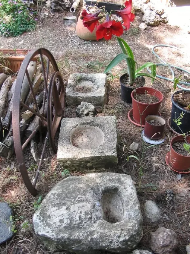
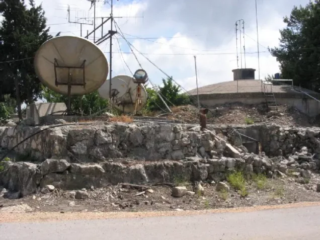
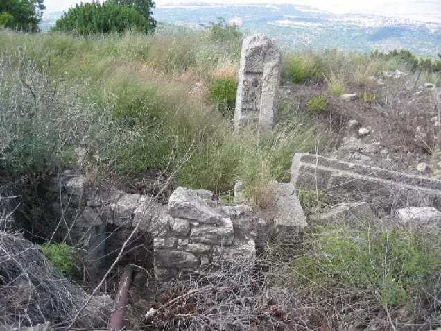
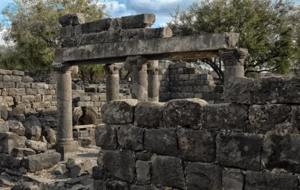
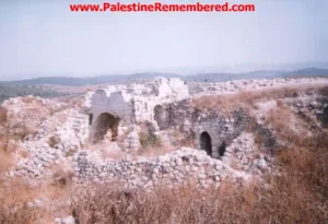
Not all of Sa'sa's buildings were immediately erased following its occupation. A number of houses and walls remained standing.
The documentation relied upon by Walid Khalidi states that bulldozer crews demolished many of the remaining village structures during the 1960s.
Some surviving houses were subsequently used by residents of the settlement, including one building with an arched entrance and arched windows.
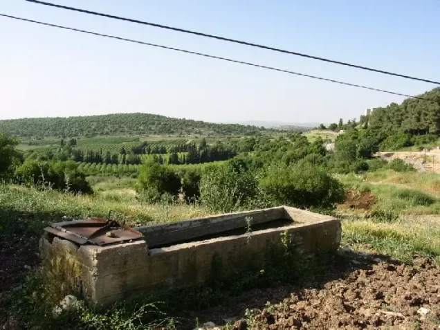
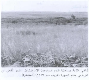
Some of the old olive trees also remained. A large portion of the surrounding lands was converted into forest, while the remainder was cultivated.
This description reflects the condition of the site during the field documentation relied upon by Walid Khalidi and should not necessarily be interpreted as a comprehensive survey updated to 2026.
Sources
- PalQuest – Interactive Encyclopedia of the Palestine Question: Sa'sa'.
- PalQuest: Operation Hiram.
- PalQuest: General Chronology of the Nakba.
- Institute for Palestine Studies: publications and documents concerning Sa'sa' and the 1948 massacres.
- Palestine Remembered: Sa'sa', Safad District.
- Walid Khalidi, All That Remains, entry on Sa'sa'.
- Nafez Nazzal, The Palestinian Exodus from Galilee, 1948, Institute for Palestine Studies.
- Government of Palestine, Census of Palestine, 1922.
- Government of Palestine, Census of Palestine, 1931.
- Government of Palestine, Department of Statistics, Village Statistics, 1945.
Photo gallery
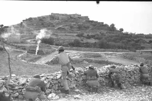
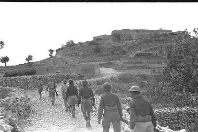
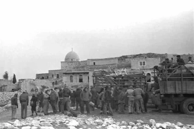
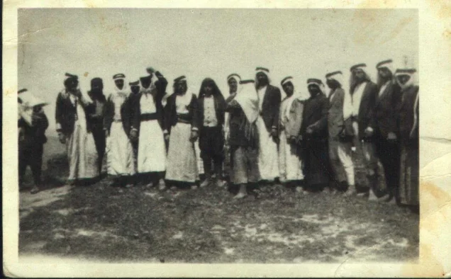
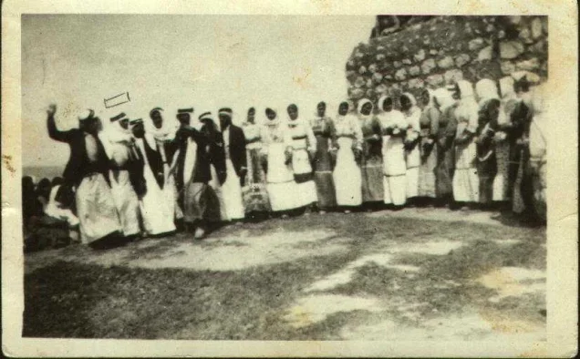
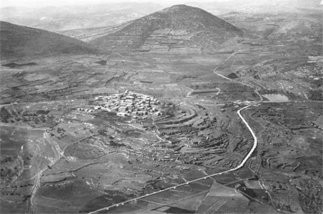
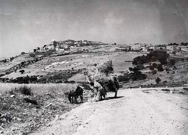
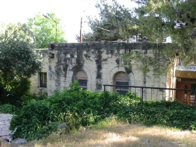




Photos from the village's people
Photos sent in by visitors and published after review.
Add a photo of this village
Log in to add photos of this village.
Other villages from Safed

More from the archive


 Download Our Palestine App
The whole archive in the palm of your hand: depopulated villages, the Nakba, the massacres and Al-Aqsa — free, with no ads to erase the story.
Download Our Palestine App
The whole archive in the palm of your hand: depopulated villages, the Nakba, the massacres and Al-Aqsa — free, with no ads to erase the story.



Comments
No comments yet — be the first to write one.
Add your comment
Name and email are optional. Comments appear after review.