
The depopulated village of Wadi al-Hawarith / District of Tulkarm

Wadi al-Hawarith
About the depopulated village of Wadi al-Hawarith
- District
- Tulkarm
- Date Wadi al-Hawarith was occupied
- 15 March 1948
- Brigade that carried it out
- Haganah
- Distance from the governorate centre
- 16.5 km northwest of Tulkarm
- Elevation above sea level
- 25 m
- Cause of displacement
- Direct military assault by Zionist forces (the Haganah), preceded by psychological warfare designed to induce the inhabitants to leave, according to Morris as cited by Khalidi
- Extent of destruction
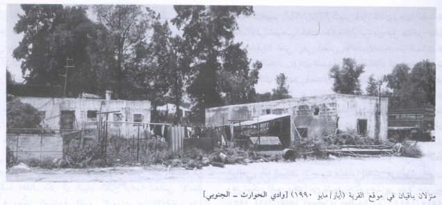
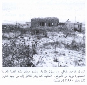
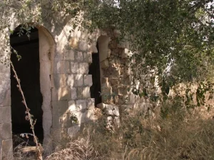
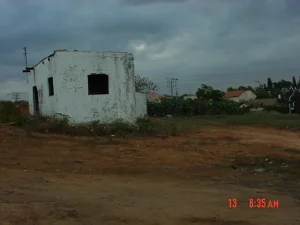
- Wadi al-Hawarith was mostly destroyed with the exception of four houses which has survived destruction. Currently, one of these houses is being occupied by a Palestinian-Israeli family, and the others are occupied by Israeli Jewish settlers.
- Ethnic cleansing
- Wadi al-Hawarith inhabitants were completely ethnically cleansed.
- Settlements built on the land of Wadi al-Hawarith before 1948
- Kefar ha-Ro'e, established on village lands in 1934; and Ge'uley Teyman, built in 1947 on what had been village lands
Hover a dot to read the village name, or click to open its card.
Borders of the depopulated village of Wadi al-Hawarith
Wadi al-Hawarith: A Depopulated Palestinian Village in the Tulkarm District
Wadi al-Hawarith was a Palestinian village in the Tulkarm District, located 16.5 kilometers northwest of the city of Tulkarm on Palestine's coastal plain. It consisted of two principal sections, Wadi al-Hawarith al-Shamaliyya and Wadi al-Hawarith al-Qibliyya, which were treated as separate statistical units in the 1945 Village Statistics.
- Subdistrict
- Tulkarm
- Distance from district center
- 16.5 km northwest of Tulkarm
- Average Elevation
- 25 m above sea level
- Population in 1931
- 1,112
- Number of Houses in 1931
- 255
- Population in 1944/1945
- 1,330 – total of the village's two sections: 850 in Wadi al-Hawarith North and 480 in Wadi al-Hawarith South
- Total Land Area in 1945
- 7,106 dunams – according to the 1944/45 statistics as given by PalQuest, whose Arabic and English footnotes differ on which section of the village the figure covers (South or North)
- Attack and Depopulation
- After a psychological warfare operation designed to induce the residents to leave, the Haganah attacked the village, and the combined effect of physical and psychological warfare led to the departure of its inhabitants on 15 March 1948, according to Morris as cited by Khalidi, as part of coordinated operations to clear the coastal plain north of Tel Aviv of its Arab inhabitants. At the end of April and in early May 1948 the Haganah, assisted by neighbouring settlements, destroyed the houses of this and neighbouring villages, rendering a return 'all but impossible'.
- Final Israeli Control
- The sources give no specific date on which Zionist forces took control of the village; its inhabitants left on 15 March 1948 after the Haganah attack, and the Haganah destroyed its houses at the end of April and in early May 1948
- Military Unit
- The Haganah (the sources do not name a particular brigade)
- Cause of Depopulation
- Direct military assault by Zionist forces (the Haganah), preceded by psychological warfare designed to induce the inhabitants to leave, according to Morris as cited by Khalidi
- Settlements Documented on Village Lands
- Kefar ha-Ro'e, established on village lands in 1934; and Ge'uley Teyman, built in 1947 on what had been village lands
From the late 1920s onward, the inhabitants of Wadi al-Hawarith became involved in a prolonged struggle to remain on land that they had cultivated and inhabited for generations after large tracts passed to the Jewish National Fund. During the Nakba and the occupation of Palestine in 1948, the great majority of the inhabitants were displaced, and the Haganah subsequently destroyed most of the village houses in late April and early May 1948.
Location and Geography of Wadi al-Hawarith
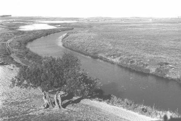
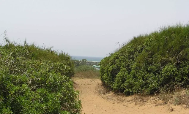
The northern and southern sections of Wadi al-Hawarith lay in a plain west of the main coastal road. The area had an average elevation of approximately 25 meters above sea level.
The village lands extended across part of the Palestinian coastal plain and included sandy and clay soils as well as low-lying areas where water accumulated. Local marshes included Bassat al-Shaykh Muhammad, Bassat al-Shaykh Hasan, and Bassat al-Shaykh Salih.
Origin of the Name Wadi al-Hawarith
The area was originally known as Nahr or Wadi Iskandaruna. According to the account cited by Walid Khalidi, the name changed after Banu Haritha settled in the region during the second half of the sixteenth century and the beginning of the seventeenth century.
Banu Haritha are identified as belonging to Banu Sunbus of the Qahtani tribe of Tayy, and the inhabitants of Wadi al-Hawarith were associated with the Banu Sunbus clans.
The Lands of Wadi al-Hawarith
It is important to distinguish between the lands of Wadi al-Hawarith in their broader geographical sense and the statistical land unit recorded by the Government of Palestine toward the end of the British Mandate. According to Walid Khalidi, a large tract of approximately 30,000 dunums in the Wadi al-Hawarith area was associated with the ownership of the family of Antun Bishara al-Tayyan of Jaffa. The 1944/1945 Village Statistics, however, recorded different figures for the statistical unit listed under Wadi al-Hawarith.
The figure of approximately 30,000 dunums should therefore not be treated as identical to the officially recorded village area in the 1945 statistics. It refers instead to the wider tract involved in the dispute between the al-Tayyan family, the tenants, and the Jewish National Fund.
Land Ownership in Wadi al-Hawarith, 1944/1945
PalQuest, drawing on Government of Palestine statistics, gives the following distribution of land ownership. The total area listed in this table is 7,106 dunums.
Land Ownership in Wadi al-Hawarith According to the 1944/1945 Statistics
- Arab2,515 dunums35%
- Transferred to Zionist ownership2,795 dunums39%
- Public Land1,796 dunums25%
Land Use in Wadi al-Hawarith, 1944/1945
The Village Statistics show that 2,652 dunums were cultivated with cereals or classified as cultivable land. Of these, 960 dunums were Arab-owned, 154 dunums were Jewish-owned, and 1,538 dunums were public land.
Land Use in Wadi al-Hawarith According to the 1944/1945 Statistics
- Arab
- Jewish
- Public
- Cereals / Cultivable Land2,652 dunums
- Uncultivable Land4,454 dunums
Population of Wadi al-Hawarith
Wadi al-Hawarith had a population of 812 in the 1922 census. The 1931 census recorded 1,112 inhabitants living in 255 houses. In the 1944/1945 statistics, the Arab population totaled 1,330, including 850 inhabitants in the northern section and 480 in the southern section.
The figures for the population in 1948 and the number of refugees in 1998 published by Palestine Remembered are estimates rather than official censuses issued by the Government of Palestine. They should therefore not be treated as statistically equivalent to the censuses of 1922 and 1931 or the 1945 statistics.
Population of Wadi al-Hawarith
- 1922812Official census under the British Mandate
- 19311,112Official census under the British Mandate
- 1944/19451,330Government of Palestine statistics: 850 in the northern section and 480 in the southern section
- 19482,552Estimate published by Palestine Remembered, not an official census
- 199815,672Estimated number of refugees published by Palestine Remembered
Number of Houses in Wadi al-Hawarith
The 1931 census recorded 255 houses in Wadi al-Hawarith. The figure of 585 houses for 1948 published by Palestine Remembered is an estimate rather than an official Government of Palestine census figure.
Number of Houses in Wadi al-Hawarith
- 1931255Official census
- 1948585Estimate published by Palestine Remembered
The Wadi al-Hawarith Land Dispute and Resistance to Eviction
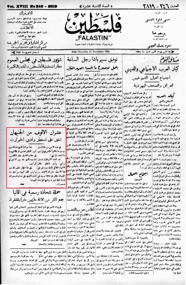
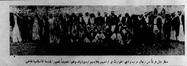
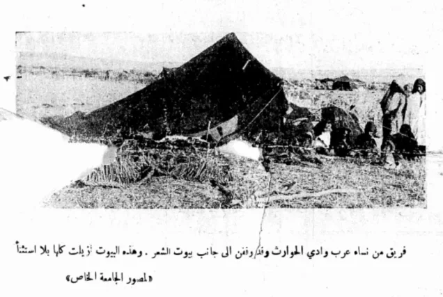
Until 1929, the inhabitants of Wadi al-Hawarith cultivated extensive tracts of land as tenant farmers, and their livelihoods depended on farming and pastoral activity. In that year, they entered into a prolonged conflict with the Jewish National Fund after ownership of a large part of the land passed to it from absentee owners.
According to Walid Khalidi's account, a large tract in Wadi al-Hawarith measuring approximately 30,000 dunums belonged to the family of Antun Bishara al-Tayyan. Khalidi states that al-Tayyan had mortgaged the land during the Ottoman period to a French citizen named Henri Estragon, and that his thirteen heirs later decided to sell it in order to settle the debt.
In November 1928, a representative of the Jewish National Fund reached an agreement with the heirs to acquire the land through a court-supervised public auction held on 20 April 1929. The auction price was 41,000 Palestinian pounds, while the source states that the amount ultimately paid by the Jewish National Fund to the heirs was approximately 136,000 Egyptian pounds.
On 6 September 1930, the court ordered the tenants of Wadi al-Hawarith to leave the land. The inhabitants refused the eviction order and continued their resistance through the courts and other means. In December 1932, the Supreme Court ruled in favor of the Jewish National Fund after the tenants had exhausted their available legal appeals.
The inhabitants also attempted to prevent the establishment of Zionist settlements on the transferred land. By 1931, the Jewish National Fund had planted approximately 43,000 trees in the area. The British Mandate authorities offered the tenants resettlement in other parts of Palestine, but they rejected those proposals.
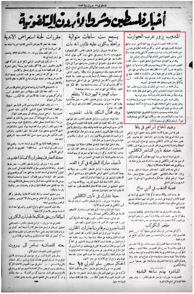
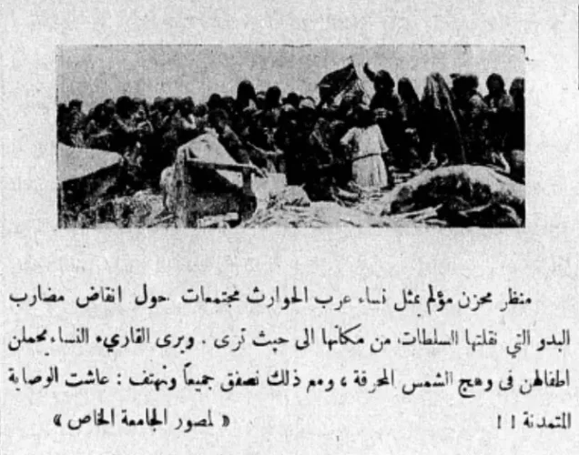
In June 1933, inhabitants living in the section planted by the Jewish National Fund, known at the time as the disputed area, were expelled. Some temporarily moved to nearby Palestinian villages, while others remained in the vicinity of the wadi. By 1935, those who remained had built twenty-three houses.
During the 1930s, the Wadi al-Hawarith case became one of the most prominent Palestinian land disputes and a symbol of Palestinian concerns over land loss and the displacement of tenant farmers.
Occupation of Wadi al-Hawarith and the Displacement of Its Inhabitants During the Nakba
During the Nakba and the occupation of Palestine in 1948, the inhabitants of Wadi al-Hawarith were subjected to military and psychological pressure that preceded the displacement of most of the population. Walid Khalidi's account, citing Israeli historian Benny Morris, states that Wadi al-Hawarith was subjected to psychological warfare intended to induce the inhabitants to leave, followed by an attack carried out by Haganah forces.
According to this account, the combined effects of psychological pressure and military action contributed to the departure of the inhabitants, which the source dates to 15 March 1948. Haganah activities in the area were coordinated with other operations conducted in late 1947 and early 1948 with the objective of emptying the coastal plain north of Tel Aviv of its Arab population.
Palestine Remembered refers to this wider campaign as “Coastal Clearing.” However, the text of All That Remains published by PalQuest does not clearly present this phrase as the formal title of a single military operation, but rather describes a coordinated series of operations along the coast. “Coastal Clearing” should therefore be treated as a designation used by some sources rather than as a universally established operation name.
The principal sources used here do not identify a specific brigade as responsible for the 15 March attack. The most securely documented military force is therefore the Haganah, without attribution to a particular brigade.
The destruction of Wadi al-Hawarith did not end on 15 March. In late April and early May 1948, the Haganah, assisted by inhabitants of neighboring Zionist settlements, destroyed houses in Wadi al-Hawarith and nearby Palestinian villages, making the return of displaced inhabitants to their homes effectively impossible.
Although the overwhelming majority of the village population was displaced, Walid Khalidi's description of the site records that the Abu Issa al-Hajabi family remained in Wadi al-Hawarith al-Shamaliyya after 1948. It is therefore inaccurate to state that every inhabitant left the village.
Occupation and Depopulation Chronology
- 6 September 1930
Court order evicting the tenants
The court ordered the tenants of Wadi al-Hawarith to leave the land that the Jewish National Fund had bought at a court-sponsored auction on 20 April 1929 from the heirs of its absentee owner, Antun Bishara al-Tayyan. The villagers refused and resisted the order until the legal channels were exhausted by the High Court's verdict in favour of the Fund in December 1932.
- June 1933
Expulsion of the inhabitants from the 'disputed area'
Those living in the area where the Jewish National Fund had planted trees were expelled, and their tribal structure dissolved; some moved elsewhere, while others stayed in the vicinity and had built twenty-three houses by 1935, according to Khalidi.
- 1934
Settlement on village lands
Zionists established the settlement of Kefar ha-Ro'e on village lands.
- 1947
Settlement on village lands
The settlement of Ge'uley Teyman was built on what had been village lands.
- Shortly before 15 March 1948
Psychological warfare followed by a Haganah attack
The village faced a psychological warfare operation designed to induce the residents to leave and was then attacked by the Haganah, in an operation coordinated with similar operations in late 1947 and early 1948 designed to clear the coastal plain north of Tel Aviv of its Arab inhabitants, according to Khalidi.
- 15 March 1948
Depopulation of the village
The combined effect of physical and psychological warfare led to the departure of the residents, according to Morris as cited by Khalidi. Khalidi notes that this casts doubt on the History of the Haganah's claim that the evacuation of the area was 'organized by the Arab leadership'.
- End of April – early May 1948
Destruction of the village
The Haganah, assisted by neighbouring settlements, destroyed the houses of this and neighbouring villages, rendering a return 'all but impossible', in Morris's words as cited by Khalidi.
Zionist Settlements Established on the Lands of Wadi al-Hawarith
Kfar Haroeh was established on the lands of Wadi al-Hawarith in 1934, while Ge'ulei Teiman was established in 1947 on land considered part of the village.
Kfar Vitkin, founded in 1933, was situated south of the lands belonging to Wadi al-Hawarith and, according to Khalidi, was not established on the village's own lands. The same applies to Ma'barot, founded in 1933 southwest of the southern section, and Mikhmoret, located west of the northern section. Khalidi identifies both as nearby settlements rather than settlements built on village land.
- Kfar Haroeh: established in 1934 on the lands of Wadi al-Hawarith.
- Ge'ulei Teiman: established in 1947 on land considered part of Wadi al-Hawarith.
- Kfar Vitkin: established in 1933 south of the village lands and, according to the source, not on Wadi al-Hawarith land.
- Ma'barot and Mikhmoret: nearby settlements that Walid Khalidi states were not established on the lands of the village.
Wadi al-Hawarith After the Nakba and the Village Site
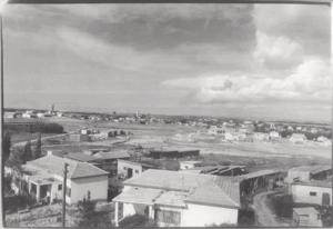
According to the field description published by Walid Khalidi in All That Remains, the Abu Issa al-Hajabi family remained in Wadi al-Hawarith al-Shamaliyya after 1948. At the time the site was documented, members of the family owned ten houses in the area, with Ge'ulei Teiman located to the south.
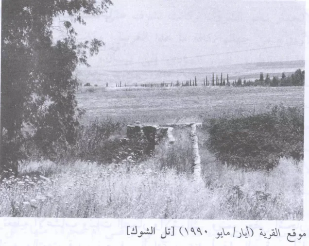
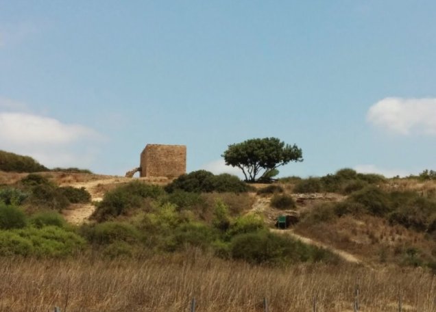
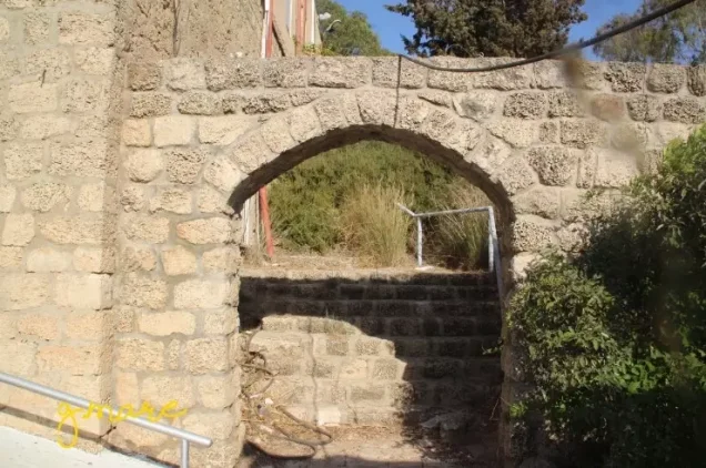
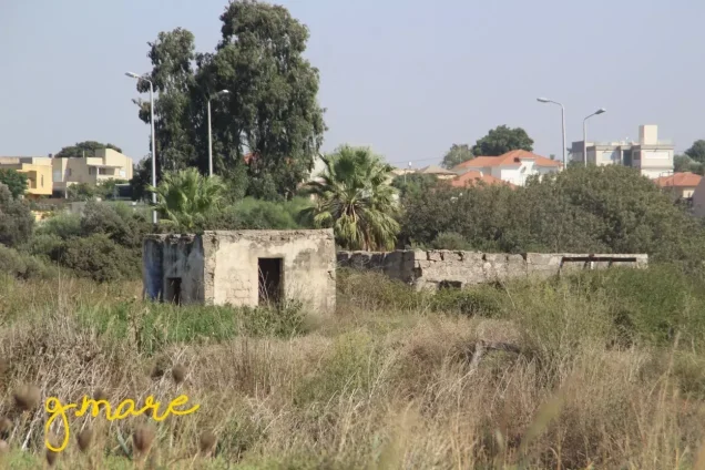
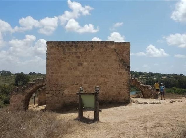
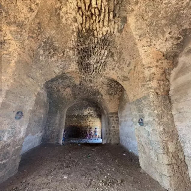
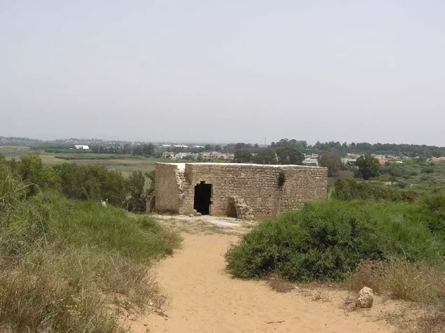
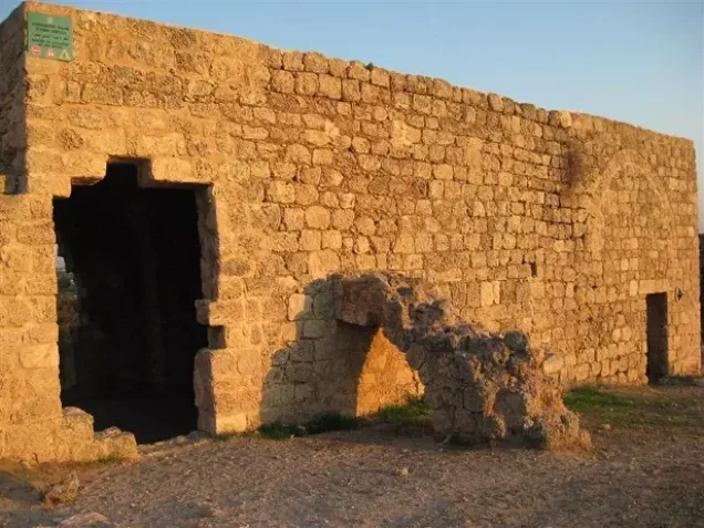
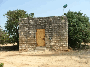
At the site of Wadi al-Hawarith al-Qibliyya, Khalidi recorded that four village houses had survived destruction and that an Israeli family was living in one of them at the time of documentation.
It should be noted that PalQuest's description of the village site is based largely on the fieldwork conducted for Walid Khalidi's book and does not necessarily constitute a field survey updated to the present day.
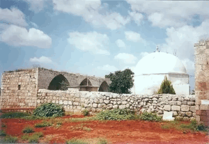
Regarding the village mosque, Palestine Remembered reports that it was demolished on 3 February 2000 and attributes the act to an unidentified Jewish person or persons. The sources used here do not provide sufficient evidence to add more specific information about those responsible.
Sources
- PalQuestPalQuest – Interactive Encyclopedia of the Palestine Question: Wadi al-Hawarith
- Institute for Palestine StudiesInstitute for Palestine Studies: Walid Khalidi, All That Remains: The Palestinian Villages Occupied and Depopulated by Israel in 1948
- Palestine RememberedPalestine Remembered: Wadi al-Hawarith – Tulkarm District
- maktabatsabil.comSami Hadawi: Village Statistics of 1945, based on Government of Palestine statistics
- commons.wikimedia.orgGovernment of Palestine: Village Statistics, April 1945 – scanned copy of the original document
Photo gallery
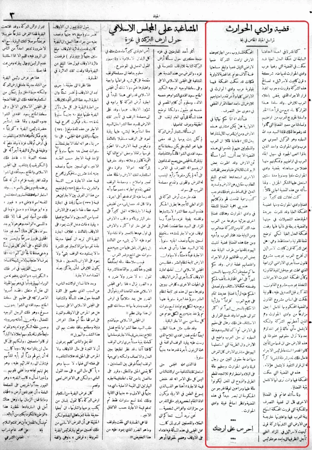
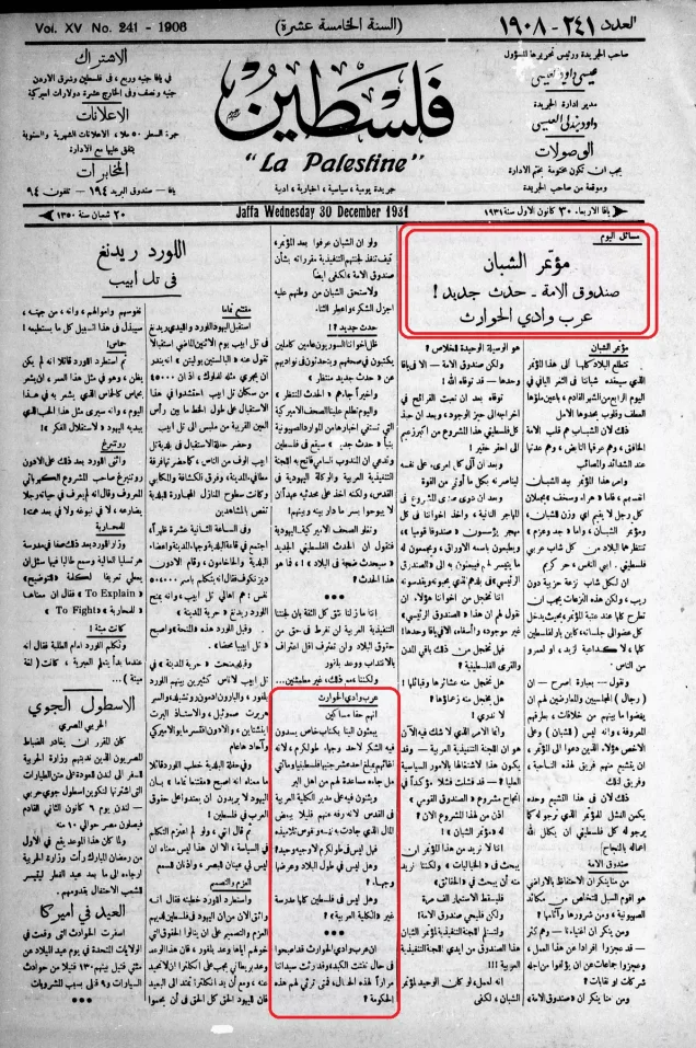
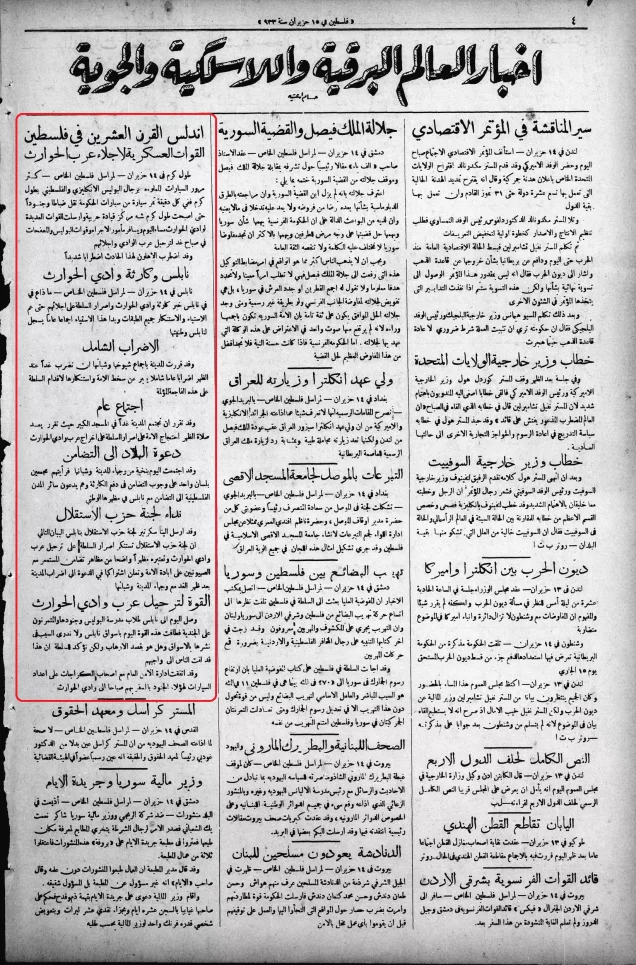
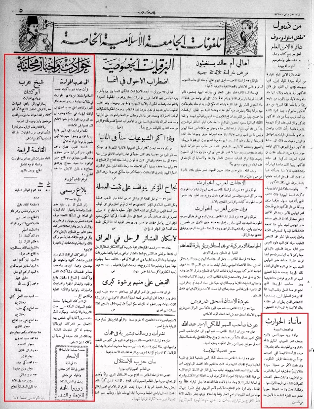

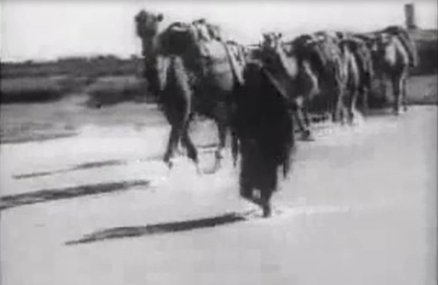
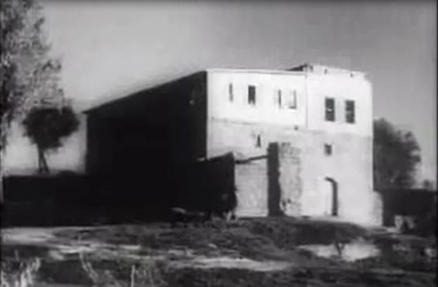
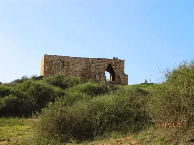
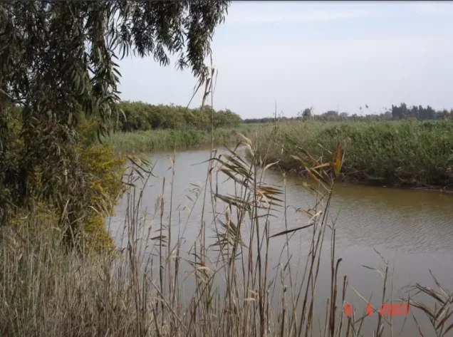
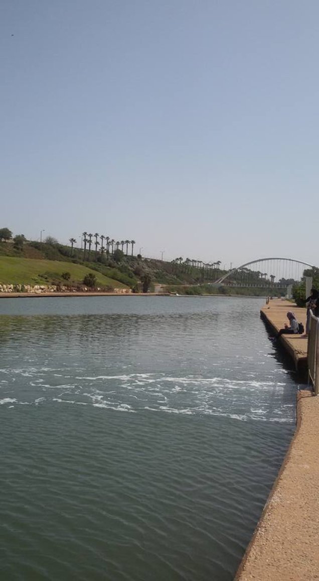
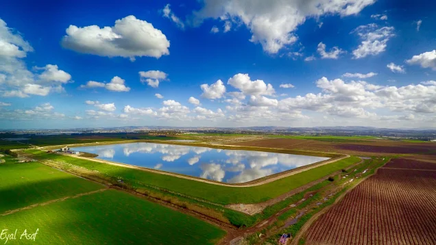
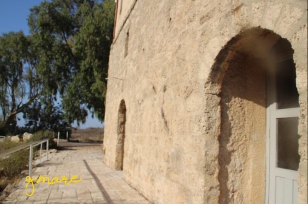
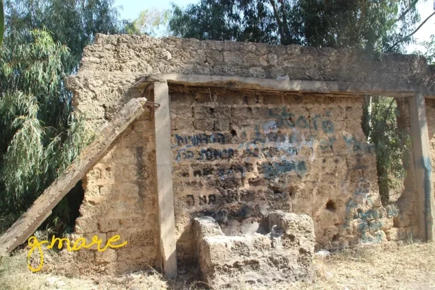

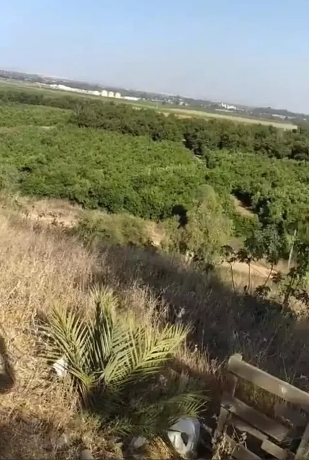
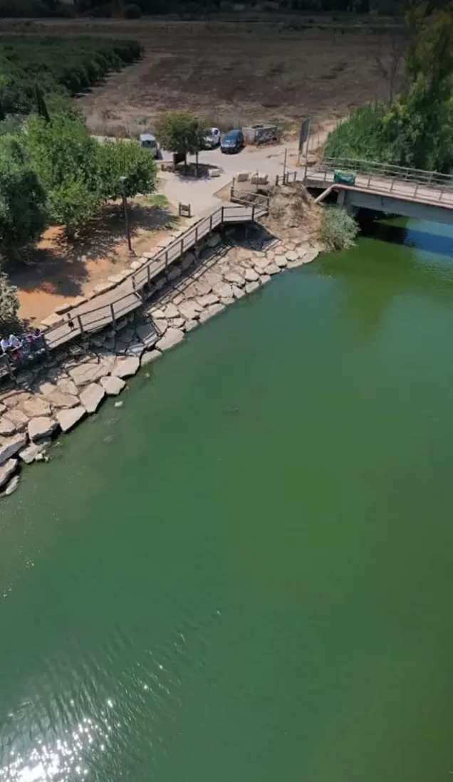

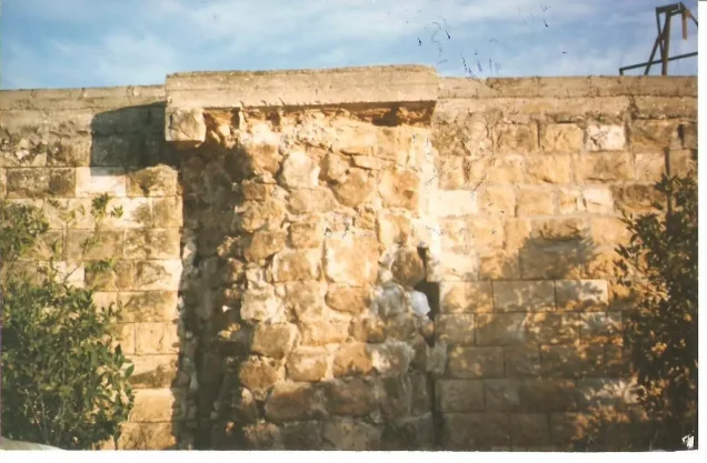
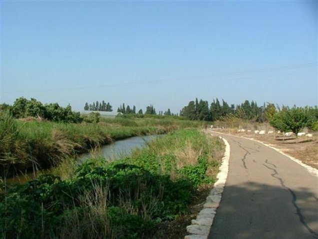
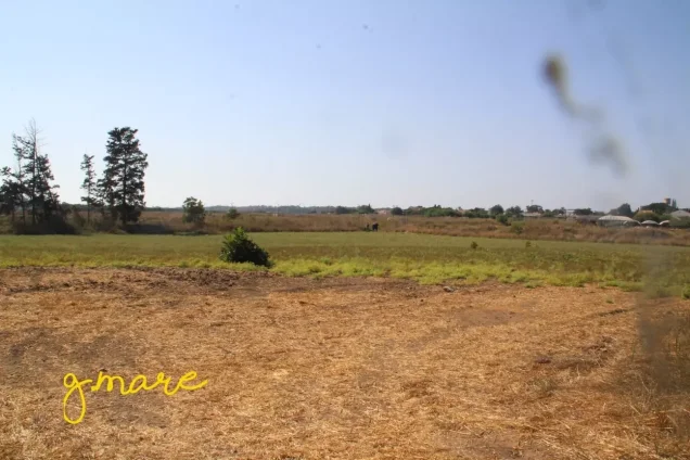
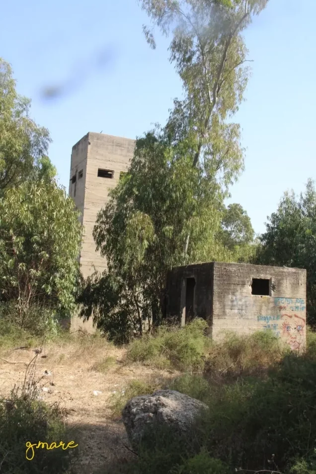
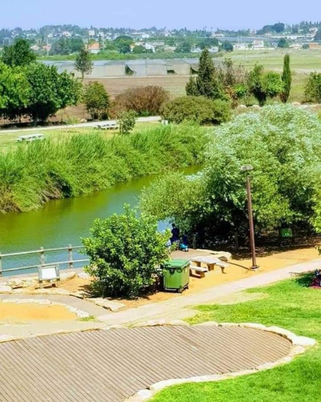
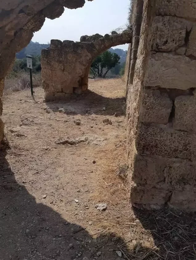

Photos from the village's people
Photos sent in by visitors and published after review.
Add a photo of this village
Log in to add photos of this village.
Other villages from Tulkarm
More from the archive
 Download Our Palestine App
The whole archive in the palm of your hand: depopulated villages, the Nakba, the massacres and Al-Aqsa — free, with no ads to erase the story.
Download Our Palestine App
The whole archive in the palm of your hand: depopulated villages, the Nakba, the massacres and Al-Aqsa — free, with no ads to erase the story.



Comments
No comments yet — be the first to write one.
Add your comment
Name and email are optional. Comments appear after review.