
The depopulated village of Dayr Tarif / District of Ramla
Subdistrict: Ramla Subdistrict
Estimated population of Dayr Tarif in 1948: Approximately 2,030 Palestinians
Occupation and depopulation: Dayr Tarif was attacked and occupied in stages during Operation Dani between 9 and 13 July 1948. The main displacement of its residents occurred around 10 July.
Military operation and units: Operation Dani; units of the Eighth Armored Brigade, including its Ninth Commando Battalion, and an infantry battalion of the Kiryati Brigade
Israeli settlements established on Dayr Tarif’s lands before 1948: None
Israeli settlements established on the village site or lands after 1948: Beit Arif, established on the village ruins in 1949. Some local maps also associate part of Tirat Yehuda with Dayr Tarif’s former lands, although this attribution requires further cadastral verification.
Dayr Tarif was a Palestinian village in the Ramla Subdistrict. It stood on the eastern edge of the coastal plain, approximately 10 kilometres northeast of al-Ramla, about 7 kilometres from al-Lydd and nearly 3 kilometres east of al-Lydd Airport. The village was situated west of Bayt Nabala.
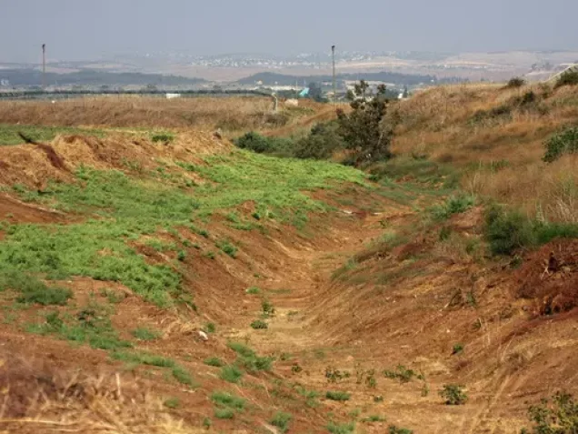
Dayr Tarif occupied uneven terrain at the edge of the coastal plain. It lay beside a main road leading north towards Tulkarm, while a wider network of roads connected it with surrounding Palestinian villages and nearby urban centres. The village also had access to the principal northeast–southwest railway line.
In the late nineteenth century, Dayr Tarif was described as a small hamlet at the edge of a plain. Residential construction accelerated during the later years of the British Mandate, particularly in the eastern half of the village.
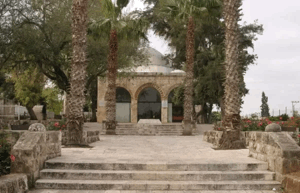
The population was predominantly Muslim. Dayr Tarif had a mosque, several shops and an elementary school established in 1920. Historically, its residents paid taxes on wheat, barley, sesame, fruit and other agricultural produce, as well as goats, beehives and vineyards.
Boundaries and Neighbouring Villages
Dayr Tarif was surrounded by the following Palestinian villages and towns:
- North: al-Tira (Tirat Dandan).
- Northwest: al-Abbasiyya, formerly known as al-Yahudiyya.
- West: al-Safiriyya.
- Southwest: al-Lydd.
- South: al-Haditha.
- Southeast: Budrus.
- East: Bayt Nabala.
- Northeast: Rantis.

Architectural Character of Dayr Tarif
In the late nineteenth century, Dayr Tarif was a small hamlet situated at the edge of a plain. Its plan was broadly trapezoidal and consisted of eastern and western sections separated by an area of vacant land.
Most village houses were constructed of adobe brick. Residential development accelerated towards the end of the British Mandate, especially in the eastern section of Dayr Tarif.
Land and Agriculture in Dayr Tarif
Dayr Tarif had a total land area of 8,756 dunams. According to the British Mandate’s 1945 Village Statistics, 8,338 dunams were under Palestinian ownership and 418 dunams were classified as public land. No land in the village was recorded under Jewish ownership.
Agriculture was both rainfed and irrigated. Irrigation water was drawn from several artesian wells drilled on the southern and northwestern sides of the village.
In 1944/45, 1,410 dunams were devoted to citrus and banana cultivation, 5,981 dunams of Palestinian-owned land were allocated to cereal cultivation, and 486 dunams were irrigated or used for orchards.
Some statistical compilations report that approximately 714 dunams were planted with olive trees. This was a crop-specific figure that overlapped with the broader agricultural classifications and should not be added separately to the village’s total cultivated area.
Land Ownership in Dayr Tarif, 1944/45
| Ownership category | Area (dunams)* |
|---|---|
| Palestinian ownership | 8,338 |
| Jewish ownership | 0 |
| Public land | 418 |
| Total | 8,756 |
* One dunam equals approximately 1,000 square metres.
Land Use in Dayr Tarif, 1944/45
| Land-use category | Palestinian ownership (dunams)* | Jewish ownership (dunams)* | Public land (dunams)* | Total (dunams)* |
|---|---|---|---|---|
| Citrus and banana cultivation | 1,410 | 0 | 0 | 1,410 |
| Irrigated land and orchards | 486 | 0 | 0 | 486 |
| Olive cultivation | Approximately 714 | 0 | 0 | Approximately 714 |
| Cereal cultivation | 5,981 | 0 | 8 | 5,989 |
| Built-up area | 51 | 0 | 0 | 51 |
| Cultivable land | 7,877 | 0 | 8 | 7,885 |
| Uncultivated land | 410 | 0 | 410 | 820 |
* One dunam equals approximately 1,000 square metres.
Population of Dayr Tarif
The British Mandate census of 1922 recorded 836 residents in Dayr Tarif, all of whom were Muslims. By 1931, the population had increased to 1,246—615 males and 631 females—living in 291 houses. The official 1945 Village Statistics recorded 1,750 Palestinian residents.
The village’s population immediately before its depopulation in 1948 has been retrospectively estimated at approximately 2,030. Since this figure was projected from earlier demographic data rather than produced by a new official census, it should be treated as an estimate.
Palestine Remembered estimated the number of refugees from Dayr Tarif and their descendants at approximately 12,466 in 1998. This was a retrospective demographic estimate rather than a census of a single resident population.
Historical Population of Dayr Tarif
| Year | Recorded or estimated population | Notes |
|---|---|---|
| 1596 | Approximately 270 | Estimated from 49 Muslim households recorded in Ottoman tax registers. |
| 1922 | 836 | Recorded in the British Mandate census; all residents were Muslims. |
| 1931 | 1,246 | The census recorded 615 males and 631 females living in 291 houses. |
| 1945 | 1,750 | Recorded in the British Mandate’s Village Statistics. |
| 1948 | Approximately 2,030 | Projected estimate rather than a new official census. |
| 1998 | Approximately 12,466 refugees and descendants | A retrospective estimate published by Palestine Remembered. |
Number of Houses in Dayr Tarif
| Year | Number of houses | Status of figure |
|---|---|---|
| 1931 | 291 | Recorded in the British Mandate census. |
| 1948 | Approximately 474 | Later estimate; no comparable official village housing census was conducted in 1948. |
Education in Dayr Tarif
Dayr Tarif’s elementary school was established in 1920 with one teacher. By the 1947/48 school year, it reportedly employed four teachers, three of whose salaries were paid by the village. The school had 171 pupils and a library containing 232 books.
Local educational records also reported that approximately 290 men in Dayr Tarif were able to read and write. The enrolment total is documented in Walid Khalidi’s village survey, while the more detailed staffing, library and literacy figures derive from local Palestinian historical records and compilations.
Archaeological Remains in Dayr Tarif
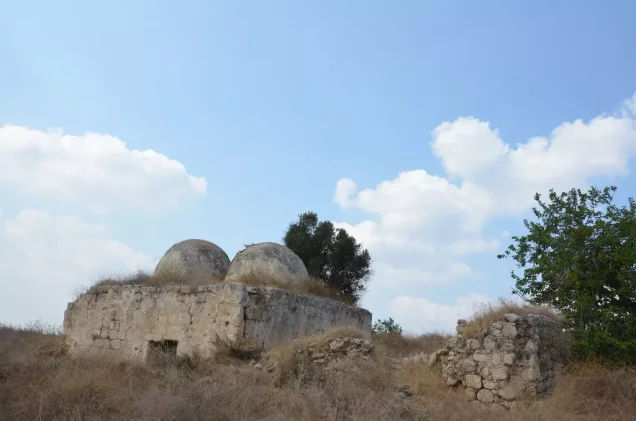
Dayr Tarif was built on a mound covering an ancient site identified with Roman-period Bethariph. Archaeological remains reported in and around the village included traces of earlier buildings, ancient artefacts, arches, architectural fragments and pottery sherds.
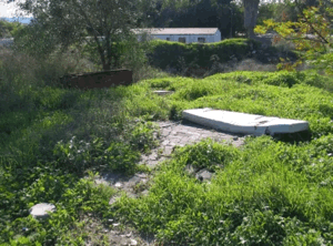
Local archaeological descriptions also record a winepress, a stone sarcophagus, burial sites, caves and a rock-cut cistern. Although the identification with Bethariph and the existence of earlier structural remains are documented, inventories of the individual archaeological features vary between sources.
Occupation and Depopulation of Dayr Tarif
The first documented attack on Dayr Tarif occurred on 14 April 1948. The Palestinian newspaper Filastin reported that a Zionist aircraft bombed the village, wounding five residents, including a two-year-old child.
Dayr Tarif was later attacked during Operation Dani, which began on 9 July 1948. The operation’s first phase sought to occupy al-Lydd and al-Ramla and expand the territory under Israeli control along the corridor leading towards al-Quds (Jerusalem).
According to the account compiled by the Palestinian academic resource PalQuest, units of the Eighth Armored Brigade and an infantry battalion of the Kiryati Brigade entered Dayr Tarif on 9 July. They were subsequently forced to withdraw following a counterattack by the Transjordanian Arab Legion.
PalQuest places the principal displacement of the villagers around 10 July. A contemporary report published by The New York Times also stated that Israeli forces entered the village late that afternoon while fighting continued in the surrounding area.
On 11 July, the Ninth Commando Battalion of the Eighth Armored Brigade occupied positions around Dayr Tarif and pushed the Arab Legion defenders towards Budrus. The village was temporarily bypassed before further military operations connected with the attacks on al-Lydd and al-Ramla.
Fighting continued around Dayr Tarif and neighbouring Bayt Nabala. The Palestinian academic account indicates that Dayr Tarif was conclusively under Israeli control by 13 July. The evidence therefore does not support 12 July as the village’s sole and undisputed occupation date. Its occupation unfolded in stages between 9 and 13 July, while the main displacement of its Palestinian population occurred around 10 July.
Israeli Settlements on the Lands of Dayr Tarif
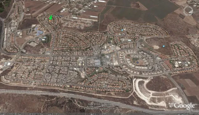
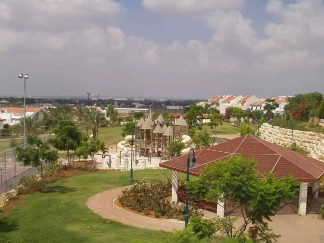
Beit Arif was established in 1949 on the ruins of Dayr Tarif. It is the Israeli settlement most clearly documented by Walid Khalidi and PalQuest as having been established directly on the village site.
Some local Palestinian maps and later accounts associate part of Tirat Yehuda with Dayr Tarif’s former lands. This association is not recorded in Khalidi’s principal village survey and therefore requires additional verification through historical cadastral maps.
Kfar Truman lies southwest of the former village site, but the Palestinian academic sources consulted indicate that it was not established on Dayr Tarif’s recorded village lands.
Dayr Tarif Today
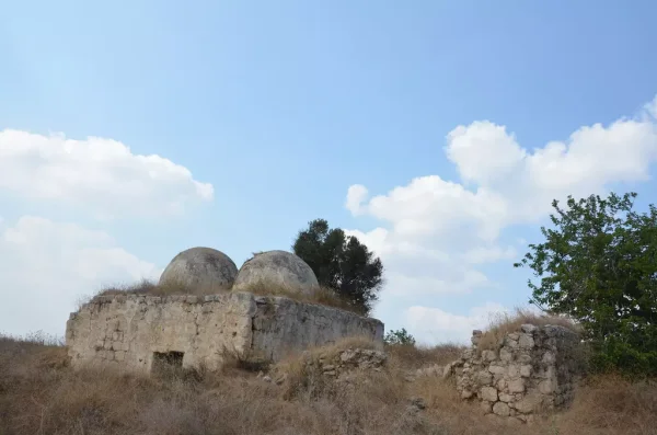
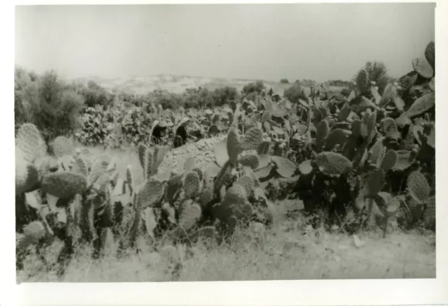
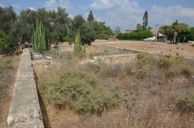
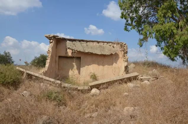
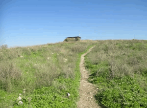
The site is covered with rubble from the village’s destroyed houses and has become overgrown with thorns and other wild vegetation. Several old olive and cypress trees remain scattered across the land.
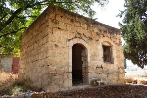
The former school building survived the village’s destruction and was later reported to be in use as a stable. Cotton and citrus crops have been cultivated by Israelis on the surrounding Palestinian village lands.
Sources
- Interactive Encyclopedia of the Palestine Question (PalQuest), “Dayr Tarif”.
- Interactive Encyclopedia of the Palestine Question (PalQuest), “Operation Dani”.
- Palestine Remembered, “Dayr Tarif—al-Ramla”.
- Our Palestine, “Village of Dayr Tarif”.
- Walid Khalidi, ed., All That Remains: The Palestinian Villages Occupied and Depopulated by Israel in 1948, Institute for Palestine Studies, 1992, pp. 378–379.
- Government of Palestine, Census of Palestine, 1922.
- Government of Palestine, Census of Palestine, 1931.
- Government of Palestine, Department of Statistics, Village Statistics, April 1945.
- Filastin newspaper, 15 April 1948.
- The New York Times, contemporary reports published in July 1948.
Photo gallery
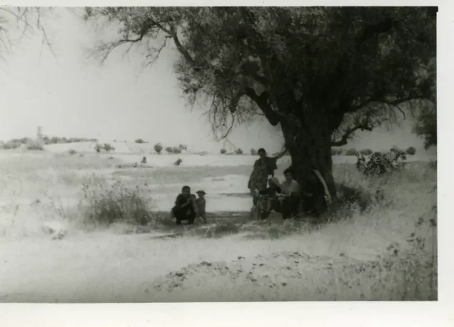
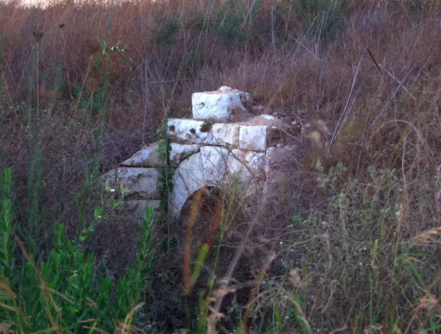
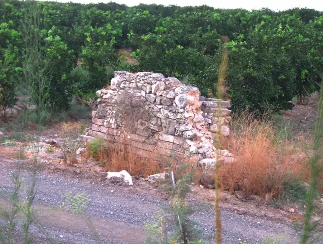
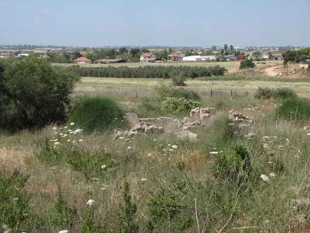
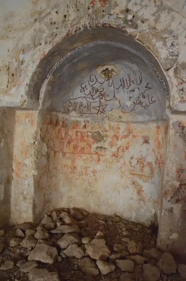


Photos from the village's people
Photos sent in by visitors and published after review.
Add a photo of this village
Log in to add photos of this village.
 Download Our Palestine App
The whole archive in the palm of your hand: depopulated villages, the Nakba, the massacres and Al-Aqsa — free, with no ads to erase the story.
Download Our Palestine App
The whole archive in the palm of your hand: depopulated villages, the Nakba, the massacres and Al-Aqsa — free, with no ads to erase the story.



Comments
No comments yet — be the first to write one.
Add your comment
Name and email are optional. Comments appear after review.