
The depopulated village of Salbit / District of Ramla
Subdistrict: Ramla
Estimated population of Salbit in 1948: 592
Date of occupation and depopulation: 15 July 1948; military operations continued into 16 July
Military unit: Second Battalion of the Kiryati Brigade
Israeli settlements established on Salbit’s lands before 1948: None
Israeli settlements established on the village site after 1948: None
Salbit was located approximately 12 kilometres southeast of Ramla.
Salbit was a depopulated Palestinian village in the Ramla Subdistrict. During the Nakba, Israeli forces occupied the village, displaced its Palestinian inhabitants, and subsequently destroyed its buildings. In 1951, the Israeli kibbutz of Sha‘alvim was established on the village’s lands, although not directly on its built-up site.
Salbit stood on a hill of soft white limestone along the western edge of the Jerusalem–Hebron highlands. A secondary road located approximately 3 kilometres northwest of the village connected it to the main Ramla–Jerusalem road. Unpaved roads also linked Salbit to the surrounding villages.
Boundaries of Salbit
Salbit was situated among the following villages and localities:
- North: Bayt Shanna.
- Northwest: al-Kunayyisa.
- West: al-Qubab.
- Southwest: al-Khalayil.
- South: Imwas.
- Southeast: Yalu.
- East: Khirbat al-Buwayra.
- Northeast: Bir Ma‘in.
Architectural Structure of Salbit
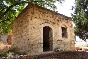
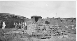
The village’s mud-and-stone houses were clustered around its centre, where the mosque, marketplace, and elementary school were located. The school was established in 1947 and enrolled forty-five pupils.
Education in Salbit
Salbit had an elementary school established in 1947. Historical records indicate that forty-five pupils attended the school.
Land Ownership in Salbit
| Ownership category | Land area (dunums)* |
|---|---|
| Palestinian ownership | 6,105 |
| Jewish ownership | 0 |
| Public land | 6 |
| Total | 6,111 |
* One dunam equals approximately 1,000 square metres.
Land Use in 1944–1945
| Land-use category | Area (dunums)* |
|---|---|
| Irrigated land and orchards | 16 |
| Cereal cultivation | 4,066 |
| Built-up area | 31 |
| Total cultivable land | 4,082 |
| Uncultivated land | 1,998 |
* One dunam equals approximately 1,000 square metres.
Population of Salbit
| Year | Population* |
|---|---|
| 1922 | 296 |
| 1931 | 406 |
| 1944–1945 | 510 |
| 1948 | 592 (estimated) |
| Estimated number of Palestinian refugees descended from the village population in 1998 | 3,633 |
* The 1931 population figure includes Bayt Shanna. The 1948 and 1998 figures are demographic estimates rather than contemporary census counts.
Occupation and Depopulation of Salbit
Israeli forces entered Salbit on 15 July 1948 during the second phase of Operation Dani, shortly after the occupation of Lydda and Ramla and the expulsion of their Palestinian inhabitants. Israeli military operations in and around Salbit continued on 16 July, when the Arab Legion attempted to regain control of Salbit and other nearby villages. The Second Battalion of the Kiryati Brigade had been assigned to occupy Salbit, through which the Arab Legion’s front line passed. Available historical accounts provide no detailed record of what occurred inside the village or of the precise circumstances under which its inhabitants were displaced.
Israeli Settlements on Salbit’s Lands
The Israeli kibbutz of Sha‘alvim was established on Salbit’s lands in 1951. Sources distinguish between the village’s wider lands and its former built-up site; no Israeli settlement was established directly on the village site.
Salbit Today
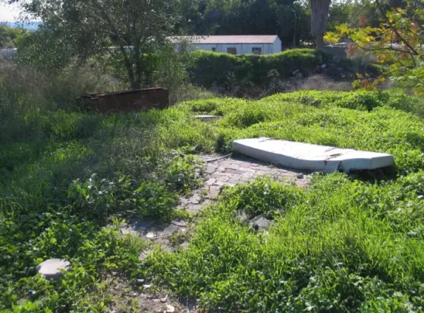
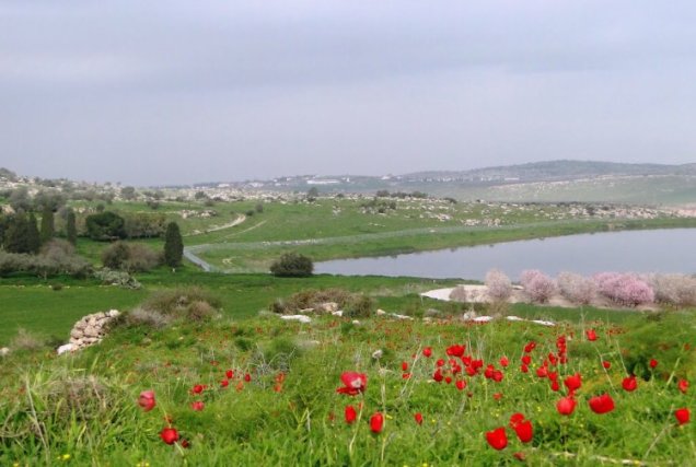
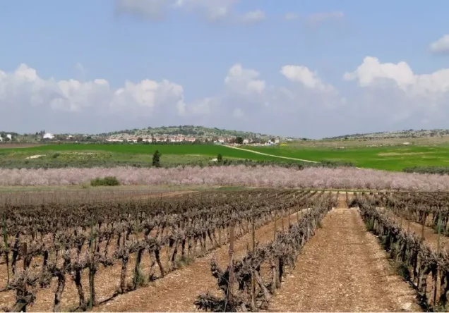
Only scattered shrubs and cactus plants remain at the village site. The site is used for livestock grazing, while surrounding lands are cultivated by Israelis.
Sources and References
- Interactive Encyclopedia of the Palestine Question (PalQuest), “Salbit” .
- Interactive Encyclopedia of the Palestine Question (PalQuest), “Operation Dani” .
- Walid Khalidi (ed.), All That Remains: The Palestinian Villages Occupied and Depopulated by Israel in 1948, Institute for Palestine Studies, 1992.
Photo gallery


Photos from the village's people
Photos sent in by visitors and published after review.
Add a photo of this village
Log in to add photos of this village.
Other villages from Ramla
 Download Our Palestine App
The whole archive in the palm of your hand: depopulated villages, the Nakba, the massacres and Al-Aqsa — free, with no ads to erase the story.
Download Our Palestine App
The whole archive in the palm of your hand: depopulated villages, the Nakba, the massacres and Al-Aqsa — free, with no ads to erase the story.



Comments
No comments yet — be the first to write one.
Add your comment
Name and email are optional. Comments appear after review.