
The depopulated village of Sarafand Al-Amar / District of Ramla

Subdistrict: Ramla
Estimated population of Sarafand al-‘Amar in 1948: approximately 2,262
Date of occupation and depopulation: Night of 19–20 May 1948
Military operation: Operation Barak
Military unit: Second Battalion of the Giv‘ati Brigade
Israeli settlements established on the village’s lands before 1948: None
Israeli settlements and facilities established on the village site or its lands after 1948: Tzerifin and Nir Tzevi. Available academic sources do not identify Shikun ha-Mizrah as having been established on the village’s registered lands.
Sarafand al-‘Amar was a Palestinian village situated on the central coastal plain, approximately 5 kilometres northwest of al-Ramla. In 1945, it had a population of 1,950 and a total land area of 13,267 dunams. Its Palestinian inhabitants were displaced during the 1948 Nakba.
The village stood on level ground west of the main road connecting al-Ramla and Yafa. It was also known as Sarafand al-Kubra, meaning “the larger Sarafand,” to distinguish it from Sarafand al-Sughra, or Sarafand al-Kharab, approximately 5 kilometres to the southwest.
During the British Mandate, the British authorities established a major military base near the village, described by PalQuest as Britain’s largest military base in the Middle East at the time. A prison for Palestinian political activists was also constructed beside the base.
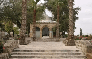
Sarafand al-‘Amar contained a popular shrine dedicated to Luqman al-Hakim. Its population included Muslims and Christians, and the village had two elementary schools, a public hospital, the al-Raja’ Orphanage, and an agricultural research station.
Boundaries of Sarafand al-‘Amar
Sarafand al-‘Amar lay among the following Palestinian villages, cities, and localities:
- North: al-Safiriyya.
- Northwest: Bayt Dajan.
- West: Jewish settlements and the lands adjoining Rishon le-Tziyyon.
- Southwest: Sarafand al-Kharab.
- South: Abu al-Fadl, also known as al-Satariyya.
- Southeast: al-Ramla.
- East and northeast: al-Lydd.
Attacks on Sarafand al-‘Amar in 1948
On the morning of 2 January 1948, Palestinian Arab workers at the large British military camp in Sarafand discovered twelve timed explosive charges. They were reportedly set to detonate at noon, when the workers would have assembled to collect their weekly wages.
The Palestinian newspaper Filastin reported that none of the Jewish workers employed at the camp had reported for work that day. The newspaper interpreted their absence as evidence that they had been warned by the Zionist group responsible for placing the explosives. The intended timing and discovery of the devices are documented, but responsibility should be presented as the newspaper’s attribution rather than as an independently established judicial finding.
A locally reproduced account states that, on the afternoon of 19 January 1948, three people travelling in a Jewish-owned car opened fire on an Arab café in Sarafand, killing one man and wounding six others. This incident appears in Palestinian local-history sources, but it is not described in the principal PalQuest entry and should therefore be attributed rather than presented without qualification.
On 15 April 1948, a Haganah demolition unit raided Sarafand al-‘Amar and destroyed a three-storey building. British authorities reported that 16 people were killed and 12 wounded in the ruins. The attackers claimed that the building had been used by forces under Shaykh Hasan Salama and gave a higher death toll of 39. Estimates vary between sources, and the British casualty figures are used here as the more independently documented contemporary count.
Education in Sarafand al-‘Amar
The village had two elementary schools, one for boys and another for girls. The boys’ school was founded in 1921 and became a full elementary school during the 1946/47 academic year. At that time, it had 292 pupils and possessed 14 dunams of land used for agricultural training.
The girls’ school opened in 1947 and enrolled 50 pupils. The al-Raja’ Orphanage, established for children whose parents had been killed during the Great Palestinian Revolt of 1936–1939, stood beside it. A public hospital and an agricultural station were also located in the same area.
Economic Life in Sarafand al-‘Amar
Agriculture was the village’s principal economic activity, and citrus fruit was its most important commercial crop. In 1944/45, 3,509 dunams were devoted to citrus and bananas, 4,012 dunams to cereal cultivation, and 1,665 dunams were irrigated or used for orchards.
The orchards were irrigated with water drawn from artesian wells, while most other crops depended on rainfall. Artesian wells also supplied the inhabitants with drinking water.
Land Ownership in Sarafand al-‘Amar, 1944/45
| Ownership category | Area in dunams |
|---|---|
| Palestinian ownership | 9,223 |
| Jewish ownership | 761 |
| Public land | 3,283 |
| Total | 13,267 |
* One dunam equals approximately 1,000 square metres.
Land Use in Sarafand al-‘Amar, 1944/45
| Land-use category | Palestinian ownership (dunams) | Jewish ownership (dunams) | Public land (dunams) | Total (dunams) |
|---|---|---|---|---|
| Citrus and banana cultivation | 3,509 | 261 | 0 | 3,770 |
| Irrigated land and orchards | 1,665 | 0 | 0 | 1,665 |
| Olive groves* | 120 | 0 | 0 | 120 |
| Cereal cultivation | 4,012 | 500 | 2,718 | 7,230 |
| Built-up area | 36 | 0 | 0 | 36 |
| Cultivable land | 9,186 | 761 | 2,718 | 12,665 |
| Uncultivated land, excluding the built-up area | 1 | 0 | 565 | 566 |
* One dunam equals approximately 1,000 square metres. The olive-grove figure represents a subsidiary crop category and should not be added separately to the total cultivable area.
Population of Sarafand al-‘Amar
| Year | Population | Notes |
|---|---|---|
| 1596 | Approximately 358 | Estimate derived from Ottoman tax records |
| 1922 | 862 | 861 Muslims and one Jewish resident |
| 1931 | 1,183 | 1,164 Muslims and 19 Christians |
| 1945 | 1,950 | 1,910 Muslims and 40 Christians |
| 1948 | Approximately 2,262 | Later demographic estimate, sometimes rounded to 2,260 |
| Estimated registered refugee population, 1998 | 13,891 | Later estimate including descendants |
* The 1948 and 1998 figures are demographic estimates rather than contemporary official censuses.
Number of Houses in Sarafand al-‘Amar
| Year | Number of houses | Statistical status |
|---|---|---|
| 1931 | 265 | Occupied houses recorded by the census |
| 1948 | Approximately 506 | Later estimate |
Occupation and Depopulation of Sarafand al-‘Amar
As British forces withdrew from Palestine in mid-May 1948, the former British military camp, which covered approximately 500 acres, was handed over to a small Palestinian Arab force on 14 May.
Five days later, Israeli forces launched a two-pronged attack against the camp from the southeast and north. The account published in The History of the War of Independence states that the Palestinian defensive formation had been prepared primarily for an attack from the west, in the direction of Rishon le-Tziyyon.
Sarafand al-‘Amar was probably occupied during the night of 19–20 May 1948 by the Second Battalion of the Giv‘ati Brigade. Its occupation took place within the framework of Operation Barak, the brigade’s May offensive in the al-Ramla area.
The surviving evidence does not establish conclusively whether all the residents fled during the assault or whether some were expelled. Walid Khalidi’s account therefore states that the inhabitants probably fled or were evicted at approximately the same time.
Israeli Settlements and Facilities on the Lands of Sarafand al-‘Amar
- Tzerifin was established in 1949 on the ruins of Sarafand al-‘Amar and incorporated the former British military camp.
- Nir Tzevi was established on village land in 1954.
- Talmey Menashe was founded nearby in 1953, but it was built on land belonging to the depopulated Palestinian village of Abu al-Fadl rather than Sarafand al-‘Amar.
- Available academic village-land records do not identify Shikun ha-Mizrah, now associated with Rishon le-Tziyyon, as a settlement established on the registered lands of Sarafand al-‘Amar.
Sarafand al-‘Amar Today
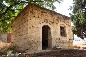
The village site, containing a large Israeli military camp and an airbase, was designated a closed military area. No more than six village houses survived. Most were deserted, although one or two were occupied by Israelis.
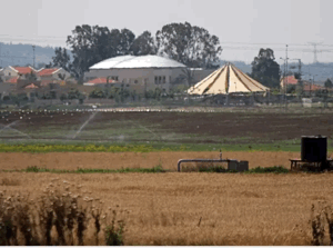
The school building also survived but stood deserted, with cactus plants growing in its front courtyard. The surrounding village lands have been cultivated by Israelis.
Sources
- PalQuest, “Sarafand al-‘Amar”.
- Palestine Remembered, “Sarafand al-‘Amar—al-Ramla”.
- Institute for Palestine Studies, Walid Khalidi’s All That Remains.
- Pal48, “Sarafand al-‘Amar”.
- Government of Palestine, Report and General Abstracts of the Census of 1922.
- Government of Palestine, Census of Palestine, 1931.
- Government of Palestine, Village Statistics, April 1945.
- Walid Khalidi, ed., All That Remains: The Palestinian Villages Occupied and Depopulated by Israel in 1948 (Washington, DC: Institute for Palestine Studies, 1992).
Photo gallery
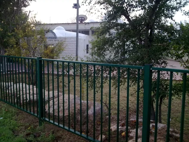

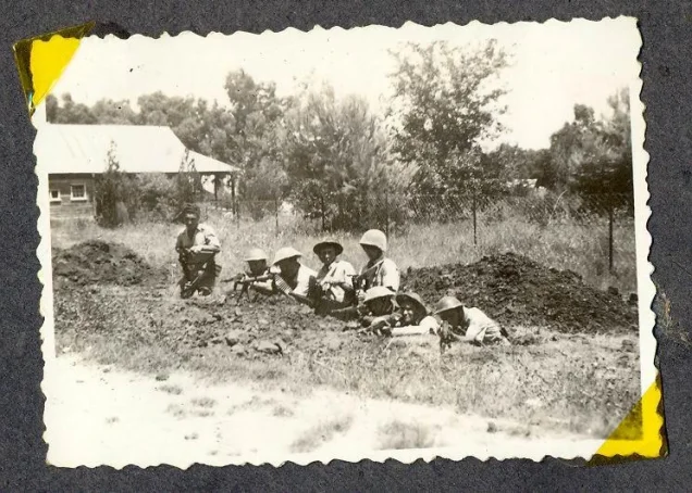


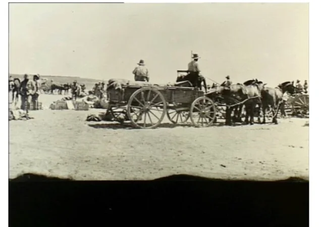
Photos from the village's people
Photos sent in by visitors and published after review.
Add a photo of this village
Log in to add photos of this village.
Other villages from Ramla
 Download Our Palestine App
The whole archive in the palm of your hand: depopulated villages, the Nakba, the massacres and Al-Aqsa — free, with no ads to erase the story.
Download Our Palestine App
The whole archive in the palm of your hand: depopulated villages, the Nakba, the massacres and Al-Aqsa — free, with no ads to erase the story.



Comments
No comments yet — be the first to write one.
Add your comment
Name and email are optional. Comments appear after review.