
The depopulated village of Khirbat Jiddin / District of Akka (Acre)
Subdistrict: Acre Subdistrict
Estimated population of Khirbat Jiddin in 1948: 1,740
Probable date of occupation and depopulation: Shortly after 10–11 July 1948
Military operation and probable units: Operation Dekel; villages in the area were attacked by units of the Sheva' (Seventh) and Carmeli brigades
Israeli settlements established on Khirbat Jiddin’s land before 1948: Yehi'am, established on village land in November 1947
Israeli settlements established on Khirbat Jiddin’s land after 1948: Ga'aton, established in October 1948; Yehi'am also expanded on village land
Khirbat Jiddin was located approximately 16 kilometres northeast of Acre.
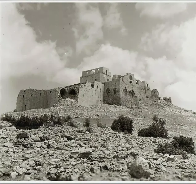
Khirbat Jiddin was a Palestinian locality in the Acre Subdistrict, known for the historic fortress around which its dwellings were constructed. The locality was probably occupied shortly after the fall of nearby Amqa on 10–11 July 1948 during Operation Dekel, part of Israel’s occupation of Palestine in the Nakba.
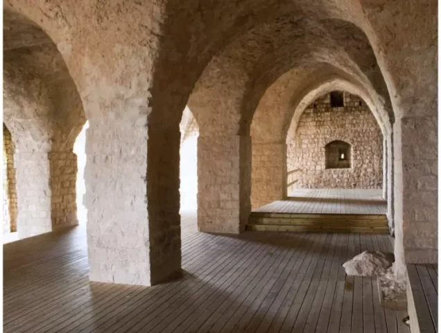
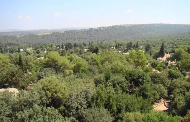
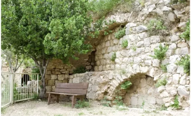
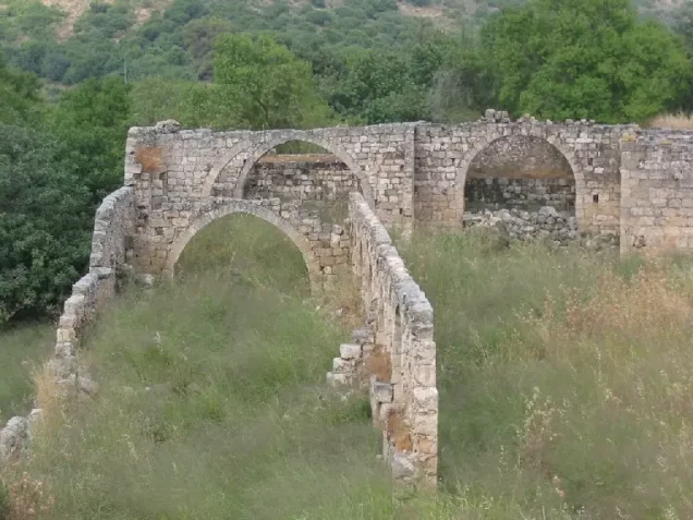
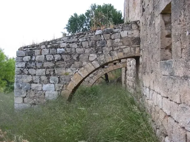
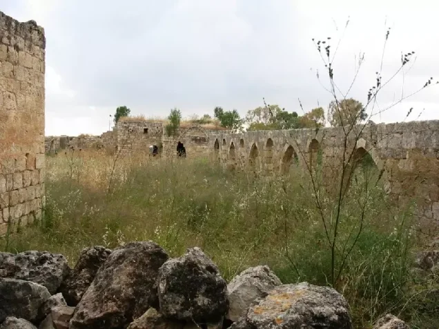
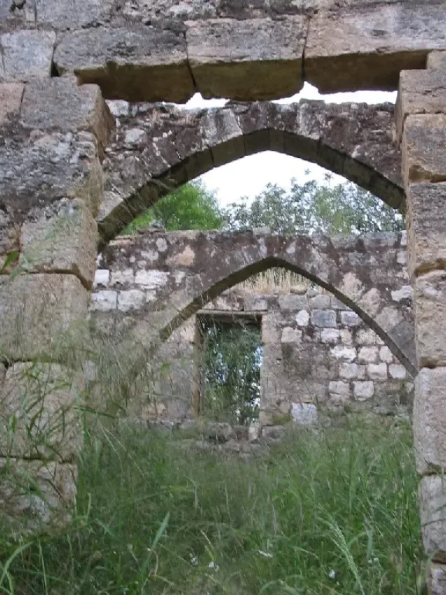
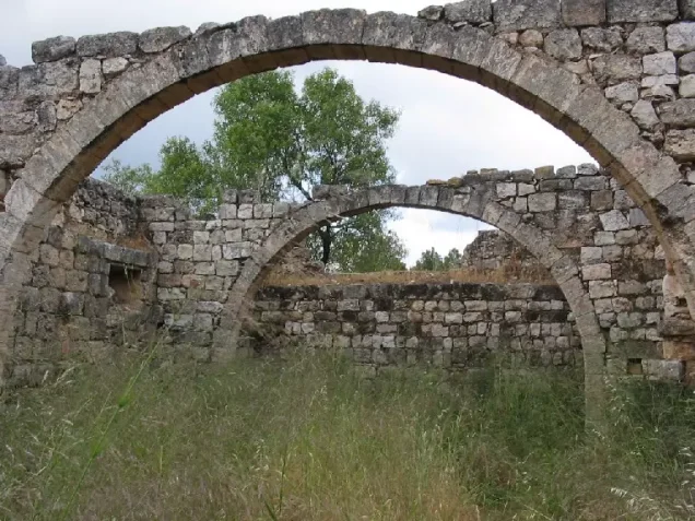
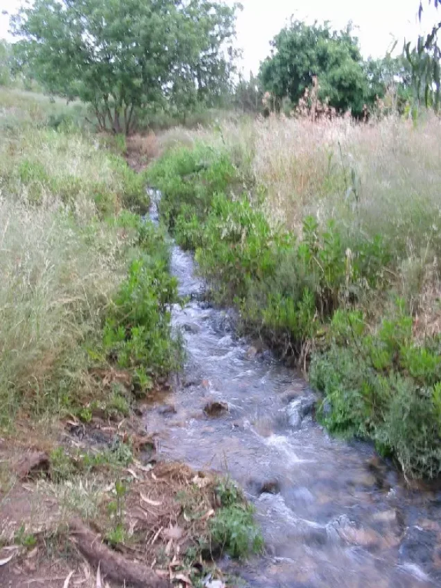
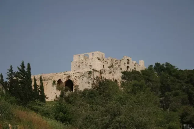
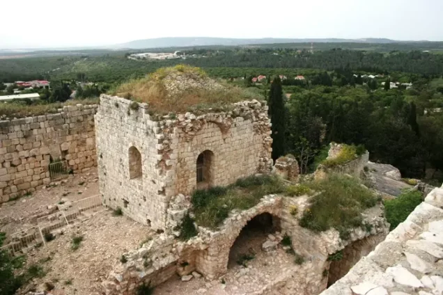
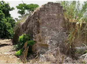
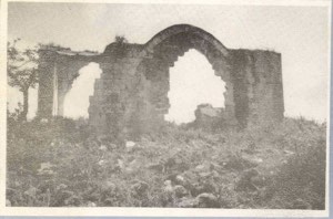
The village was built around the remains of an old fortress that stood on a hill overlooking the Mediterranean Sea to the west. Members of the Palestinian Arab al-Suwaytat Bedouin community inhabited the fortress ruins, adapting parts of its structures as dwellings and pitching their tents around them. Wadi Jiddin, a deep and heavily wooded valley, passed south of the village.
Historical and Architectural Setting of Khirbat Jiddin
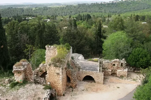
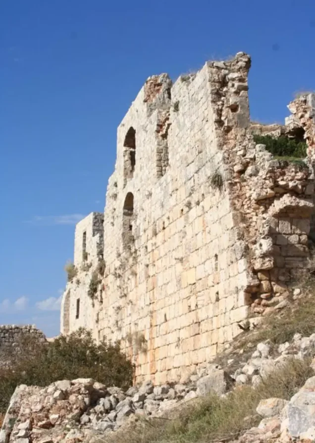
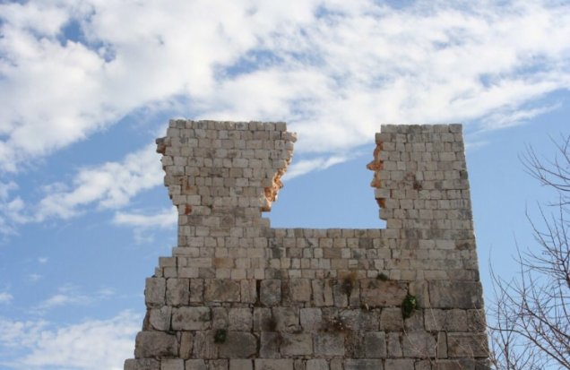
The fortress at Khirbat Jiddin was constructed by the Crusaders towards the end of the twelfth century and was known to them as Judyn. Muslim forces destroyed it in the late thirteenth century to prevent its continued use as a Crusader stronghold. It was later renovated and expanded under Zahir al-Umar during the eighteenth century before being ruined again under Ahmad Pasha al-Jazzar.
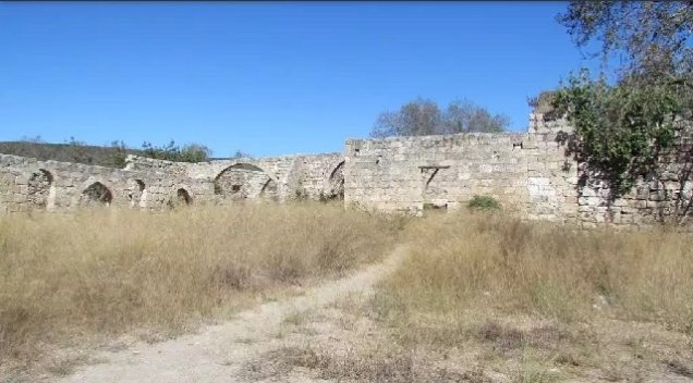
By the modern period, the ruins had become home to members of Arab al-Suwaytat. They used surviving rooms as residences and established tents around the fortress. Their principal economic activity was animal husbandry, although they also cultivated small areas of barley and tobacco.
Boundaries of Khirbat Jiddin
Khirbat Jiddin was situated among the following Palestinian villages and towns:
- North and northeast: Tarshiha.
- West: al-Ghabisiyya.
- Southwest: Amqa.
- South: Abu Sinan.
- Southeast: Yanuh.
Population of Khirbat Jiddin
The official 1945 statistics recorded a population of 1,500 Palestinian Muslims. This figure included members of the Arab al-Suwaytat community associated with Khirbat Jiddin and its surrounding lands. The population in 1948 has been estimated at approximately 1,740.
Land Ownership in Khirbat Jiddin
| Ownership category | Land area (dunams)* |
|---|---|
| Palestinian ownership | 4,238 |
| Jewish ownership | 3,349 |
| Public land | 0 |
| Total | 7,587 |
* One dunam equals approximately 1,000 square metres.
Land Use in Khirbat Jiddin
| Land-use category | Palestinian ownership (dunams)* | Jewish ownership (dunams)* | Total (dunams)* |
|---|---|---|---|
| Cereal cultivation | 22 | 32 | 54 |
| Cultivable land | 22 | 32 | 54 |
| Uncultivated land | 4,216 | 3,317 | 7,533 |
* One dunam equals approximately 1,000 square metres. Contemporary accounts indicate that the Arab al-Suwaytat cultivated barley and tobacco on the 22 dunams classified as cultivable Palestinian-owned land.
Population Records for Khirbat Jiddin
| Year | Population* |
|---|---|
| 1945 | 1,500 |
| 1948 | 1,740 |
| Estimated number of refugees in 1998 | 10,685 |
* The 1945 figure includes Arab al-Suwaytat. The figures for 1948 and 1998 are demographic estimates rather than contemporaneous census counts. Estimates vary between sources.
Occupation and Depopulation of Khirbat Jiddin
No contemporary source cited in the principal academic account provides an exact date for the occupation of Khirbat Jiddin. Its probable date can instead be reconstructed from the chronology of Israeli military operations in the surrounding area.
Israeli forces occupied the nearby Palestinian village of Amqa, several kilometres southwest of Khirbat Jiddin, on 10–11 July 1948 during Operation Dekel. They did not reach Yanuh, approximately 2 kilometres southeast of Khirbat Jiddin, until Operation Hiram at the end of October. However, the establishment of Ga'aton northwest of Khirbat Jiddin in early October indicates that the locality had already come under Israeli control during the earlier operation.
Khirbat Jiddin was therefore probably occupied shortly after the capture of Amqa on 10–11 July 1948, after which it remained near the front line until October. Many Palestinian villages in this region were subjected to heavy bombardment before being attacked by units of the Sheva' (Seventh) and Carmeli brigades. The precise unit that entered Khirbat Jiddin is not conclusively identified in the principal account.
The date of 1 July 1948 given in some secondary listings is not supported by the documented chronology of Operation Dekel, which began on 8 July. Consequently, it should not be presented as the village’s established occupation date.
Israeli Settlements Established on the Land of Khirbat Jiddin
- The organization responsible for establishing Yehi'am was formed in 1946 by members of Qiryat Chayyim. The settlement itself was constructed in November 1947 on Khirbat Jiddin’s land, north of the village site. It is therefore inaccurate to describe Yehi'am simply as a later neighbourhood built after the village’s occupation.
- Ga'aton was established on Khirbat Jiddin’s land in October 1948, northwest of the village site.
Khirbat Jiddin Today
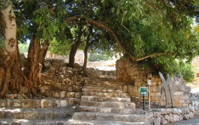
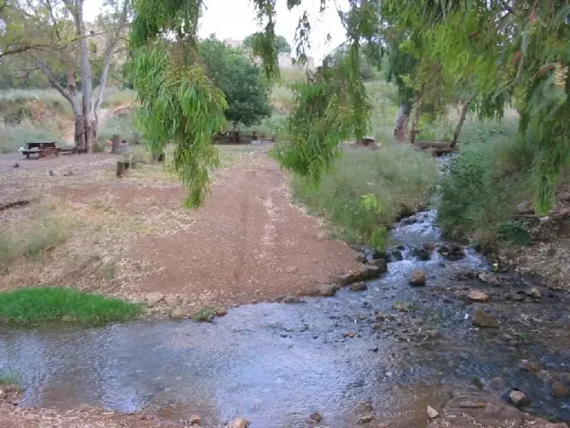
The historic fortress has been preserved and incorporated into a tourist site. Eucalyptus trees and other vegetation now surround the structure.
Sources
- Interactive Encyclopedia of the Palestine Question – Khirbat Jiddin.
- Interactive Encyclopedia of the Palestine Question – Operation Dekel.
- Palestine Remembered – Khirbat Jiddin.
- Our Palestine – Khirbat Jiddin.
- Government of Palestine, Village Statistics, April 1945.
- Walid Khalidi, All That Remains: The Palestinian Villages Occupied and Depopulated by Israel in 1948, Institute for Palestine Studies, 1992, pp. 18–19.
Photo gallery
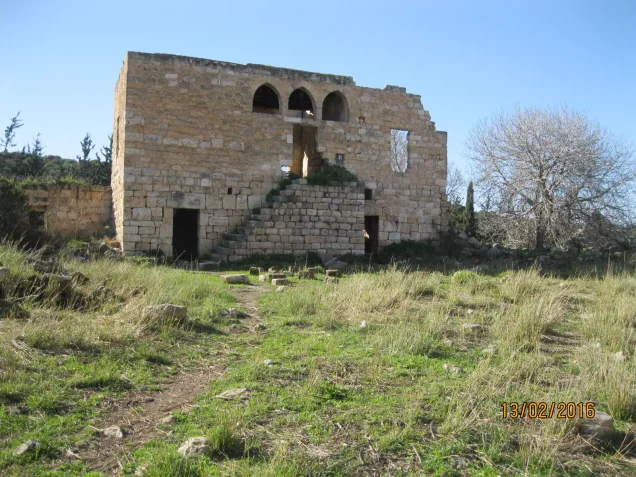
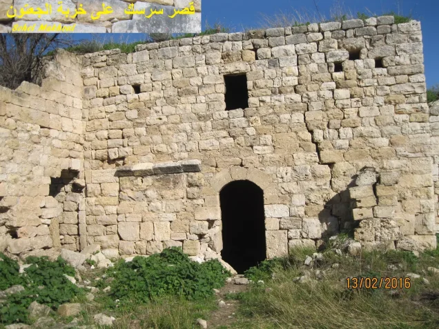
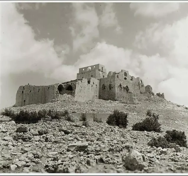
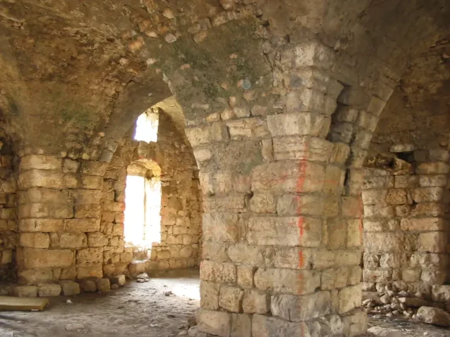
Photos from the village's people
Photos sent in by visitors and published after review.
Add a photo of this village
Log in to add photos of this village.
Other villages from Akka (Acre)
 Download Our Palestine App
The whole archive in the palm of your hand: depopulated villages, the Nakba, the massacres and Al-Aqsa — free, with no ads to erase the story.
Download Our Palestine App
The whole archive in the palm of your hand: depopulated villages, the Nakba, the massacres and Al-Aqsa — free, with no ads to erase the story.



Comments
No comments yet — be the first to write one.
Add your comment
Name and email are optional. Comments appear after review.