
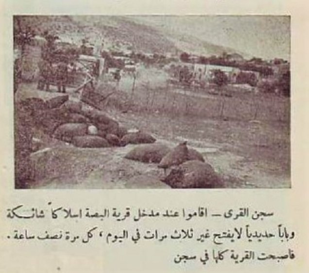
The depopulated village of Al-Bassa / District of Akka (Acre)

Subdistrict: Acre
Estimated population of al-Bassa in 1948: approximately 3,422; another village-based historical estimate places the population at about 4,000. Estimates vary between sources.
Date of occupation and depopulation: 14 May 1948; Palestinian historian ‘Arif al-‘Arif dates the village’s fall to 11 May 1948.
Military operation: Operation Ben-Ami
Military unit: Carmeli Brigade
Israeli settlement established near al-Bassa before 1948: Matzuva, founded in 1940; it subsequently expanded onto village land.
Israeli settlements established on the village site or its lands after 1948: Betzet, Kefar Rosh ha-Niqra, Liman, and Shelomi, in addition to the later expansion of Matzuva.
Al-Bassa was a depopulated Palestinian village in the Acre Subdistrict, near the Palestinian–Lebanese boundary and approximately 19 kilometres north of the city of Acre.
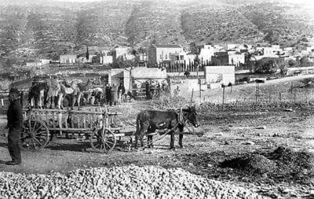
The village stood on the slopes of a rocky hill north of Wadi al-Bassa and faced west toward the Mediterranean coast. A secondary road connected it with the Acre–Beirut coastal highway.
Al-Bassa was the second-largest village in the Acre Subdistrict in terms of population.
Boundaries of al-Bassa
Al-Bassa lay among the following countries, Palestinian villages, and geographical areas:
- North: Lebanon.
- West: the Mediterranean Sea.
- Southwest: al-Zib.
- South: al-Kabri.
- East: Khirbat ‘Arabbin, also known as al-Qulaytat.
Origin of the Name al-Bassa
The village’s name may have been derived from the Canaanite term bissah, meaning “swamp.” During the Roman period, the locality was known as Bezeth. The medieval chronicler ‘Imad al-Din al-Isfahani, an adviser to Salah al-Din al-Ayyubi, referred to it as ‘Ayn al-Bassa.
Public Facilities in al-Bassa
- The villagers established two athletic clubs.
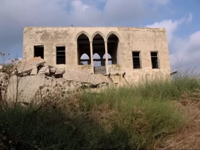
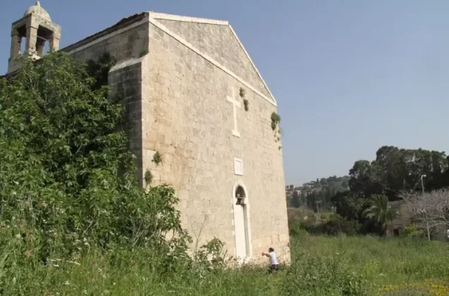
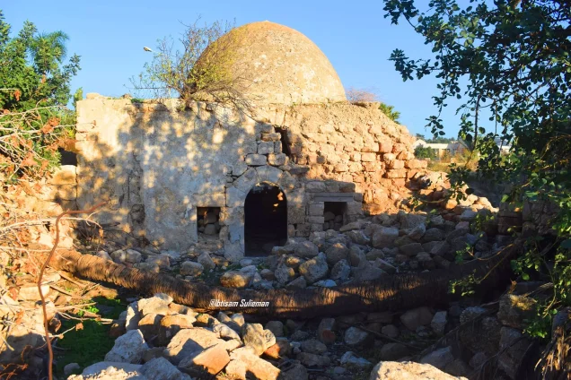
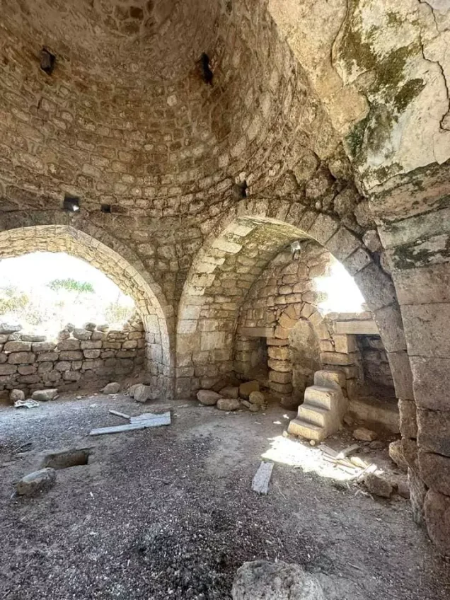
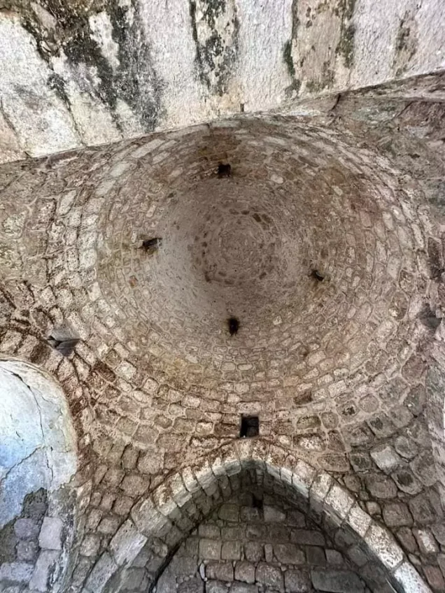
- Al-Bassa had two mosques, two churches, and several religious shrines. Some belonged to the Muslim community and others to the Christian community, while two shrines were regarded as sacred by members of both communities.
- A farmers’ cooperative established in the early 1940s owned agricultural implements, a truck, and a mechanical harvester.
- A local council, founded in 1922, administered municipal affairs and later developed a network of pipes that supplied drinking water to village homes.
Population of al-Bassa
The inhabitants of al-Bassa and the neighbouring locality of Khirbat Ma‘sub were recorded together in the official 1944/45 statistics. Their combined Palestinian population was 2,950, consisting of 1,590 Christians and 1,360 Muslims.
Later demographic calculations produce an estimated 1948 population of approximately 3,422, including 150 Jewish residents recorded within the statistical land unit. A separate village-based account cited by PalQuest estimates the population of al-Bassa and Khirbat Ma‘sub at approximately 4,000 in 1948. It attributes the increase partly to workers who moved to the area to obtain employment at nearby British military bases and to the village’s comparatively low rate of emigration. Because the sources use different statistical scopes and estimation methods, neither figure should be presented as an exact census total.
Population of al-Bassa
| Year | Population | Notes |
|---|---|---|
| 1596 | 572 | Ottoman-period estimate |
| Late nineteenth century | Approximately 1,050 | Historical estimate |
| 1914 | 1,720 | Historical estimate |
| 1931 | 1,948 | Includes Ra’s al-Naqura |
| 1945 | 2,950 Palestinians | Includes Khirbat Ma‘sub: 1,590 Christians and 1,360 Muslims |
| 1948 | Approximately 3,422–4,000 | Estimates vary according to the statistical scope and method used |
| Estimated registered refugee population, 1998 | 21,015 | Later demographic estimate |
* The 1948 and 1998 figures are demographic estimates rather than contemporary official censuses.
Number of Houses in al-Bassa
| Year | Number of houses | Notes |
|---|---|---|
| 1931 | 479 | Includes Ra’s al-Naqura |
| 1948 | More than 700 | Village-based historical estimate |
Economic Life in al-Bassa
- The village practised both rain-fed and irrigated agriculture. Wheat and other cereals were its principal crops, while vegetables, fruits, and nuts were also cultivated. In 1944/45, the combined lands of al-Bassa and Khirbat Ma‘sub included 614 dunams planted with citrus and bananas, 10,437 dunams allocated to cereal cultivation, and 4,699 dunams irrigated or used for orchards.
- Al-Bassa had more than twenty shops that also served neighbouring villages. A hisba, or open wholesale and retail produce market, operated in the village centre on Sundays.
- The inhabitants also worked in crafts, soap-making, livestock raising, and wage employment at nearby British military bases.
- Workers in al-Bassa established a local branch of the national Palestinian labour union, which defended workers’ interests and operated a cooperative store.
Land Ownership in al-Bassa, 1944/45
| Ownership category | Area in dunams |
|---|---|
| Palestinian ownership | 25,258 |
| Jewish ownership | 4,178 |
| Public land | 99 |
| Total | 29,535 |
* One dunam equals approximately 1,000 square metres. The figures include the lands of Khirbat Ma‘sub.
Land Use in al-Bassa, 1944/45
| Land-use category | Palestinian ownership (dunams) | Jewish ownership (dunams) | Public land (dunams) | Total (dunams) |
|---|---|---|---|---|
| Citrus and banana cultivation | 614 | 0 | 0 | 614 |
| Irrigated land and orchards | 4,699 | 76 | 0 | 4,775 |
| Olive cultivation* | 3,500 | 0 | 0 | 3,500 |
| Cereal cultivation | 10,437 | 1,197 | 0 | 11,634 |
| Built-up area | 132 | 0 | 0 | 132 |
| Cultivable land | 15,750 | 1,273 | 0 | 17,023 |
| Uncultivated land, excluding the built-up area | 9,376 | 2,905 | 99 | 12,380 |
* One dunam equals approximately 1,000 square metres. The figures include Khirbat Ma‘sub. Olive cultivation represents a crop-specific figure and should not be added separately to the cultivable-land total. The original figure of 9,475 dunams combined Palestinian uncultivated land with 99 dunams of public land; these categories have been separated here.
Education in al-Bassa
The village had at least three schools:
- A public elementary school for boys, built by the Ottoman authorities in 1882.
- A public elementary school for girls.
- A private secondary school.
Archaeological Remains in al-Bassa
Archaeological remains were identified both within and around al-Bassa. Inside the village were the remains of an ancient settlement, sections of mosaic flooring, cisterns, and rock-hewn tombs. In 1932, the Palestine Department of Antiquities excavated a Christian burial site containing coins and glass objects dating to the fourth century CE. More than eighteen archaeological ruins, or khirbas, were also recorded near the village.
Religious Buildings and Shrines in al-Bassa
Al-Bassa had two mosques, two churches, and several shrines. Some of the shrines were associated with the Muslim
Photo gallery
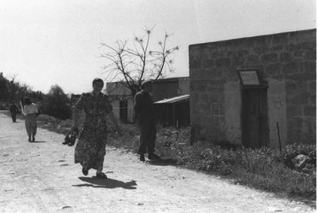
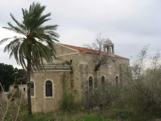
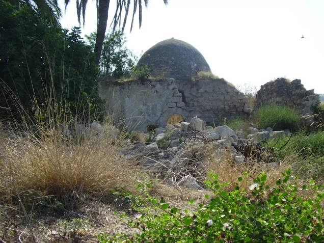
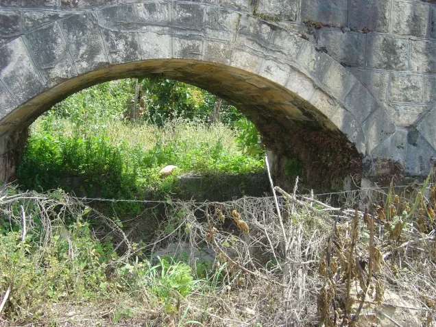

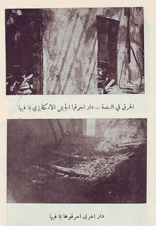
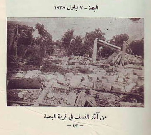
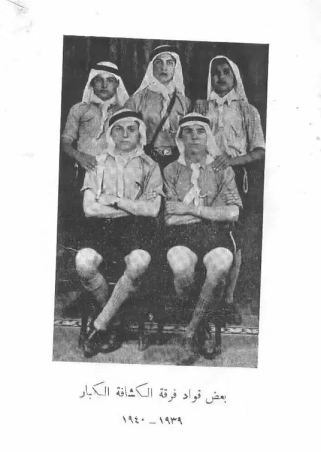
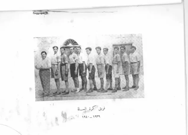

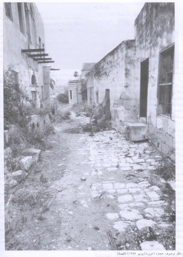
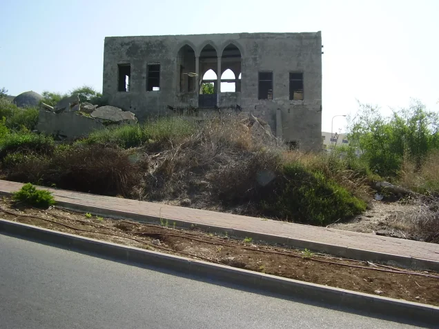
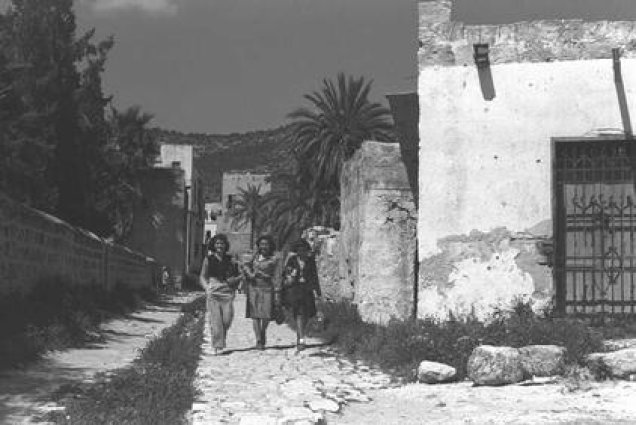

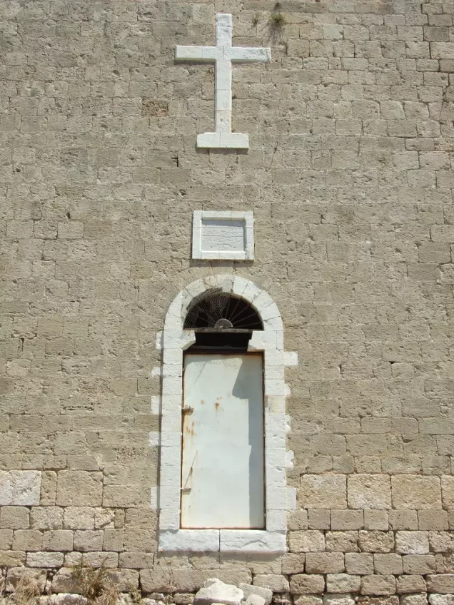
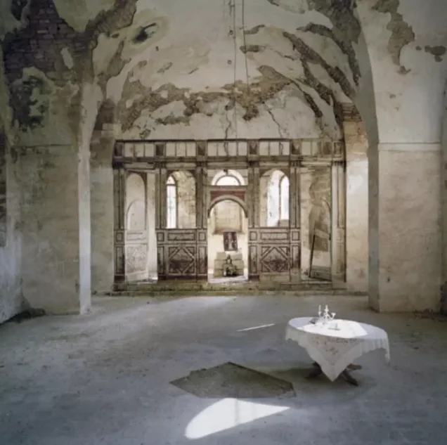
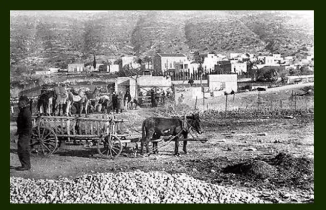

Photos from the village's people
Photos sent in by visitors and published after review.
Add a photo of this village
Log in to add photos of this village.
Other villages from Akka (Acre)

 Download Our Palestine App
The whole archive in the palm of your hand: depopulated villages, the Nakba, the massacres and Al-Aqsa — free, with no ads to erase the story.
Download Our Palestine App
The whole archive in the palm of your hand: depopulated villages, the Nakba, the massacres and Al-Aqsa — free, with no ads to erase the story.



Comments
No comments yet — be the first to write one.
Add your comment
Name and email are optional. Comments appear after review.