
The depopulated village of Al-Zeeb / District of Akka (Acre)

Subdistrict: Acre
Estimated population of al-Zib in 1948: 2,216
Date of occupation and depopulation: 14 May 1948
Military operation: Operation Ben-Ami
Military unit: Carmeli Brigade of the Haganah
Israeli settlements established on al-Zib’s lands before 1948: None
Israeli settlements established on al-Zib’s lands after 1948: Gesher ha-Ziv and Sa‘ar
Al-Zib was a Palestinian coastal village in the Acre Subdistrict, situated approximately 13.5 km north of Acre on the Mediterranean coast. It lay south of al-Bassa and approximately 14 km south of Ra’s al-Naqura. The original reference to a distance of 4 km from Ra’s al-Naqura is not supported by the documented geographical coordinates.
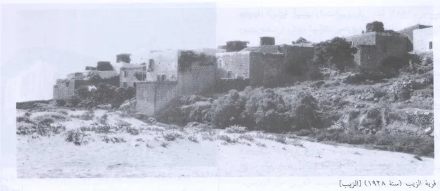
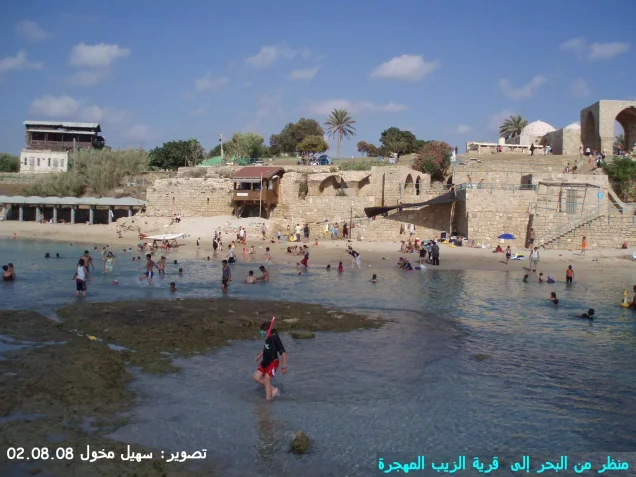
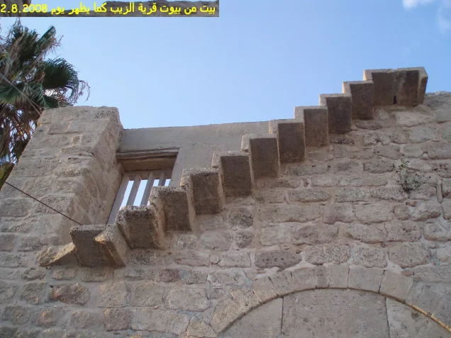
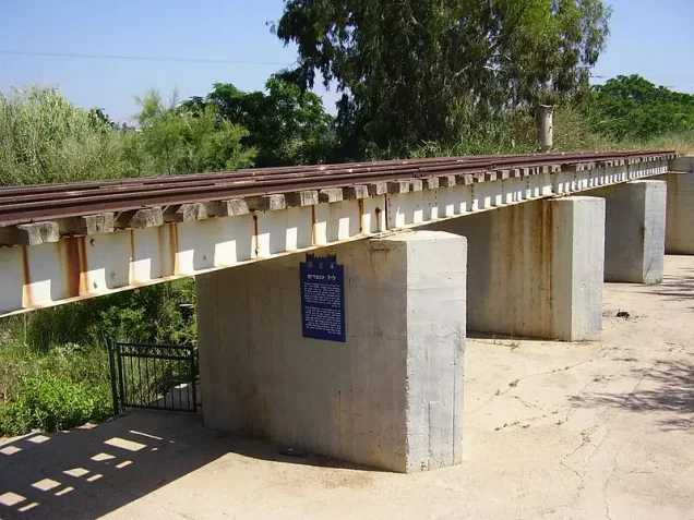
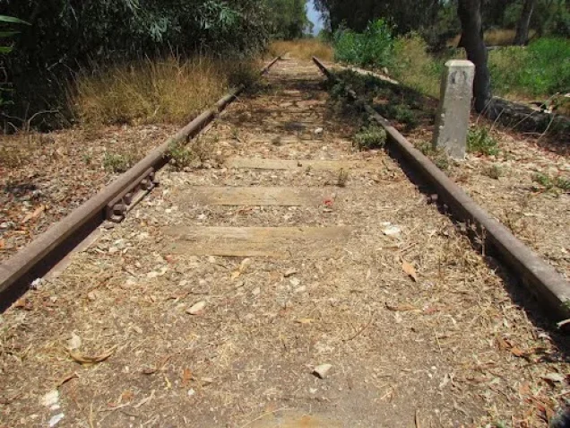
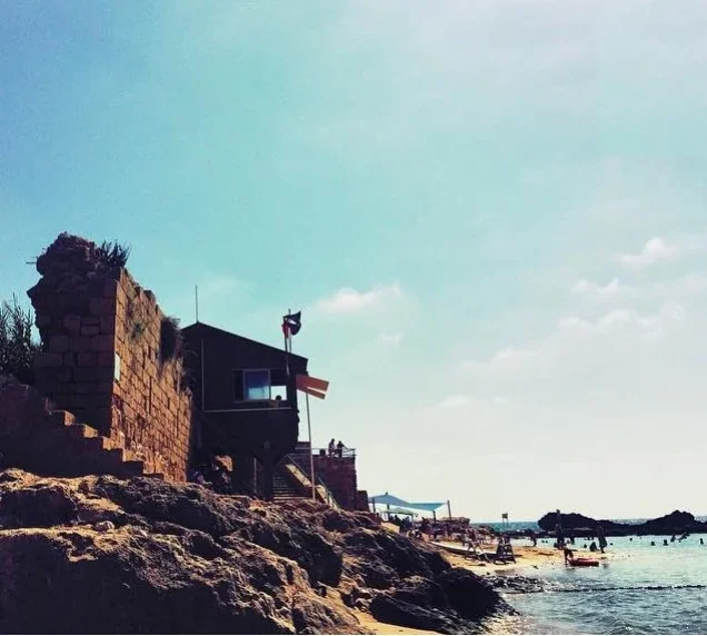
The village stood on a dome-shaped hill overlooking the Mediterranean Sea, east of the coastal highway and railway line. Its densely clustered houses were constructed from stone and mud, stone and cement, and, in the later Mandate period, reinforced concrete.
Boundaries of al-Zib
Al-Zib was bordered by the following Palestinian villages and geographical areas:
North: al-Bassa.
West: the Mediterranean Sea.
South: al-Mazra‘a.
Southeast: Umm al-Faraj.
East: al-Kabri.
Population of al-Zib
Al-Zib had 804 inhabitants in the 1922 census. By 1931, its population had increased to 1,059, all of whom were Muslim, living in 251 houses. The official 1945 estimate recorded 1,910 inhabitants.
A later demographic projection estimated that approximately 2,216 people lived in al-Zib in 1948. The rounded figure of 2,220 is sometimes used in secondary summaries.
Population of al-Zib
| Year | Population* |
|---|---|
| 1596 | Approximately 875 |
| Late nineteenth century | Approximately 400 |
| 1922 | 804 |
| 1931 | 1,059 |
| 1945 | 1,910 |
| 1948 estimate | 2,216 |
| Estimated number of refugees in 1998 | 13,606 |
*The sixteenth- and nineteenth-century figures are historical estimates. The figures for 1948 and 1998 are later demographic projections rather than contemporary census counts.
Number of Houses in al-Zib
| Year | Number of houses |
|---|---|
| 1931 | 251 |
| 1948 estimate | 525 |
*The 1931 figure comes from the official census, whereas the 1948 figure is a later estimate.
Economic Life in al-Zib
Fishing and agriculture, particularly fruit cultivation, formed the foundations of al-Zib’s economy. In 1944/45, 2,972 dunums were devoted to citrus fruits and bananas, 4,425 dunums were planted with cereals, and 1,989 dunums were irrigated or used for other orchards.
Between 1927 and 1945, the village’s annual fish catch averaged more than 16 metric tons. The villagers kept records of the quantities caught and the prices for which the fish were sold.
Al-Zib also had four olive presses: two powered by animals and two mechanically operated.
The Lands of al-Zib
Al-Zib’s built-up area covered approximately 62 dunums in 1944/45, while its entire landholding extended over 12,607 dunums. Of the total, 12,438 dunums were Palestinian Arab-owned and 169 dunums were classified as public land. The official village statistics recorded no Jewish-owned land within the village boundaries.
The village lands were bordered by al-Bassa, al-Kabri, other neighbouring localities, and the Mediterranean Sea.
Land Ownership in al-Zib
| Ownership category | Land ownership in dunums* |
|---|---|
| Palestinian Arab-owned | 12,438 |
| Jewish-owned | 0 |
| Public land | 169 |
| Total | 12,607 |
*One dunum is equivalent to approximately 1,000 square metres. “Public land” follows the classification used in the official 1944/45 village statistics.
Land Use in al-Zib in 1944/45
| Land-use category | Area in dunums* |
|---|---|
| Citrus and banana plantations | 2,972 |
| Other irrigated land and orchards | 1,989 |
| Land planted with cereals | 4,425 |
| Built-up area | 62 |
| Total cultivable land | 9,386 |
| Non-cultivable land | 3,159 |
*One dunum is equivalent to approximately 1,000 square metres. The figure of “2,000” associated with olive cultivation in some secondary tables appears to refer to the approximate number of olive trees, not 2,000 additional dunums. It has therefore not been included as a separate land-area category.
Education in al-Zib
Al-Zib had an official elementary school for boys, established during the Ottoman period in 1882. The village also had a mosque and a clinic.
According to local memory, the school’s morning recitation included the following verse:
“White are our deeds, green are our pastures, black are our battles, and red are our swords.”
The verse, traditionally attributed to the medieval Arab poet Safi al-Din al-Hilli, evokes generosity and peace in ordinary life and courage in war. Its use at al-Zib’s school is preserved in local testimony rather than documented in the principal official school records consulted.
Archaeological and Architectural Heritage of al-Zib
Al-Zib occupied an archaeologically significant site associated with the ancient Canaanite settlement of Akzib. Archaeological evidence indicates occupation from at least the eighteenth century BCE, while a fortified town existed there by the tenth century BCE. The settlement was later known as Ecdippa under Roman rule and as Casal Lambertie or Imbert during the Crusader period.
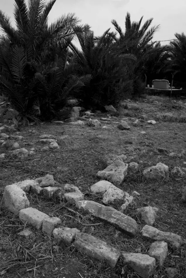
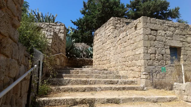
The archaeological site contained building foundations, room floors, a cistern, and tombs carved into the coastal rock southeast of the village. Several additional archaeological ruins were located within the broader village lands.
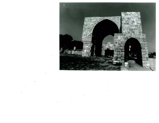
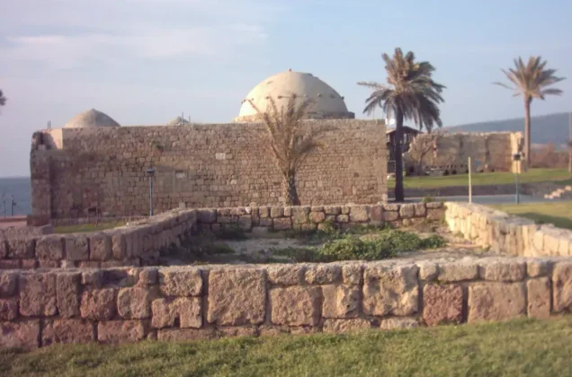
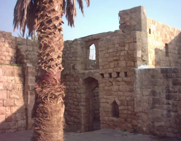
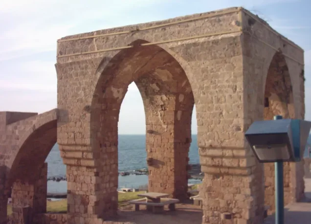
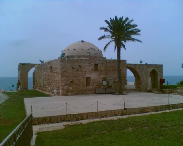
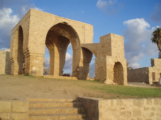
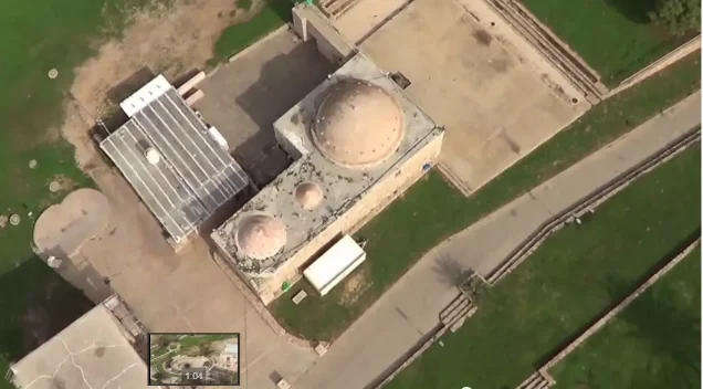
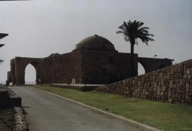
The village mosque remains standing at the former site. Local architectural documentation describes it as a square prayer hall with an area of approximately 179.5 square metres. Its façades were constructed in horizontal courses of hard stone, with larger blocks in the lower sections and smaller stones above. The mosque has a dome, a large decorative arch on its front façade, and a side annex formed by two monumental arches.
Local archaeological inventories identify the following ruins and sites east of al-Zib and around Wadi al-Qarn:
- Khirbat al-Shaqaf.
- Khirbat Humsin, containing stone remains, a built column, a column base, rock-cut features, foundations, olive presses, and rock-hewn tombs to the west.
- Khirbat al-‘Amud, containing stone foundations and remains associated with an olive press. Its suggested identification with the ancient Canaanite locality of ‘Am‘ad remains an archaeological hypothesis.
- Khirbat al-Manawat.
- Bir al-Khazna, containing the remains of a small structure.
- Khirbat ‘Abda.
- Khirbat al-Suwayjira.
- Khirbat Taybiriyya.
- Khirbat Bayt ‘Abra.
- Khirbat al-Shumariyya.
Walid Khalidi’s principal account refers to six archaeological ruins within a radius of approximately 4 km. The longer list above derives from broader local archaeological inventories, and the precise association of every named site with al-Zib’s officially demarcated lands requires further cartographic verification.
Occupation and Depopulation of al-Zib
On 13–14 May 1948, the Haganah’s Carmeli Brigade launched an offensive across northwestern Palestine. Al-Zib was one of the principal Palestinian villages targeted during Operation Ben-Ami and was occupied on 14 May.
The official history of the Haganah maintained that the residents fled when its forces appeared. Israeli historian Benny Morris presented a different account, stating that most villagers fled during the mortar bombardment accompanying the assault. Palestinian villagers interviewed by historian Nafez Nazzal also recalled a battle preceded by shelling.
According to these testimonies, some villagers initially mistook the attacking forces for Arab reinforcements because members of the force wore red-and-white Arab headdresses. The attackers overcame the village militia, which reportedly consisted of approximately 35 to 40 armed men.
Residents who could not escape during the battle remained temporarily and were later transferred to al-Mazra‘a, which became a gathering place for Palestinians who remained in western Galilee.
Operation commander Moshe Carmel subsequently ordered al-Zib to be demolished to punish the village and prevent its inhabitants from returning. In December 1948, Yosef Weitz of the Jewish National Fund recorded that al-Zib had been almost completely levelled.
Israeli Settlements on al-Zib’s Lands
On 27 January 1949, a kibbutz initially called Beyt ha-Arava was established on the ruins of al-Zib. It was subsequently renamed Gesher ha-Ziv. Its first residents included Jewish immigrants from England, the United States, and South Africa.
Gesher ha-Ziv stands on al-Zib’s lands close to the former village site. The settlement of Sa‘ar was established south of the site in 1948 and is also identified in the consulted village records as occupying part of al-Zib’s lands.
Liman lies nearby but was established on land belonging to the neighbouring Palestinian village of al-Bassa rather than al-Zib. The attribution of part of Liman to al-Zib in the original summary has therefore been corrected.
Some local cartographic accounts associate the northern expansion of Nahariya—including Giv‘at Trumpeldor, Rasko Agricultural, and Neve Alon—with parts of al-Zib’s former landholding. However, these neighbourhood-level attributions are not specified in the principal academic village profile and require detailed cadastral verification. They should not be presented as conclusively established settlements on the village’s built-up site.
Al-Zib Today
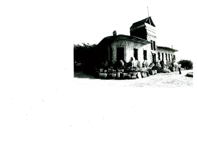
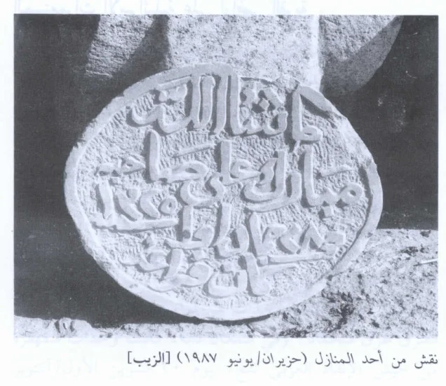
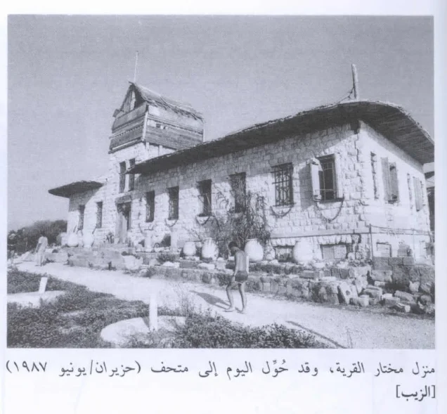
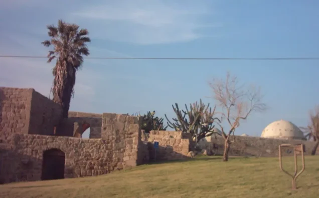
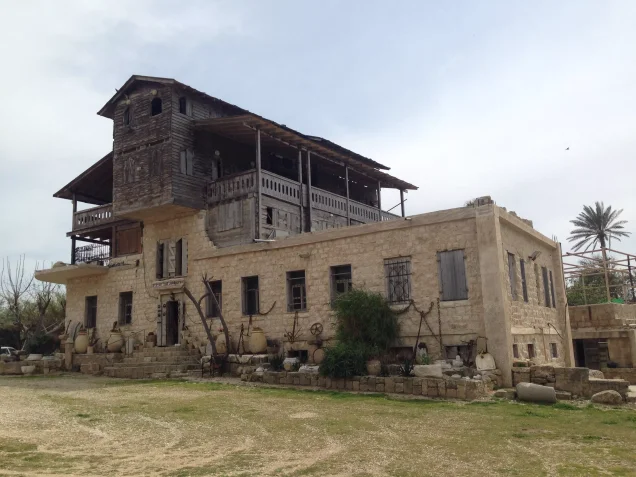
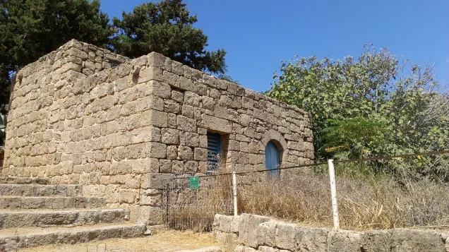
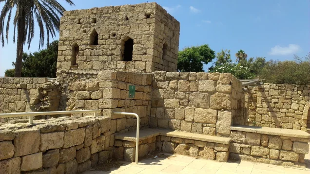
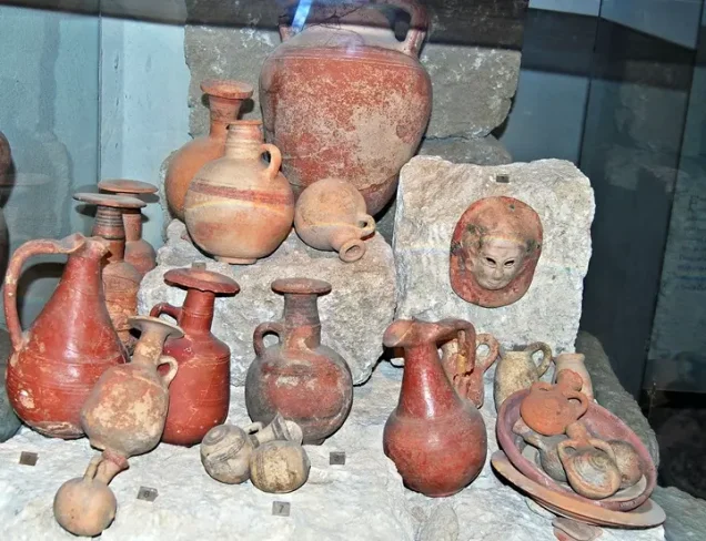
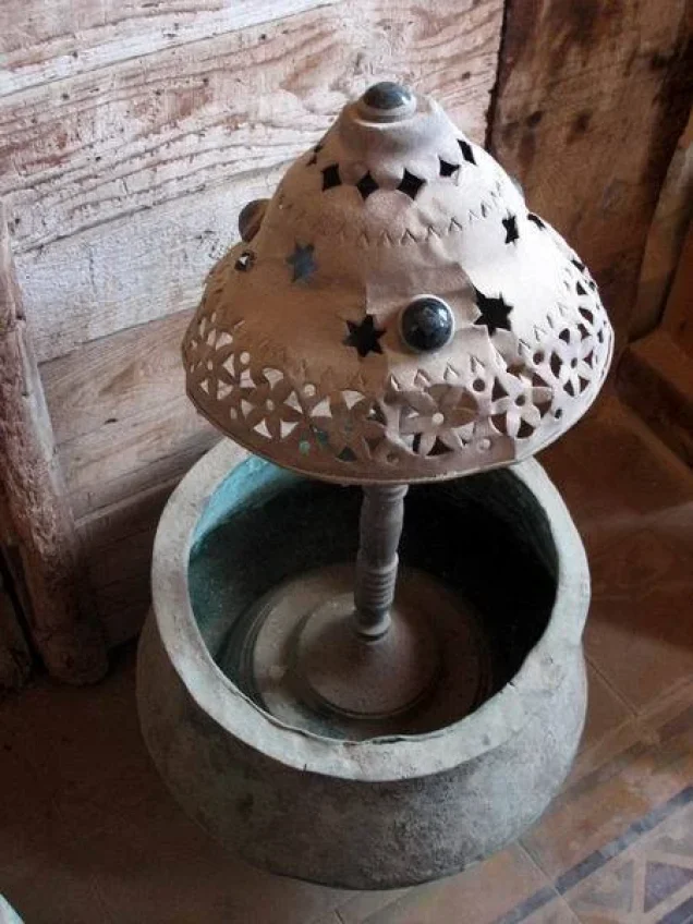
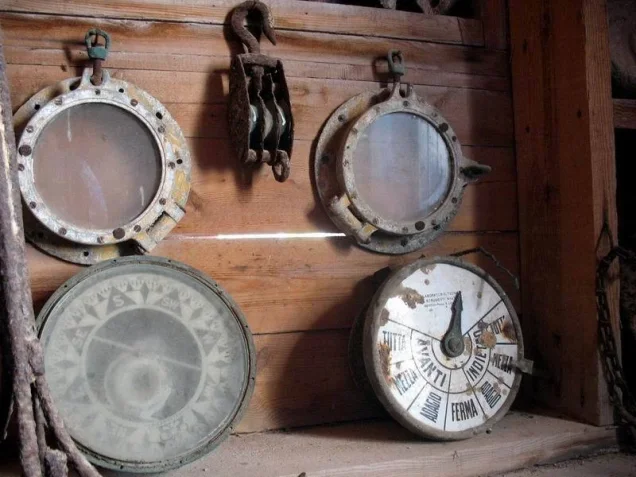
The village mosque, restored and incorporated into a tourist site, is among the principal surviving buildings. The large masonry house of the village mukhtar, Husayn ‘Ataya, also survives and is now used as a museum. The building displays several inscribed gravestones, including one bearing a Qur’anic verse.
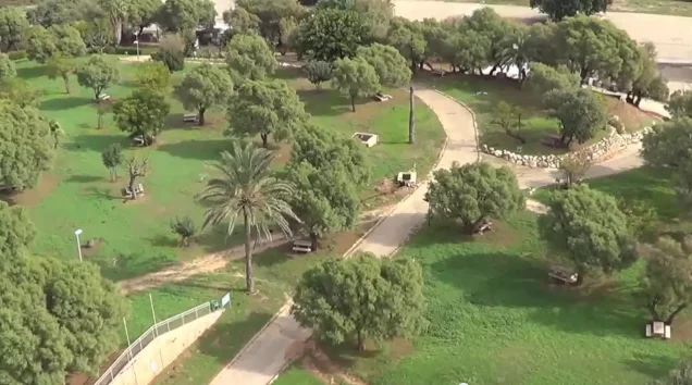
The former village site and its surrounding land are now used as a recreational park and tourist area.
Sources
- Interactive Encyclopedia of the Palestine Question: al-Zib.
- Walid Khalidi, ed., All That Remains: The Palestinian Villages Occupied and Depopulated by Israel in 1948, Institute for Palestine Studies, 1992.
- Palestine Remembered: al-Zib, Acre Subdistrict.
- Village Statistics of 1945: A Classification of Land and Area Ownership in Palestine.
- Pal48: The Depopulated Village of al-Zib.
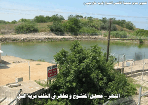
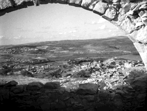
Photo gallery








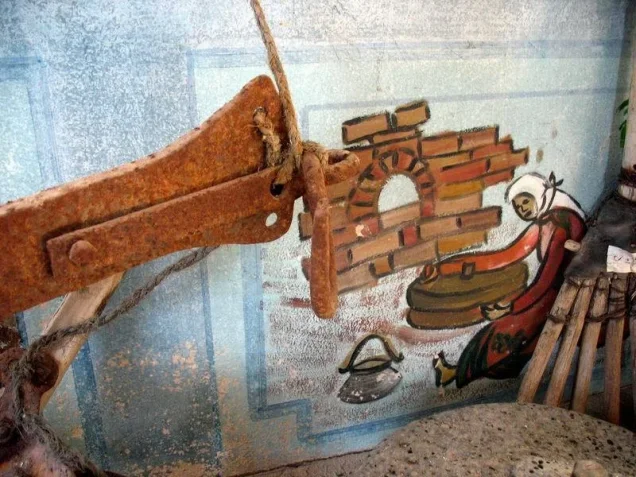


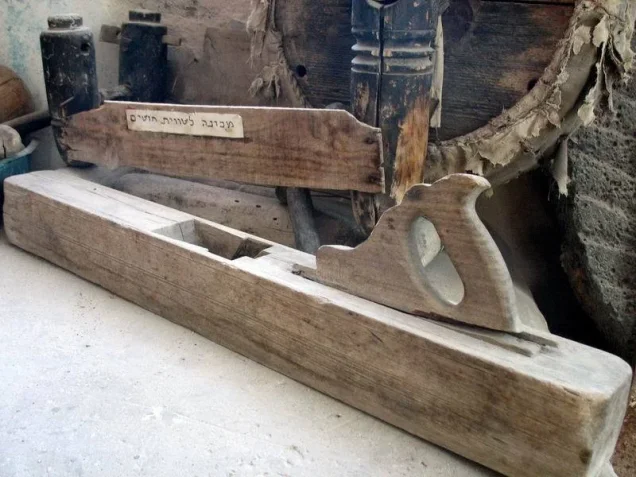

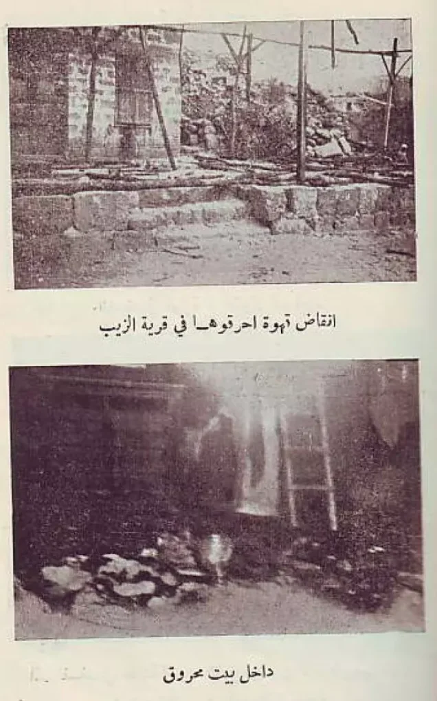

Photos from the village's people
Photos sent in by visitors and published after review.
Add a photo of this village
Log in to add photos of this village.

 Download Our Palestine App
The whole archive in the palm of your hand: depopulated villages, the Nakba, the massacres and Al-Aqsa — free, with no ads to erase the story.
Download Our Palestine App
The whole archive in the palm of your hand: depopulated villages, the Nakba, the massacres and Al-Aqsa — free, with no ads to erase the story.



Comments
No comments yet — be the first to write one.
Add your comment
Name and email are optional. Comments appear after review.