
The depopulated village of Al-Salihiyya / District of Safed
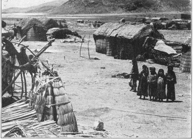
Subdistrict: Safad
Estimated population of al-Salihiyya in 1948: 1,763
Date of occupation and depopulation: 25 May 1948
Military operation: Operation Yiftach
Military unit: Yiftach Brigade, led principally by the Palmach’s First Battalion
Israeli settlements established on al-Salihiyya’s lands before 1948: None
Israeli settlements established on al-Salihiyya’s lands after 1948: None
Al-Salihiyya was a Palestinian village in the Safad Subdistrict, situated approximately 25 km northeast of Safad and about 75 metres above sea level.
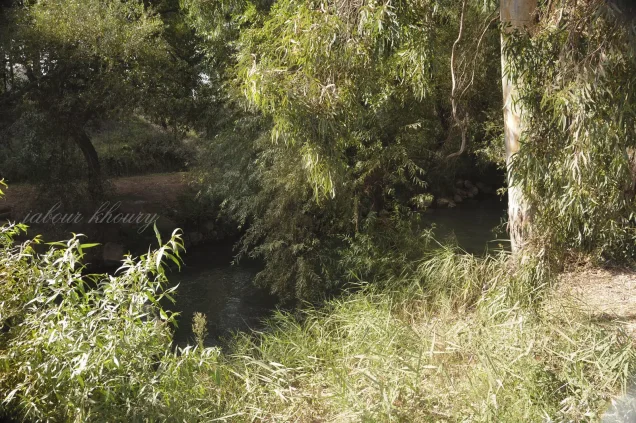
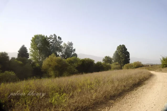
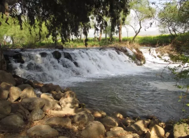
The village occupied a flat tract of land in the al-Hula Plain, near the confluence of the Jordan River and Wadi Tur‘an. The wadi flowed into Lake al-Hula, approximately 4 km directly south of the village. A network of secondary roads connected al-Salihiyya with the surrounding villages.
Late nineteenth-century visitors described al-Salihiyya as a village of adobe houses built on cultivable land near the al-Hula marshes. The houses were clustered along the roads crossing the village.
Boundaries of al-Salihiyya
Al-Salihiyya was situated among the following Palestinian villages and geographical areas:
- North: Qaytiyya.
- Northeast: al-Dawwara.
- East: al-Muftakhira.
- Southeast: Khiyam al-Walid.
- South: the al-Hula Plain, extending toward Lake al-Hula.
- Southwest: al-Zawiya.
- West: al-Na‘ima.
Public Facilities in al-Salihiyya
A small marketplace stood at the centre of the village. The population was Muslim, and the village had a mosque and an elementary school for boys.
Population of al-Salihiyya
The 1931 census recorded 1,281 inhabitants living in 257 houses. The population was recorded as Arab and Muslim. By 1945, the village population had increased to 1,520.
A later demographic projection estimated that al-Salihiyya had approximately 1,763 inhabitants in 1948 and around 353 houses. The number of refugees originating from the village was estimated at 10,828 in 1998.
The figures for 1948 and 1998 are later estimates and should not be presented as contemporary official census counts.
Population of al-Salihiyya
| Year | Population* |
|---|---|
| 1931 | 1,281 |
| 1945 | 1,520 |
| 1948 estimate | 1,763 |
| Estimated number of refugees in 1998 | 10,828 |
*The 1948 and 1998 figures are later demographic estimates rather than contemporary census results.
Number of Houses in al-Salihiyya
| Year | Number of houses |
|---|---|
| 1931 | 257 |
| 1948 estimate | 353 |
*The 1931 figure was recorded in the official census, whereas the 1948 figure is a later estimate.
Economic Life in al-Salihiyya
Al-Salihiyya’s economy depended primarily on agriculture, livestock products, and a limited range of commercial and artisanal activities.
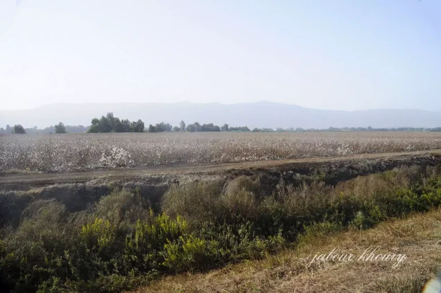
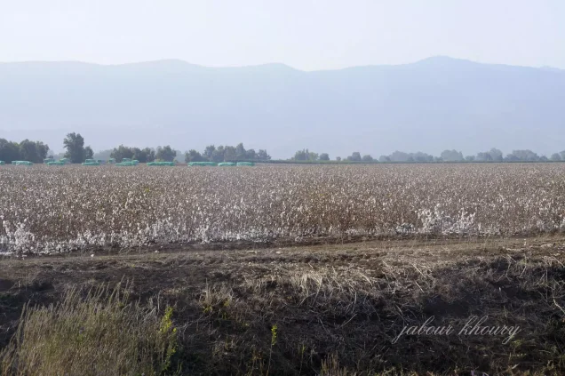
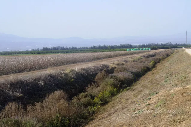
Like much of the al-Hula Plain, the village possessed fertile land and abundant water resources. These conditions supported the cultivation of cereals, vegetables, and fruit. Vegetables and fruit were grown mainly in the eastern and northern sections of the village lands.
In 1944/45, 4,994 dunums were planted with cereals, comprising 4,230 dunums of Palestinian Arab-owned land and 764 dunums of Jewish-owned land. A further 23 dunums of Palestinian Arab-owned land were irrigated or used for orchards.
Land Ownership in al-Salihiyya
| Ownership category | Land ownership in dunums* |
|---|---|
| Palestinian Arab-owned | 4,528 |
| Jewish-owned | 789 |
| Public land | 290 |
| Total | 5,607 |
*One dunum is equivalent to approximately 1,000 square metres. “Public land” follows the classification used in the official 1944/45 village statistics and should not be confused with private communal ownership.
Land Use in al-Salihiyya in 1944/45
| Land-use category | Palestinian Arab-owned land in dunums* | Jewish-owned land in dunums* |
|---|---|---|
| Irrigated land and orchards | 23 | 0 |
| Land planted with cereals | 4,230 | 764 |
| Built-up area | 94 | 25 |
| Total cultivable land | 4,253 | 764 |
| Non-cultivable land | 181 | 0 |
*One dunum is equivalent to approximately 1,000 square metres. An additional 290 dunums were classified as public non-cultivable land, bringing the total non-cultivable area to 471 dunums.
Education in al-Salihiyya
Al-Salihiyya had an elementary school for boys. Local educational accounts date its opening to the 1942–1943 academic year and state that instruction extended through the fourth elementary grade.
The existence of the boys’ school is documented in the principal academic account of the village, although the precise opening year and highest grade are not specified there. The more detailed chronology should therefore be attributed to local educational records.
Occupation and Depopulation of al-Salihiyya
Al-Salihiyya was occupied and depopulated on 25 May 1948 during Operation Yiftach. The operation was conducted by the Palmach’s Yiftach Brigade between 15 April and 25 May 1948, with its First Battalion playing a leading role.
Operation Yiftach sought to establish Zionist military control over eastern Galilee before and immediately after the end of the British Mandate. It combined direct military assaults, expulsions, and psychological warfare—including the “whispering campaign”—to induce Palestinian communities in the al-Hula region to flee.
The available village-specific sources do not provide a detailed account of the precise assault on al-Salihiyya or establish that it was occupied on 1 May. The more consistently documented date is 25 May 1948, the final day of Operation Yiftach.
Israeli Settlements near al-Salihiyya
No Israeli settlement was established on al-Salihiyya’s village lands, either before or after 1948.
Kefar Blum, founded in 1943, lies immediately northwest of the former village site. It was established on lands traditionally belonging to the neighbouring Palestinian village of Qaytiyya, not on al-Salihiyya’s lands.
Shamir was incorrectly identified in the original summary as a settlement established on al-Salihiyya’s lands. The consulted academic sources do not support that attribution.
Al-Salihiyya Today
The village was completely obliterated, and no visible trace of its built-up area remains. The surrounding agricultural lands are cultivated by residents of Kefar Blum.
Sources
- Interactive Encyclopedia of the Palestine Question: al-Salihiyya.
- Interactive Encyclopedia of the Palestine Question: Operation Yiftach.
- Walid Khalidi, ed., All That Remains: The Palestinian Villages Occupied and Depopulated by Israel in 1948, Institute for Palestine Studies, 1992.
- Village Statistics of 1945: A Classification of Land and Area Ownership in Palestine.
Photo gallery

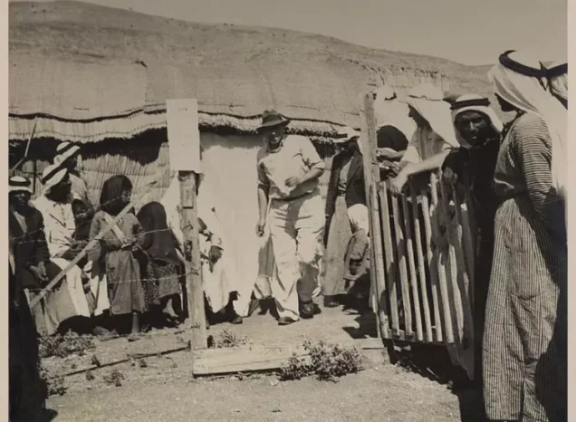

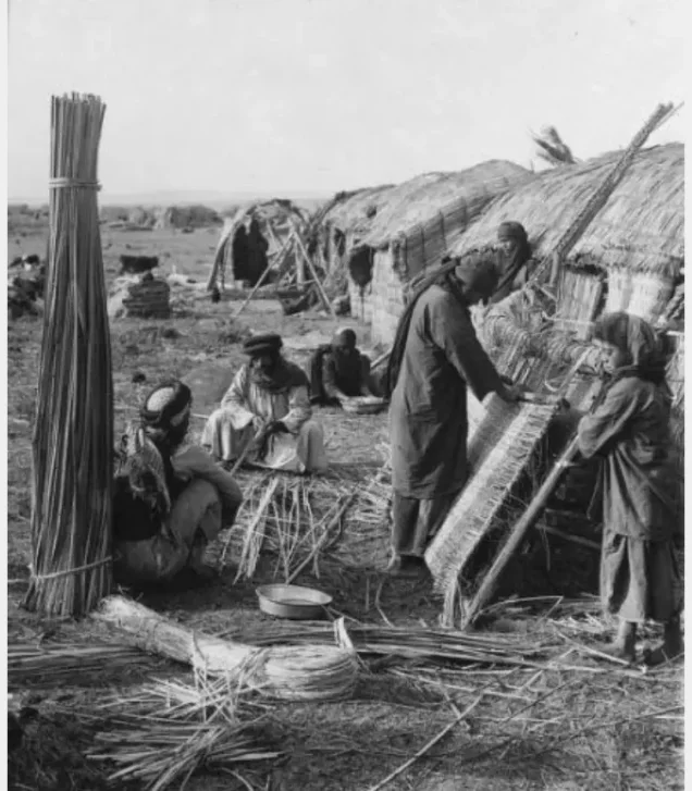
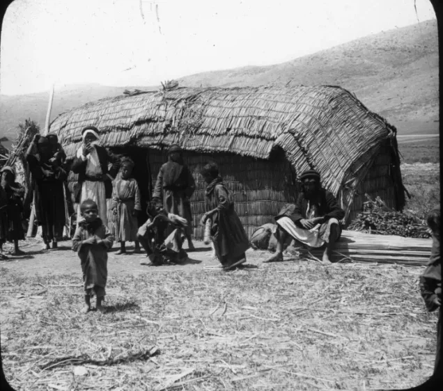

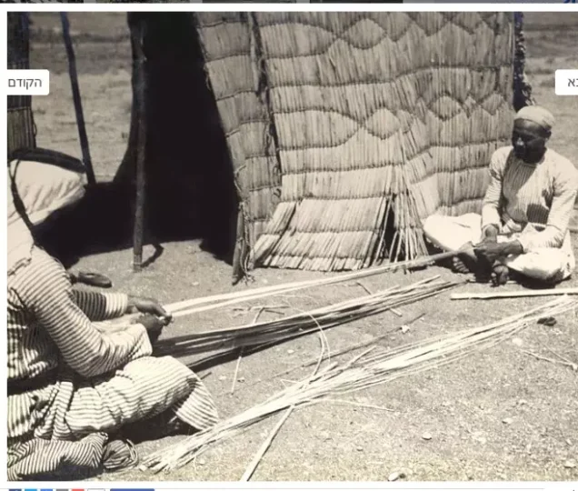
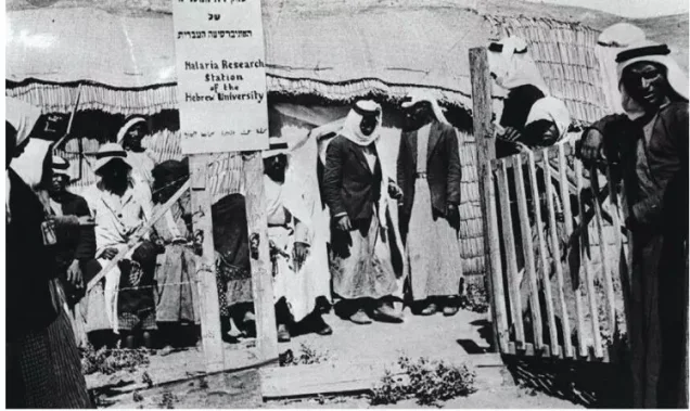


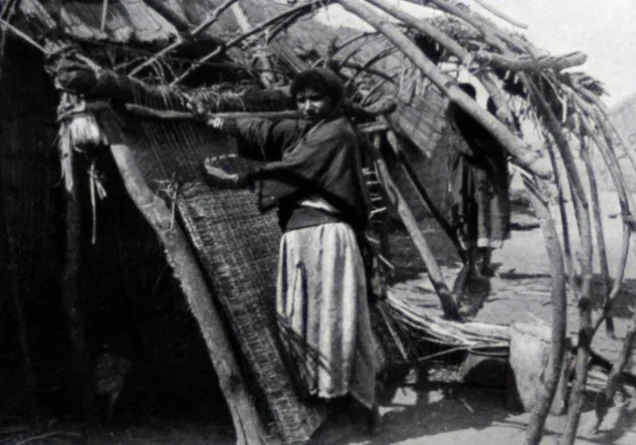


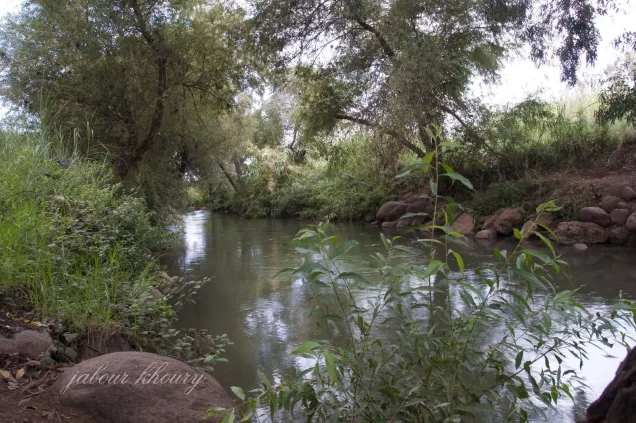




Photos from the village's people
Photos sent in by visitors and published after review.
Add a photo of this village
Log in to add photos of this village.

 Download Our Palestine App
The whole archive in the palm of your hand: depopulated villages, the Nakba, the massacres and Al-Aqsa — free, with no ads to erase the story.
Download Our Palestine App
The whole archive in the palm of your hand: depopulated villages, the Nakba, the massacres and Al-Aqsa — free, with no ads to erase the story.



Comments
No comments yet — be the first to write one.
Add your comment
Name and email are optional. Comments appear after review.