
The depopulated village of Kafr Sabt / District of Tiberias
Subdistrict: Tiberias
Estimated population of Kafr Sabt in 1948: 557
Documented date of depopulation: 22 April 1948
Military context: The village was depopulated following the Haganah’s occupation of Tiberias. The principal sources consulted do not identify a specific unit as having directly occupied Kafr Sabt.
Israeli settlements established on the village’s land before 1948: No settlement could be conclusively identified. Some accounts associate Bayt Gan, now incorporated into Yavne’el, with the area, but the principal academic source does not establish that it stood on Kafr Sabt’s registered land.
Israeli settlements established on the built-up area of the village after 1948: None
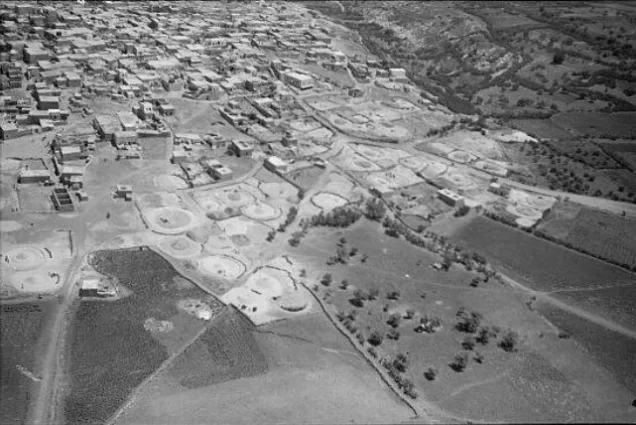
Kafr Sabt was a depopulated Palestinian village in the Tiberias Subdistrict. It lay approximately 10.5 kilometres southwest of the city of Tiberias. Some local geographical accounts give a road distance of about 21 kilometres, comprising approximately 18 kilometres of paved road and three kilometres of unpaved road; these figures describe the route rather than the direct distance.
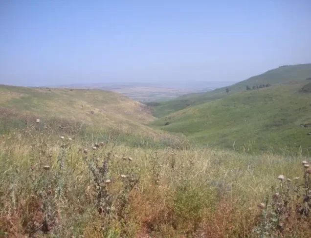
The village stood on a gradually sloping plain in the eastern part of Lower Galilee. It overlooked a wadi to the north, while relatively level ground extended in the other directions.
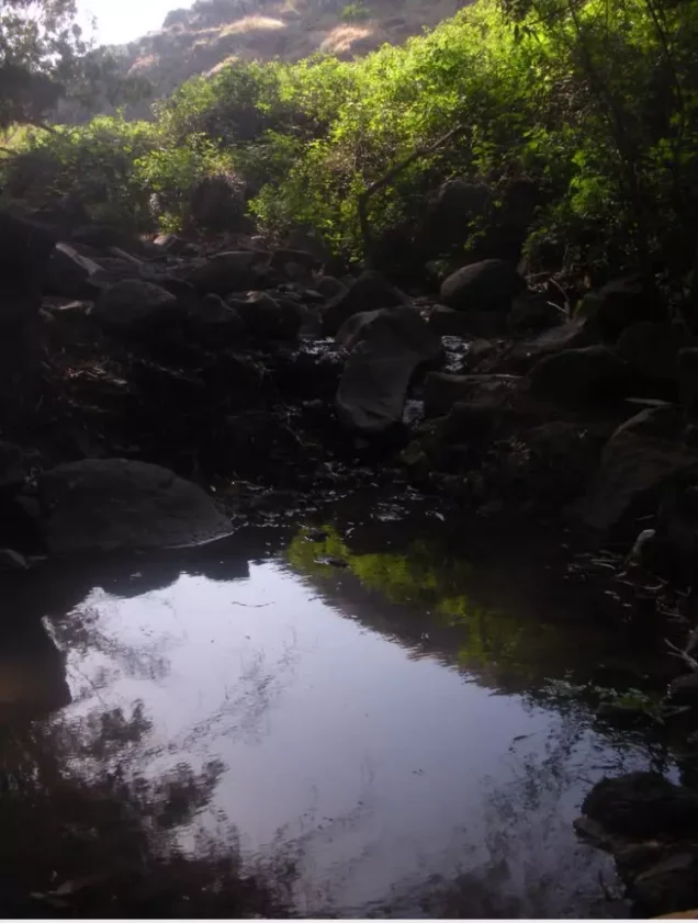
Kafr Sabt was situated at an elevation of approximately 225 metres above sea level. Local geographical descriptions identify Wadi Damiya as beginning about two kilometres west of the village and passing approximately half a kilometre to its north. The wadi was a tributary of Wadi al-Fajjas, which flowed into the Jordan River south of Lake Tiberias. Ayn Kafr Sabt was situated on the village’s northeastern edge.
Boundaries of Kafr Sabt
Kafr Sabt was situated among the following villages, localities, and tribal lands:
- North: Lubya.
- Northeast: Nasir al-Din.
- East: al-Manara.
- South: Kafr Kama.
- Southwest: the encampments of Arab al-Subayh.
- Northwest: al-Shajara.
Architectural Character of Kafr Sabt
In the late nineteenth century, Kafr Sabt was described as a stone-built village surrounded by level agricultural land, with an estimated population of approximately 300. The village had a long, narrow plan extending from east to west. Its closely grouped houses were constructed from a variety of materials, including stone, mud, and cement.
Population of Kafr Sabt
Kafr Sabt had 247 Palestinian Arab inhabitants in 1922. In 1931, the recorded population rose to 340, a figure that included the inhabitants of Umm al-Alaq and Arab al-Mashariqa. The population was estimated at 480 in 1945.
The inhabitants of the village were Muslims.
Population of Kafr Sabt
| Year | Population |
|---|---|
| 1596 | 160 |
| Late nineteenth century | Approximately 300 |
| 1922 | 247 |
| 1931 | 340* |
| 1945 | 480 |
| 1948 estimate | 557 |
| Estimated number of refugees in 1998 | 3,419 |
* The 1931 figure included the inhabitants of Umm al-Alaq and Arab al-Mashariqa. The figures for 1948 and 1998 are demographic estimates rather than contemporary census counts.
Land and Houses in Kafr Sabt
In 1931, Kafr Sabt had 71 houses; this count included dwellings in Umm al-Alaq and those occupied by Arab al-Mashariqa. By 1945, the village’s built-up area covered approximately 30 dunams, while its total registered land area amounted to 9,850 dunams. Of this total, 5,110 dunams, or approximately 51.9 per cent, were recorded under Jewish ownership.
Land Ownership in Kafr Sabt
| Ownership category | Area (dunams)* |
|---|---|
| Palestinian ownership | 4,295 |
| Jewish ownership | 5,110 |
| Public land | 445 |
| Total | 9,850 |
* One dunam equals approximately 1,000 square metres.
Land Use in Kafr Sabt in 1945
| Land-use category | Palestinian ownership (dunams)* | Jewish ownership (dunams)* |
|---|---|---|
| Irrigated land and orchards | 7 | 0 |
| Olive cultivation** | 4 | 0 |
| Cereal cultivation | 4,258 | 5,110 |
| Built-up area | 30 | 0 |
| Cultivable land | 4,265 | 5,110 |
| Uncultivated land*** | 0 | 0 |
| Public uncultivated land | 445 | |
* One dunam equals approximately 1,000 square metres.
** The four dunams planted with olive trees formed part of the land devoted to orchards and should not be added separately to the cultivable-land total.
*** The available village statistics classify the remaining 445 dunams as public land rather than assigning them to Palestinian or Jewish ownership.
Economic Life in Kafr Sabt
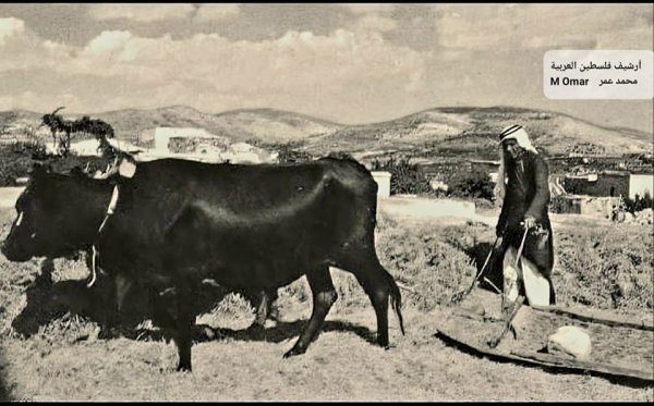
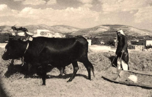
The inhabitants depended principally on agriculture and livestock raising for their livelihoods. Their most important crops were cereals and fruit, cultivated mainly in the southeastern part of the village lands. In 1944–1945, 4,258 dunams of Palestinian-owned land were allocated to cereal cultivation, while seven dunams were irrigated or used for orchards. An additional 5,110 dunams under Jewish ownership were recorded as being devoted to cereal cultivation.
Ruins and Archaeological Remains near Kafr Sabt
Several archaeological sites lay near the village. Khirbat Umm al-Alaq, which constituted an extension of Kafr Sabt, contained the ruins of houses, a fortress, a mosque, cisterns, fragments of columns, building foundations, and olive presses. Khirbat Damiya, northeast of the village, also contained structural foundations and olive presses.
Occupation and Depopulation of Kafr Sabt
According to the account documented by Benny Morris and reproduced in Walid Khalidi’s study, the inhabitants left Kafr Sabt on 22 April 1948 as a direct consequence of the Haganah’s occupation of Tiberias on 18 April. The evidence consulted does not establish that the village was first occupied on 10 July 1948, as stated in some secondary listings. It also does not identify a specific military unit as having launched a direct assault on Kafr Sabt. The most securely documented date is therefore 22 April 1948 for the village’s depopulation during Israel’s occupation of Palestine—the Nakba.
Israeli Settlements and the Lands of Kafr Sabt
In 1949, the village lands became the subject of a dispute between the nearby Israeli settlements of Ilaniyya and Sharona. Approximately 350 dunams were allocated to Ilaniyya, while Sharona attempted to take possession of part of the land; the Israeli Ministry of Agriculture reportedly ordered Sharona to withdraw. Sde Ilan was established west of the village site in 1949, but it was not built on Kafr Sabt’s registered land.
Bayt Gan, now incorporated into Yavne’el, is sometimes associated with the broader area in secondary accounts. However, the principal academic village study does not identify it as a settlement established on Kafr Sabt’s land. The recorded existence of 5,110 dunams under Jewish ownership should not, by itself, be interpreted as proof that Bayt Gan stood within the village’s registered boundaries.
Kafr Sabt Today
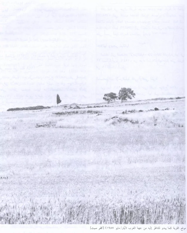
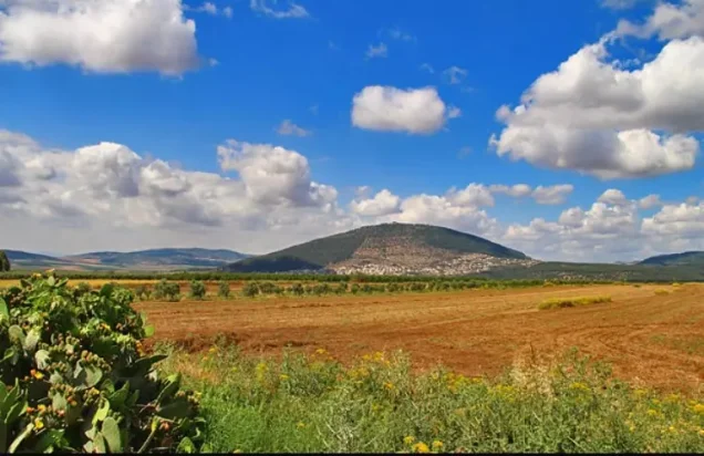
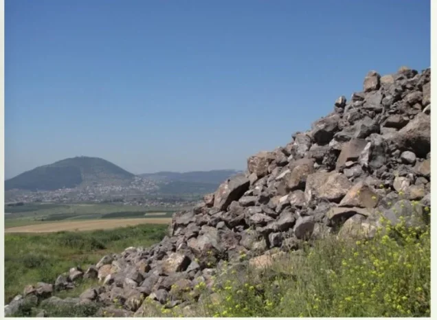
Stone terraces and piles of building stones are the principal surviving indications that a village once stood at the site. Scattered trees and a small number of cactus plants grow among the remains. The surrounding land is cultivated with cereals, fruit trees, and almond trees.
Sources
- Interactive Encyclopedia of the Palestine Question: Kafr Sabt.
- Walid Khalidi, All That Remains: The Palestinian Villages Occupied and Depopulated by Israel in 1948, Institute for Palestine Studies.
- Palestine Remembered: Kafr Sabt, Tiberias Subdistrict.
- Government of Palestine, Village Statistics, April 1945, reproduced by Palestine Remembered.
Photo gallery

Photos from the village's people
Photos sent in by visitors and published after review.
Add a photo of this village
Log in to add photos of this village.
Other villages from Tiberias

 Download Our Palestine App
The whole archive in the palm of your hand: depopulated villages, the Nakba, the massacres and Al-Aqsa — free, with no ads to erase the story.
Download Our Palestine App
The whole archive in the palm of your hand: depopulated villages, the Nakba, the massacres and Al-Aqsa — free, with no ads to erase the story.



Comments
1 comments
-
shayiq Shabir
free palestine
Add your comment
Name and email are optional. Comments appear after review.