
The depopulated village of Khulda / District of Ramla
Subdistrict: Ramla
Estimated population of Khulda in 1948: 325
Date of occupation and depopulation: 3 April 1948; some secondary sources give 6 April 1948
Military force: A Haganah battalion operating during Operation Nachshon
Israeli settlements established on the village lands before 1948: None documented. The Jewish settlement of Hulda, which took its name from the Palestinian village, was established nearby before 1948 but is not identified in the principal sources as having been built on Khulda’s registered lands.
Israeli settlements established on the village lands after 1948: Mishmar David
Khulda was a depopulated Palestinian village situated approximately 12 kilometres south of al-Ramla in British Mandate Palestine. A Haganah battalion occupied the village in early April 1948 during Operation Nachshon, and its Palestinian inhabitants were displaced. The village was systematically demolished on 20 April 1948.
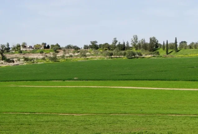
The village stood on a flat-topped hill overlooking extensive areas in every direction. It lay near a road connecting Gaza with the main al-Ramla–Jerusalem road, while a network of secondary roads linked it to al-Ramla and several other major routes. The site has been identified with the locality known to the Crusaders as Huldre.
In the late nineteenth century, Khulda was described as a large village built of stone and mud on the slope of a hill. A masonry well stood to its west. The inhabitants were all Muslims, and the village had a mosque. Water for domestic use was drawn from two wells situated northeast of the village.
Boundaries of Khulda
Khulda was surrounded by the following Palestinian villages:
- North: Saydun.
- Northwest: al-Mansura.
- West: Umm Kalkha.
- Southwest: Qazaza.
- South: Sajad.
- Southeast: Khirbat Bayt Far.
- East: Dayr Muhaysin.
- Northeast: al-Qubab.
Economic Life in Khulda
The inhabitants of Khulda depended primarily on livestock raising and rainfed agriculture. They cultivated cereals and small quantities of vegetables. In 1944/45, 8,994 dunams were allocated to cereal cultivation, while 9 dunams were irrigated or used for orchards.
Land Ownership in Khulda
| Ownership category | Area (dunams)* |
|---|---|
| Palestinian ownership | 9,349 |
| Jewish ownership | 0 |
| Public land | 112 |
| Total | 9,461 |
* One dunam equals approximately 1,000 square metres.
Land Use in Khulda in 1944/45
| Land-use category | Palestinian land (dunams)* | Public land (dunams)* | Total (dunams)* |
|---|---|---|---|
| Irrigated land and orchards | 9 | 0 | 9 |
| Cereal cultivation | 8,994 | 0 | 8,994 |
| Built-up area | 8 | 0 | 8 |
| Cultivable land | 9,003 | 0 | 9,003 |
| Uncultivated land | 338 | 112 | 450 |
* One dunam equals approximately 1,000 square metres.
Population of Khulda
| Year | Population |
|---|---|
| 1596 | 66 |
| 1922 | 53 |
| 1931 | 178 |
| 1945 | 280 |
| 1948 | 325 (estimate) |
| Estimated refugee population in 1998 | 1,995 |
The 1948 and 1998 figures are demographic estimates rather than contemporary census counts.
Number of Houses in Khulda
| Year | Number of houses |
|---|---|
| 1931 | 29 |
| 1948 | 52 (estimate) |
Occupation and Depopulation of Khulda
According to the chronology presented by the Interactive Encyclopedia of the Palestine Question, a Haganah battalion occupied Khulda and the neighbouring village of Dayr Muhaysin on 3 April 1948, at the beginning of Operation Nachshon. The operation formed part of the wider Zionist military campaign to secure the road corridor between the coastal plain and Jerusalem during Israel’s occupation of Palestine—the Nakba.
The Haganah’s own history states that Khulda was taken without fighting. The village’s Palestinian population was displaced, and its buildings were systematically levelled by bulldozers on 20 April, approximately two weeks after its occupation. Some secondary sources date the occupation to 6 April; estimates therefore vary between sources, although the detailed PalQuest chronology gives 3 April.
Fighting later continued in the surrounding area, particularly during the final week of May 1948, when military engagements around al-Latrun extended towards Khulda.
Israeli Settlements on the Lands of Khulda
Mishmar David was established in 1948 on the lands of Khulda, approximately half a kilometre west of the village site. Tal Shachar lies about two kilometres south of the site, but the principal academic reference does not identify it as having been established on Khulda’s lands.
The earlier Jewish settlement of Hulda was established nearby before the Nakba and derived its name from the Palestinian village. It should not be conflated with Khulda itself, and the principal sources consulted do not list it among the settlements established on the village’s registered lands.
Khulda Today
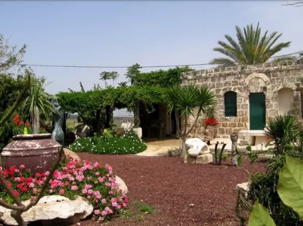
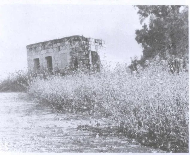
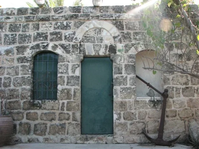
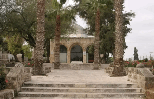
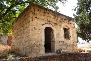
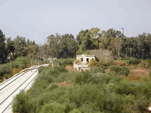
Two village houses remained standing when the site was documented by researchers. Between them stood the walls of two ruined houses, with the iron supports that had once carried their roofs still attached to the masonry. Wild vegetation covered much of the site, while eucalyptus groves and carob and cypress trees grew around it.
Sources
- Interactive Encyclopedia of the Palestine Question: Khulda.
- Interactive Encyclopedia of the Palestine Question: Operation Nachshon.
- Walid Khalidi, ed., All That Remains: The Palestinian Villages Occupied and Depopulated by Israel in 1948, Institute for Palestine Studies.
- Palestine Remembered: Khulda, Ramla Subdistrict.
Photo gallery





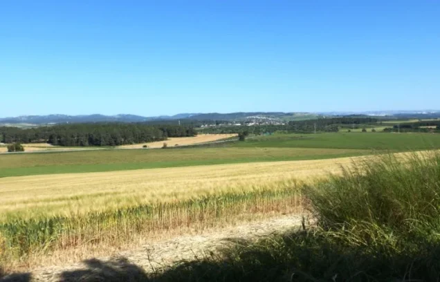
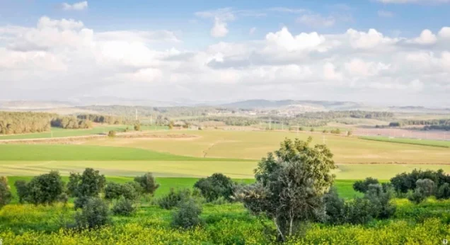

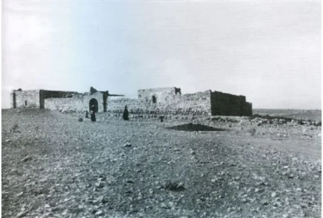


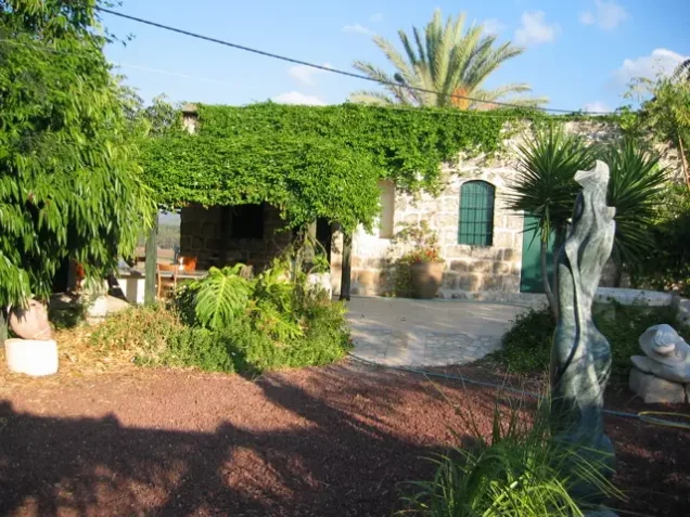


Photos from the village's people
Photos sent in by visitors and published after review.
Add a photo of this village
Log in to add photos of this village.

 Download Our Palestine App
The whole archive in the palm of your hand: depopulated villages, the Nakba, the massacres and Al-Aqsa — free, with no ads to erase the story.
Download Our Palestine App
The whole archive in the palm of your hand: depopulated villages, the Nakba, the massacres and Al-Aqsa — free, with no ads to erase the story.



Comments
No comments yet — be the first to write one.
Add your comment
Name and email are optional. Comments appear after review.