
The depopulated village of Indur / District of Nazareth
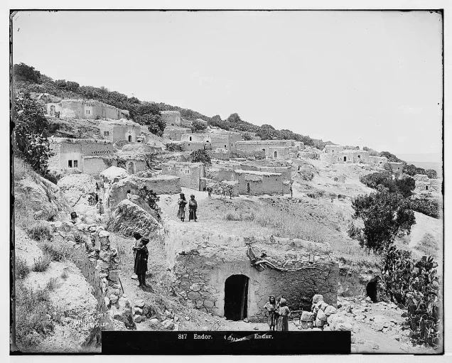
Indur: History, Depopulation, and the Village Today
Subdistrict: Nazareth
Population in 1944/45: 620
Estimated population in 1948: approximately 719–720
Date of occupation and depopulation: disputed; sources cite either 16 or 24 May 1948
Military context: Golani Brigade operations following the capture of the Baysan Valley; attribution to Operation Erez is not supported by the chronology
Attacking unit: Golani Brigade
Israeli settlements established on village land after 1948: None documented
About Indur
Indur was a depopulated Palestinian village in the Nazareth Subdistrict, situated approximately 10.5 kilometres southeast of Nazareth, near the eastern edge of Marj ibn 'Amir in Lower Galilee.
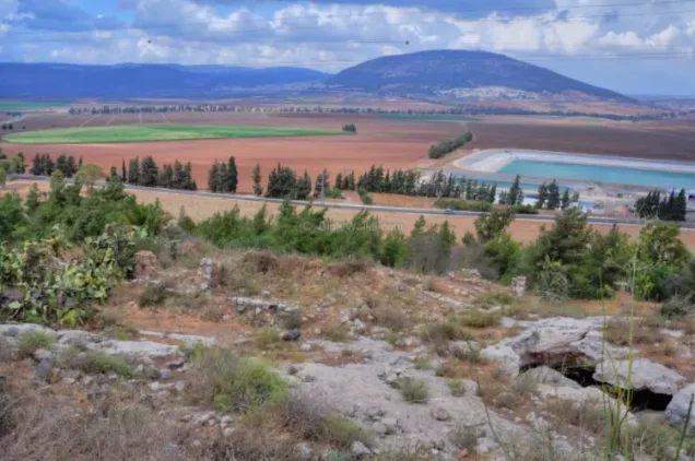
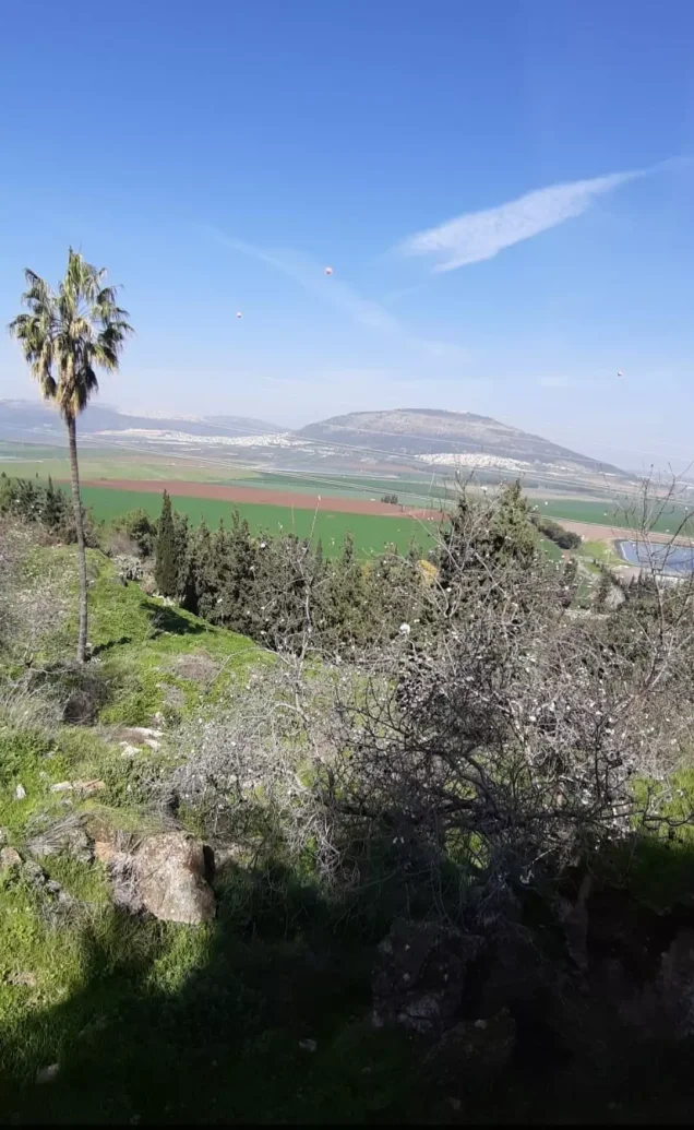
The village stood on the lower northeastern slopes of Mount al-Dahi, facing north and overlooking the plain of Marj ibn 'Amir. Sources place its average elevation at approximately 175 metres above sea level, although some local geographical accounts give a rounded figure of about 200 metres. Mount al-Dahi rises southwest of the village, while Mount Tabor lies farther to the northwest and other hills frame the surrounding landscape.
Indur lay a few kilometres from a highway connecting Tiberias and Nazareth. The pipeline operated by the British-owned Iraq Petroleum Company passed approximately half a kilometre north of the village.
The Name and Ancient Setting
The name Indur probably preserved that of the ancient Canaanite town of 'Ayn Dur, or Endor. The town is mentioned in the Hebrew Bible as the place where Saul consulted a medium before his battle against the Philistines. The precise location of ancient Endor remains debated: it may have occupied the site of Indur itself, Tall al-'Ajjul, or nearby Khirbat al-Safsafa. The Crusaders referred to the locality as Endor.
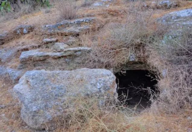
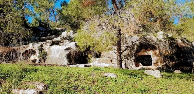
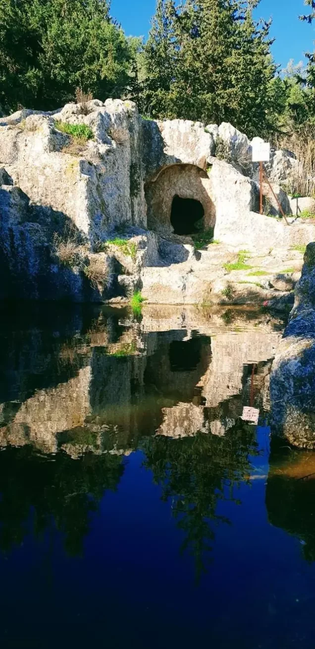
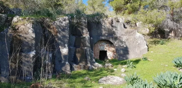
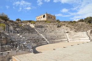
Several small caves were located above the village. Rock-cut cisterns, silos, tombs, ruined buildings, and other remains indicate long-term habitation in the area, although they do not conclusively identify Indur itself with the ancient town.
Notable Figures and Village Society
Among the village's best-known residents was Shaykh Tawfiq Ibrahim, a leader in the 1936–1939 Palestinian revolt against British rule and an associate of Shaykh Izz al-Din al-Qassam.
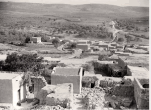
Indur consisted of a winding line of closely arranged houses that followed the contours of the hillside. The houses were constructed from stone and mud or from stone and cement. In the Mandate period, the population was almost entirely Muslim; the 1922 and 1931 censuses each recorded one Christian resident.
Surrounding Villages and Landmarks
Indur lay within the following geographical setting:
- North: Dabburiyya.
- Northwest: Iksal.
- West: Nin.
- Southwest: Al-Dahi.
- South: Na'ura.
- Southeast: Tamra.
- East: Kafr Misr.
- Northeast: Mount Tabor.
These directions describe the village's wider surroundings and should not be interpreted as a precise cadastral account of every shared boundary.
Land Ownership in Indur, 1944/45
| Ownership Category | Area (Dunums) |
|---|---|
| Palestinian ownership | 10,414 |
| Jewish ownership | 0 |
| Public land | 2,030 |
| Total | 12,444 |
* One dunam equals approximately 1,000 square metres.
Land Use in Indur, 1944/45
| Land-Use Category | Area (Dunums) |
|---|---|
| Citrus and bananas | 24 |
| Irrigated land and orchards | 394 |
| Olive groves (included within the orchard category) | 180 |
| Cereal cultivation | 10,061 |
| Built-up area | 29 |
| Cultivable land | 10,479 |
| Uncultivated land | 1,936 |
* One dunam equals approximately 1,000 square metres. Published summaries conflict over cereal cultivation, giving either 9,864 or 10,061 dunums. The table retains 10,061, the figure reproduced from the official 1945 land-use tabulation; estimates vary between sources. Olive groves are included within the orchard category and should not be counted twice.
Population of Indur
| Year | Population | Status of Figure |
|---|---|---|
| 1596 | Approximately 22 | Estimate based on four Muslim households recorded in Ottoman fiscal registers |
| 1922 | 311 | British Mandate census: 310 Muslims and one Christian |
| 1931 | 445 | British Mandate census: 444 Muslims and one Christian |
| 1944/45 | 620 | Official village estimate; all residents were recorded as Muslims |
| 1948 | Approximately 719–720 | Retrospective demographic estimate, not a contemporaneous census count |
| Estimated refugees and descendants, 1998 | Approximately 4,417 | Retrospective demographic estimate, not an official census count |
Number of Houses in Indur
| Year | Number of Houses | Status of Figure |
|---|---|---|
| 1931 | 75 | British Mandate census |
| 1948 | Approximately 121 | Retrospective estimate rather than a contemporaneous census count |
Economic Life
Grain cultivation formed the backbone of Indur's economy. The official 1945 land-use tabulation records 10,061 dunums under cereals, 394 dunums of irrigated land and orchards, and 24 dunums devoted to citrus and bananas. Olive groves accounted for 180 dunums within the orchard area. The villagers also raised livestock.
Indur had significant local water resources. The villagers relied principally on Ayn al-Dallafa, a spring located inside a cave on the southern side of the village and remembered for its clear freshwater. Ayn al-Safsafa provided another source of water.
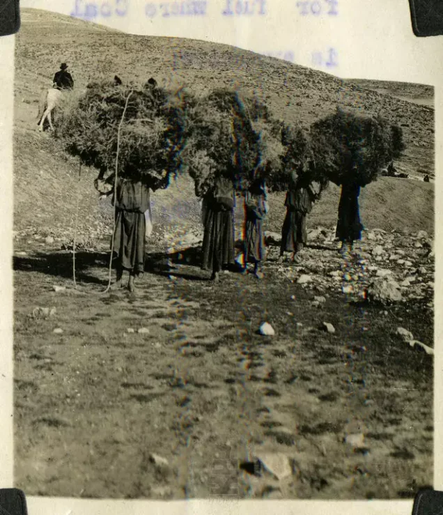
Ottoman fiscal records from 1596 show that the villagers paid taxes on wheat, barley, olives, goats, and beehives.
Education
An elementary school was established in Indur during the Ottoman period and also served pupils from neighbouring Nin. The school was later closed by the British Mandate authorities.
Occupation and Depopulation
The date on which Israeli forces occupied Indur is disputed. Walid Khalidi's account, drawing on Benny Morris, gives 24 May 1948 and suggests that the villagers left because of a military assault and the influence of the earlier fall of nearby Baysan. Other research based on military records places the Golani Brigade's occupation of the village on 16 May. The evidence therefore supports identifying the attacking formation as the Golani Brigade while presenting the date as uncertain between 16 and 24 May 1948.
Although most of the Baysan Valley had been captured before 15 May during Operation Gideon, Golani units continued operations described in Israeli accounts as “clearing and defending” the wider area into early June. Indur's depopulation belongs to this broader military context. It should not be attributed to Operation Erez, which began only on 28 May and was directed toward the Mount Gilboa area after both proposed dates for Indur's capture.
Accounts agree that the population was displaced and the village largely destroyed. Some residents became refugees outside the territory that became Israel, while others remained internally displaced Palestinians.
Israeli Settlements Near the Village
No Israeli settlement was established directly on Indur's village land. Davrat, founded in 1946, lies nearby to the west of the former village site, close to the boundary between the lands of Indur and Dabburiyya.
Indur Today
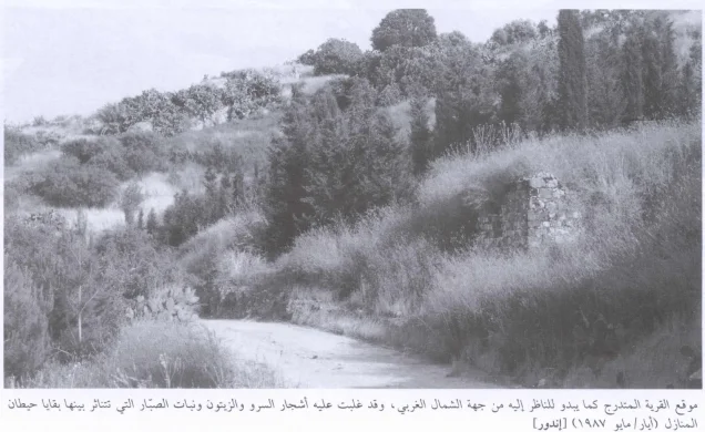
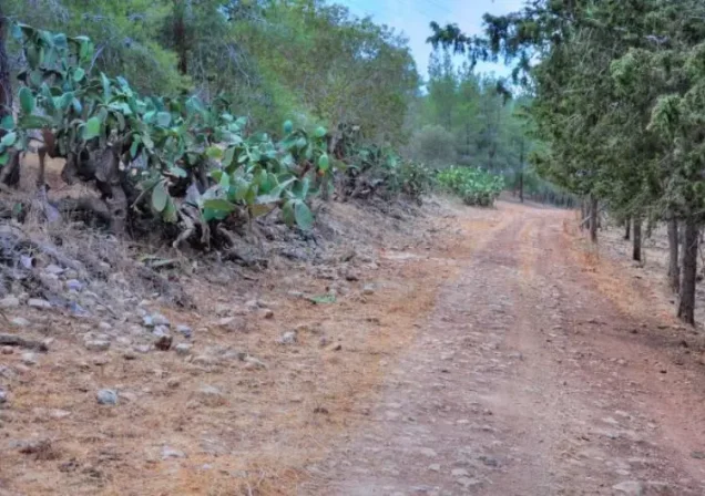
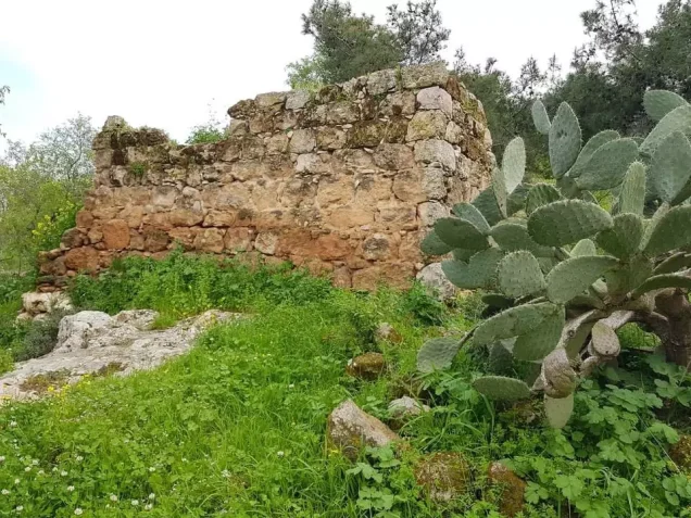
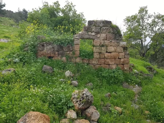
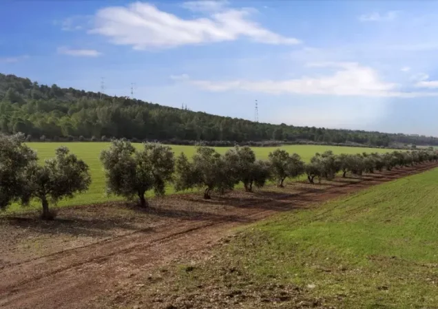
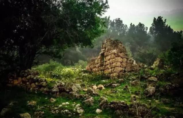
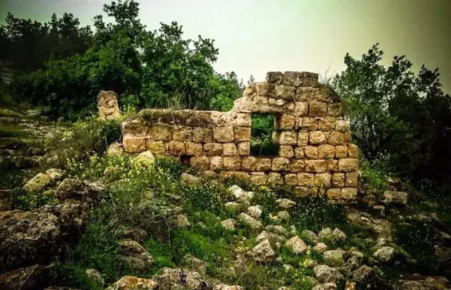
Several partially ruined walls remain at the village site. Date palms, doum palms, fig trees, and almond trees grow on the former village lands. The surrounding level ground is cultivated by Israelis, while the hilly areas are used for grazing livestock.
Sources
Photo gallery
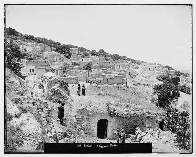
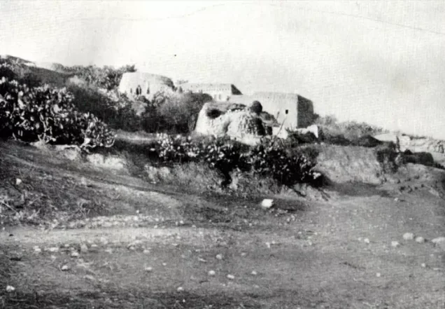
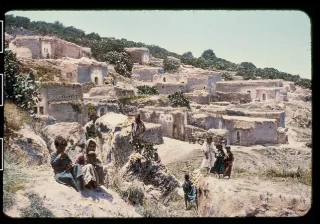
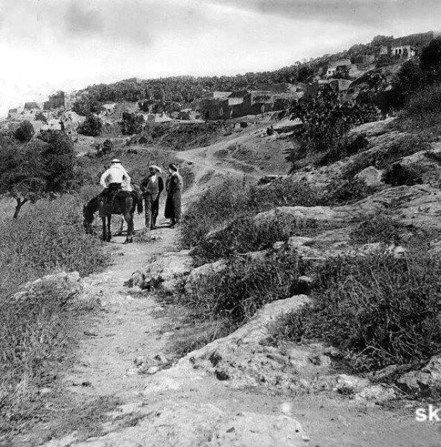
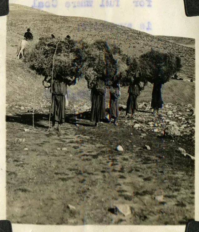
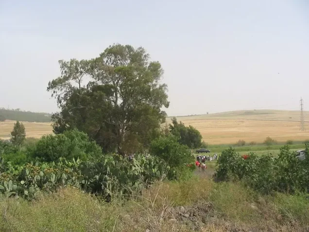
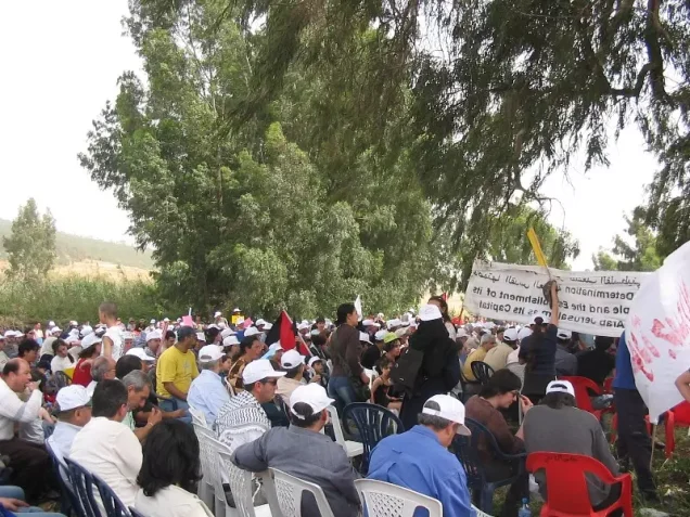

Photos from the village's people
Photos sent in by visitors and published after review.
Add a photo of this village
Log in to add photos of this village.
Other villages from Nazareth
 Download Our Palestine App
The whole archive in the palm of your hand: depopulated villages, the Nakba, the massacres and Al-Aqsa — free, with no ads to erase the story.
Download Our Palestine App
The whole archive in the palm of your hand: depopulated villages, the Nakba, the massacres and Al-Aqsa — free, with no ads to erase the story.



Comments
No comments yet — be the first to write one.
Add your comment
Name and email are optional. Comments appear after review.