
The depopulated village of Huj / District of Gaza
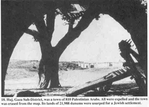
Subdistrict: Gaza Subdistrict
Estimated Palestinian population of Huj in 1948: Approximately 940
Date of occupation and depopulation: 31 May 1948
Military unit: Negev Brigade of the Palmach
Israeli settlements established on Huj’s land before 1948: Dorot, established in 1941 on land traditionally belonging to Huj
Israeli settlements established on the village site after 1948: No civilian settlement was established directly over the village centre; an Israeli sheep farm was established at the site, and Dorot took control of additional village land
Huj was a depopulated Palestinian village located approximately 15 kilometres northeast of Gaza. It stood at the intersection of several secondary roads connecting it with Gaza, Bir al-Sabi', Burayr, Dimra, Hiribya, and al-Majdal. Some modern geographical descriptions place the village approximately 3 kilometres east of the Barbara–Gaza road and about 6 kilometres west of the later Eilat–Ashkelon oil pipeline; the pipeline did not form part of the village’s pre-1948 landscape.
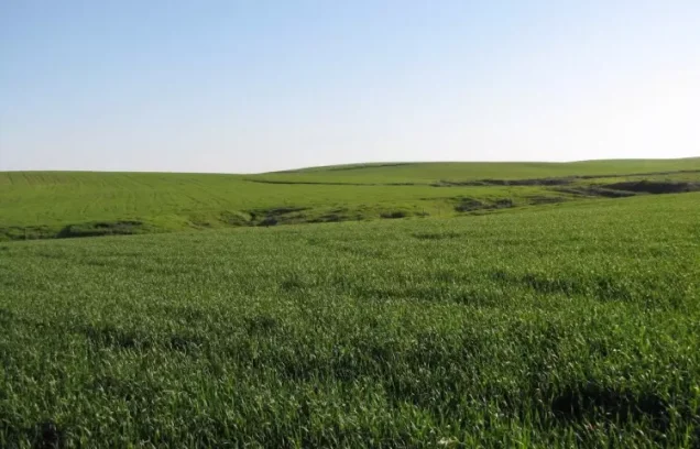
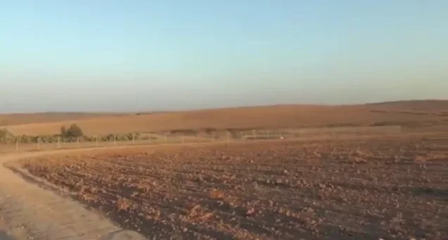
The village was situated in a hilly area on the northern edge of the Naqab, with two hills overlooking it from the east and west.
The lands associated with Huj covered a total area of 21,988 dunams. The 1944–1945 statistical unit included both the Palestinian village and the nearby settlement of Dorot.
Boundaries of Huj
Huj was situated among the following Palestinian villages, towns, and localities:
- North: Simsim.
- Northwest: Najd.
- West: Bayt Hanun.
- Southwest: Gaza.
- South: lands inhabited by Palestinian Bedouin communities associated with the Bir al-Sabi' region.
- Southeast: Kawfakha.
- East: al-Jammama.
- Northeast: Burayr.
History and Architecture of Huj
Huj has been identified with the ancient locality of Oga, which appears on the sixth-century Madaba Map. The modern village was established in the early nineteenth century during the administration of Mustafa Bey, governor of Gaza and Yafa from 1818 to 1820. He reportedly offered land without charge and constructed a police station to improve security and encourage residents of Gaza to settle there.
When the American scholar Edward Robinson visited Huj in 1838, he described a village of mud houses with a population of between 200 and 300. By the late nineteenth century, Huj had a rectangular plan and buildings constructed from adobe brick. In the period after 1917, the village initially expanded eastwards and later westwards, preserving the agricultural land east and northeast of its built-up area.
Population Records for Huj
| Year | Palestinian population* | Jewish population of Dorot* | Combined statistical total* |
|---|---|---|---|
| 1838 | Approximately 200–300 | — | Approximately 200–300 |
| 1922 | 426 | — | 426 |
| 1931 | 618 | — | 618 |
| 1945 | 810 | 230 | 1,040 |
| 1948 | Approximately 940 | Not included in the village estimate | Not applicable |
| Estimated number of Palestinian refugees in 1998 | 5,770 | Not applicable | Not applicable |
* The 230 Jewish residents recorded in 1945 lived in Dorot, within the wider administrative unit, and not in the Palestinian village of Huj. The figures for 1948 and 1998 are demographic estimates rather than contemporaneous census counts. Estimates vary between sources.
Land Ownership in Huj
| Ownership category | Land area (dunams)* |
|---|---|
| Palestinian ownership | 16,741 |
| Jewish ownership | 4,236 |
| Public land | 1,011 |
| Total | 21,988 |
* One dunam equals approximately 1,000 square metres. The official statistical unit included Dorot.
Land Use in Huj in 1944–1945
| Land-use category | Palestinian ownership (dunams)* | Jewish ownership (dunams)* | Public land (dunams)* | Total (dunams)* |
|---|---|---|---|---|
| Irrigated land and orchards | 93 | 16 | 0 | 109 |
| Cereal cultivation | 16,236 | 4,035 | 0 | 20,271 |
| Built-up area | 34 | 40 | 0 | 74 |
| Cultivable land | 16,329 | 4,051 | 0 | 20,380 |
| Uncultivated land | 378 | 145 | 1,011 | 1,534 |
* One dunam equals approximately 1,000 square metres. The official statistical unit included Dorot.
Economic Life in Huj
Huj possessed plentiful groundwater. Water for domestic use came from a well approximately 200 feet, or 61 metres, deep inside the village. Other wells were located in the beds of the surrounding wadis.
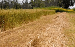
The villagers cultivated cereals, almonds, and fruit, including grapes, figs, and apricots. In 1944–1945, 16,236 dunams under Palestinian ownership were devoted to cereal cultivation, while 93 dunams were irrigated or used for orchards.
Occupation and Depopulation of Huj
During an Israeli military advance northwards, the Negev Brigade of the Palmach ordered the Palestinian inhabitants of Huj to leave their homes on 31 May 1948. Israeli historian Benny Morris states that the villagers were expelled westwards, after which their property was looted and their houses were demolished with explosives.
Morris notes that several Zionist officials had regarded Huj as a “friendly” village. Nevertheless, the dominant military assessment treated it as unreliable because it lay near the front line with the Egyptian army. The inhabitants were consequently expelled despite their earlier relations with neighbouring settlements.
On 4 August 1948, representatives of Dorot, Nir Am, and Ruhama submitted a complaint to David Ben-Gurion concerning the treatment of the inhabitants of Huj. Ben-Gurion did not directly reverse the expulsion but expressed the hope that the military command would avoid comparable actions and remedy past conduct where possible.
In September 1948, the displaced villagers petitioned the Israeli authorities for permission to return, arguing that the truce was holding and that the area had become quiet. Two Israeli officials supported their case, but military authorities rejected the request on security grounds and out of concern that permitting their return might establish a precedent. Minister of Minority Affairs Bechor Shitrit recommended that they be allowed to return to a location farther inside Israeli-held territory, though not necessarily to Huj itself. The villagers were ultimately prevented from returning.
Israeli Settlements and Facilities on the Land of Huj
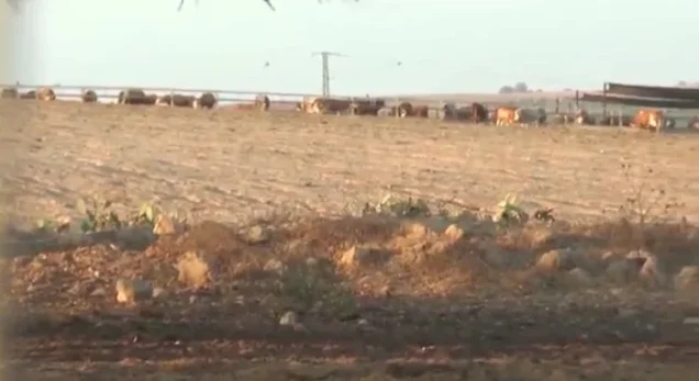
Dorot was established in 1941 on land that had traditionally belonged to Huj. After the village’s occupation and depopulation in 1948, Dorot took control of additional portions of its land. No separate civilian settlement is documented as having been constructed directly over the centre of Huj, although an Israeli sheep farm was established at the village site.
Havat Shikmim, or Sycamore Ranch, was also established on land belonging to Huj and was later purchased by Ariel Sharon in 1972.
Huj Today
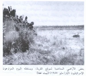
Only one dilapidated building remains from Huj. It is a concrete structure with rectangular doors and windows and a flat roof. Its original function is uncertain, and it was later used as an agricultural storehouse.
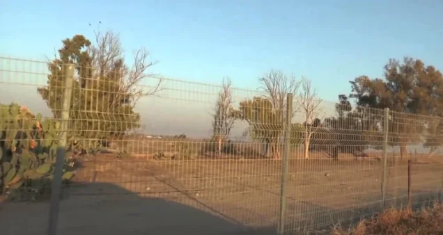
The remains of a watering trough can also be identified. Sycamore and cactus plants grow along the eastern and western edges of the site, where an Israeli sheep farm was established.
Sources
- Interactive Encyclopedia of the Palestine Question – Huj.
- Palestine Remembered – Huj.
- Government of Palestine, Village Statistics, April 1945.
- Walid Khalidi, All That Remains: The Palestinian Villages Occupied and Depopulated by Israel in 1948, Institute for Palestine Studies, 1992, pp. 102–103.
- Benny Morris, The Birth of the Palestinian Refugee Problem Revisited, Cambridge University Press, 2004, pp. 306–307 and 332–333.
- Government of Palestine, Palestine: Report and General Abstracts of the Census of 1922.
- Government of Palestine, Census of Palestine, 1931: Population of Villages, Towns and Administrative Areas.
Photo gallery
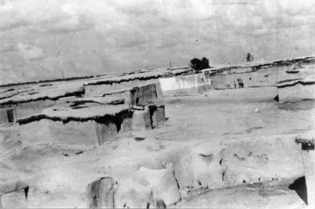
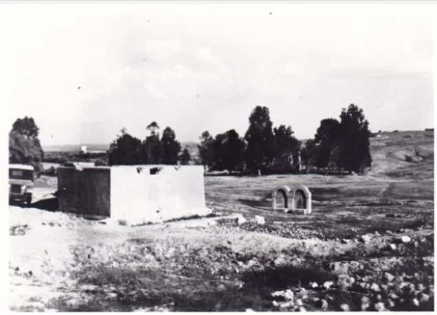
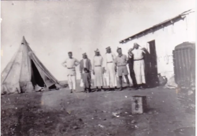


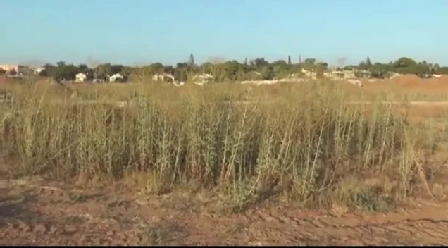
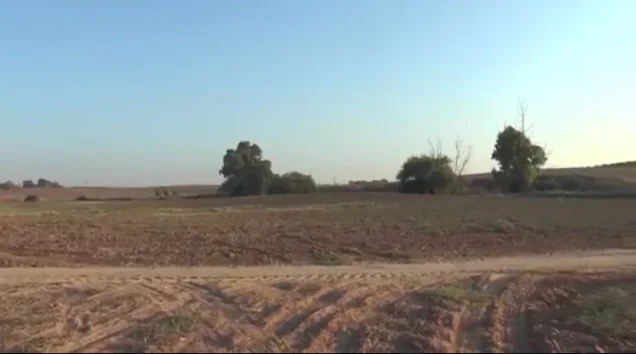

Photos from the village's people
Photos sent in by visitors and published after review.
Add a photo of this village
Log in to add photos of this village.
Other villages from Gaza
 Download Our Palestine App
The whole archive in the palm of your hand: depopulated villages, the Nakba, the massacres and Al-Aqsa — free, with no ads to erase the story.
Download Our Palestine App
The whole archive in the palm of your hand: depopulated villages, the Nakba, the massacres and Al-Aqsa — free, with no ads to erase the story.



Comments
No comments yet — be the first to write one.
Add your comment
Name and email are optional. Comments appear after review.