
The depopulated village of Al-Faluja / District of Gaza
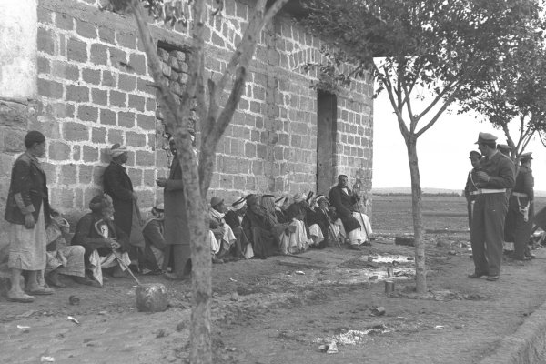
Estimated population of al-Faluja in 1948: 5,417
Transfer to Israeli military control: The evacuation of Egyptian forces began on 26 February 1949, and the transfer was completed by early March 1949. The village’s Palestinian population was displaced in the following weeks, with depopulation completed by 21–22 April 1949.
Military operation associated with the siege: Operation Yoav
Israeli military formations involved in Operation Yoav: The Giv‘ati, Yiftach, Negev, and Har’el brigades, together with elements of the 8th Armoured Brigade. Al-Faluja itself was ultimately transferred to Israeli control under the Egyptian–Israeli General Armistice Agreement rather than captured in a final assault.
Israeli localities established on or later extending onto al-Faluja’s lands: Shahar, Nir Chen, Noga, Nehora, and part of Qiryat Gat.
Al-Faluja: Location
- Al-Faluja was a depopulated Palestinian village in the Gaza Subdistrict, located approximately 30 kilometres northeast of Gaza.
- The village stood between Gaza and Hebron at an average elevation of approximately 100 metres above sea level. Wadi al-Faluja bordered the village on several sides.
- Its lands covered 38,038 dunams and adjoined the lands of Iraq al-Manshiyya, Jusayr, Hatta, Karatiyya, and Iraq Suwaydan, among other neighbouring localities.
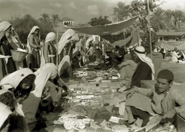
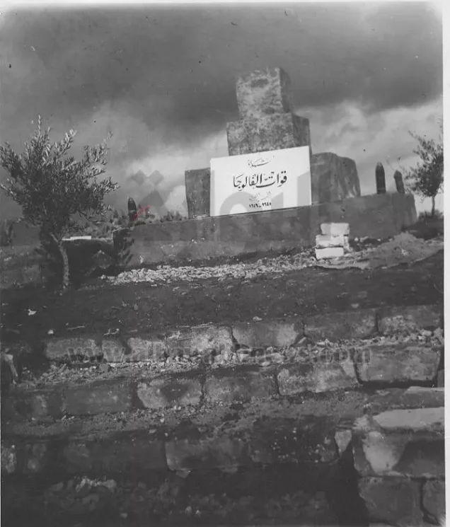
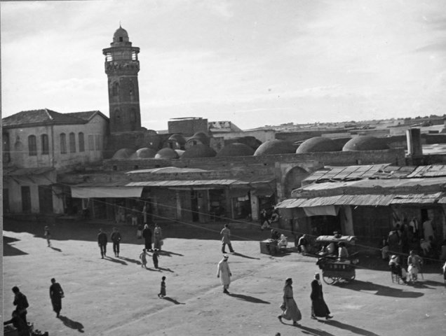
- Before 1948, al-Faluja was an important regional commercial centre whose market attracted merchants and residents from neighbouring villages, including Barqusya, Bi‘lin, Summil, and Zayta. The village had a large historic mosque consisting of three domed halls, one of which contained the tomb of Shaykh al-Faluji. It also contained several minor shrines associated with religious figures and individuals remembered in local tradition. A boys’ school opened in 1919, followed by a girls’ school in 1940. An archaeological site known as Khirbat al-Jils was also reported within the village’s vicinity.
- The village occupied hilly terrain on the coastal plain. Wadi al-Faluja originally bordered it to the east, north, and west. The depth of the watercourse gave the village a measure of natural defensive protection.
- Al-Faluja stood at the centre of a road network connecting it with Hebron, Jerusalem, Jaffa, Gaza, and other urban and rural centres. According to village tradition, the settlement developed at a site formerly known as Zurayq al-Khandaq. The name “Zurayq,” derived from the Arabic word for blue, was locally associated with the blue-flowered lupine plant that grew around the site.
Boundaries of al-Faluja
Al-Faluja was situated among the following villages, towns, and tribal lands:
- North: Hatta
- Northwest: Karatiyya
- West: Kawkaba
- Southwest, south, and southeast: lands associated with Bedouin communities of the Beersheba region
- East: Iraq al-Manshiyya
- Northeast: Jusayr
Origin of the Name al-Faluja
The locality was formerly known as Zurayq al-Khandaq. It was subsequently renamed al-Faluja in commemoration of the Iraqi Sufi master Shihab al-Din al-Faluji, who came to Palestine from the Iraqi city of Fallujah in the early fourteenth century, settled near the site, and was buried there.
Population of al-Faluja
- The village had an estimated population of 5,417 in 1948. A later demographic estimate placed the number of refugees descended from or associated with the village at approximately 33,267 in 1998. These post-1948 figures are estimates rather than census totals.
- The inhabitants of al-Faluja were Muslim. The village had a large mosque and two schools, one for boys and another for girls.
Economic Life in al-Faluja
Most residents of al-Faluja depended on rainfed agriculture, cultivating cereals, vegetables, and fruit. According to the 1944/45 Village Statistics, 36,590 dunams were allocated to cereal cultivation, while 87 dunams consisted of irrigated land or orchards. Commerce was the village’s second most important economic activity.
A weekly market was held from Wednesday afternoon until Thursday afternoon and attracted merchants and customers from the surrounding region. The local council maintained a designated market area with the necessary facilities. Residents also engaged in animal husbandry, poultry raising, grain milling, embroidery, weaving, pottery, and textile dyeing.
Land Ownership in al-Faluja
| Ownership category | Area (dunams)* |
|---|---|
| Palestinian ownership | 37,252 |
| Jewish ownership | 0 |
| Public land | 786 |
| Total | 38,038 |
* One dunam equals approximately 1,000 square metres.
Land Use in al-Faluja
| Land-use category | Total area (dunams)* |
|---|---|
| Irrigated land and orchards | 87 |
| Cereal cultivation | 36,590 |
| Built-up area | 517 |
| Cultivable land | 36,677 |
| Uncultivated land | 844 |
* One dunam equals approximately 1,000 square metres. The cultivable-land total includes land used for cereals, irrigation, and orchards; these categories should therefore not be added together as separate components of the village’s total area.
Population of al-Faluja
| Year | Population* |
|---|---|
| 1596 | 413 |
| 1922 | 2,482 |
| 1931 | 3,161 |
| 1945 | 4,670 |
| 1948 | 5,417 |
| Estimated refugee population, 1998 | 33,267 |
* The figures for 1922 and 1931 are census totals. The 1945 figure is an official British Mandate estimate, while the figures for 1948 and the refugee population in 1998 are later demographic estimates.
Number of Houses in al-Faluja
| Year | Number of houses |
|---|---|
| 1931 | 685 |
| 1948 | 1,173 |
* The 1931 figure is drawn from the British Mandate census. The figure given for 1948 is a later estimate rather than an official census count.
Occupation and Depopulation of al-Faluja
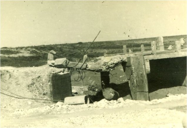
Al-Faluja was attacked on several occasions during 1948. On 14 March, a battle involving a Haganah-protected convoy reportedly resulted in the deaths of 37 Arabs and seven Jews. A Haganah demolition unit subsequently returned and destroyed ten buildings, including the three-storey municipal building. Earlier hostilities had also been reported on 24 February 1948.
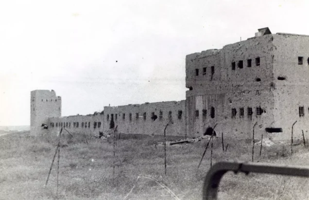
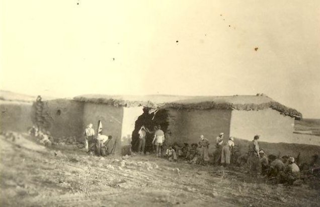
During Operation Yoav in October 1948, Israeli forces isolated an Egyptian brigade in al-Faluja and neighbouring Iraq al-Manshiyya. The resulting enclave became known as the “Faluja Pocket.” Egyptian troops and several thousand Palestinian civilians remained under siege there until the Egyptian–Israeli General Armistice Agreement was signed in Rhodes on 24 February 1949.
Recalling the Nakba and the siege imposed on the town in 1948, Dr Abu Tabbana provided the following account:
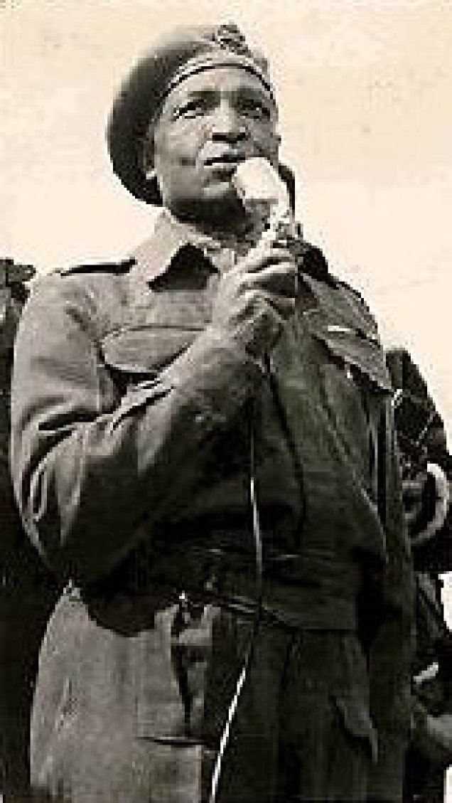
“In 1948, al-Faluja experienced the attacks, siege, and displacement that affected Palestinian towns and villages. It was distinguished, however, by the length of its resistance and was among the last Palestinian localities to pass under Israeli control, in early 1949. The town was besieged during the final months of 1948 while Egyptian army formations remained inside it. Among the Egyptian officers associated with the Faluja Pocket were Gamal Abdel Nasser, Muhammad Naguib, and Sayyid Taha Bey. The siege interrupted military and food supplies, leaving the troops and the civilian population enclosed within the area. Village residents consequently shared their available food and other provisions with the Egyptian soldiers.”
The exact number of Palestinians and Egyptians killed during the siege is not firmly established. Some local accounts place the number at approximately 400, but this figure could not be independently verified and should be treated as an estimate rather than a definitive total.
The armistice agreement provided for the withdrawal of Egyptian troops and stipulated that civilians wishing to remain in al-Faluja and Iraq al-Manshiyya were to be permitted to do so, with their persons, homes, property, and possessions protected. The supervised Egyptian withdrawal began on 26 February 1949.
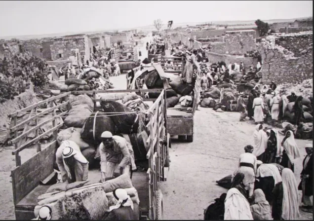
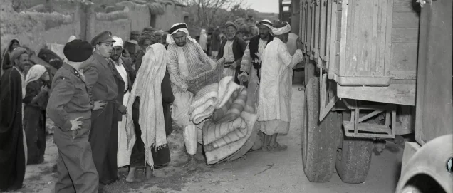
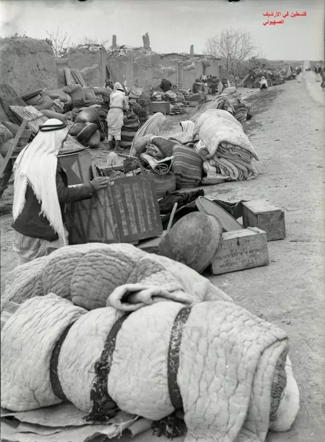
Only a portion of the civilian population initially left with the Egyptian troops. United Nations observers subsequently documented intimidation and abuses by members of the local Israeli garrison, including beatings, robberies, threats, and attempted rape. These actions, together with a campaign of intimidation, compelled the remaining Palestinian population to leave for the Gaza Strip and the Hebron area. The depopulation of the Faluja Pocket was completed by approximately 21–22 April 1949, after which al-Faluja was largely demolished.
Israeli Localities on the Lands of al-Faluja
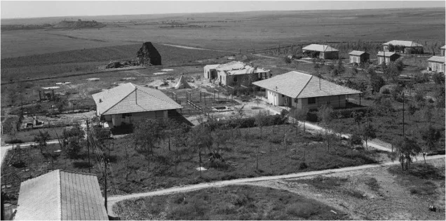
- The Israeli town of Qiryat Gat was established in 1954 primarily on the lands of Iraq al-Manshiyya, between that village and al-Faluja. Its subsequent expansion extended onto part of al-Faluja’s lands.
- Shahar, Noga, and Nir Chen were established on al-Faluja’s lands in 1955. Nehora was established on village land in 1956.
Al-Faluja Today
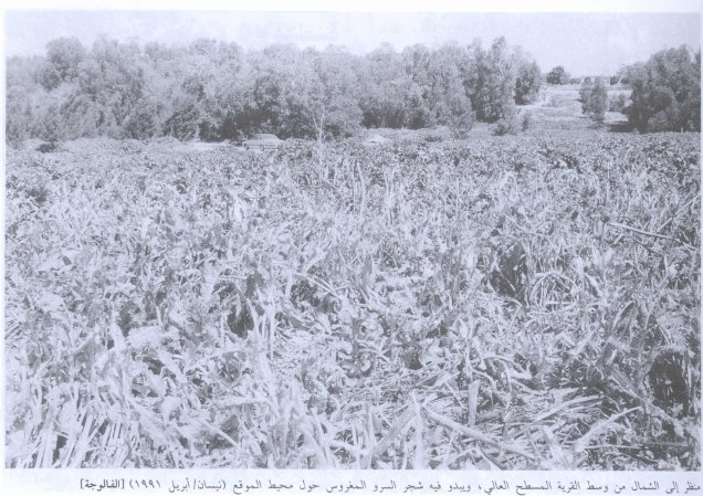
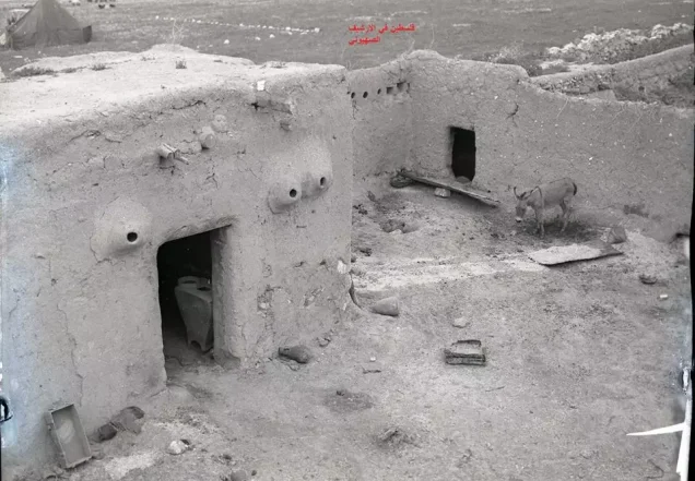
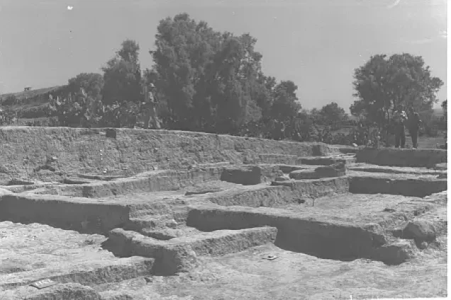
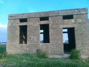
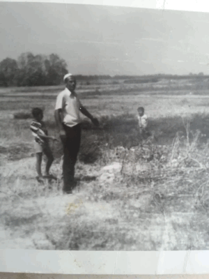
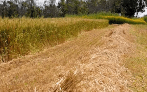
The foundations of the village mosque and small fragments of its walls remain at the site, where piles of rubble are also visible. A deteriorating well and a cistern survive, together with eucalyptus, cactus, Christ’s-thorn, and olive trees. Israeli government buildings and an airfield were constructed on the surrounding land, much of which has been cultivated.
Sources
Photo gallery
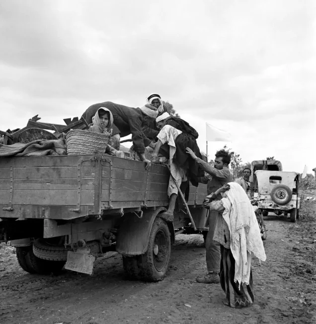
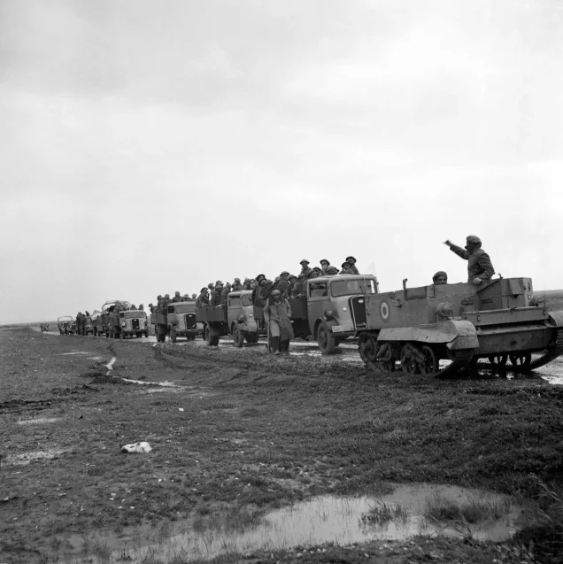
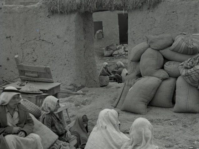
Photos from the village's people
Photos sent in by visitors and published after review.
Add a photo of this village
Log in to add photos of this village.

 Download Our Palestine App
The whole archive in the palm of your hand: depopulated villages, the Nakba, the massacres and Al-Aqsa — free, with no ads to erase the story.
Download Our Palestine App
The whole archive in the palm of your hand: depopulated villages, the Nakba, the massacres and Al-Aqsa — free, with no ads to erase the story.



Comments
No comments yet — be the first to write one.
Add your comment
Name and email are optional. Comments appear after review.