
The depopulated village of Wadi al-Hawarith / District of Tulkarm

Subdistrict: Tulkarm
Estimated population of Wadi al-Hawarith in 1948: Approximately 1,550; estimates vary between sources
Date of occupation and depopulation: The principal displacement occurred around 15 March 1948; the village houses were destroyed in late April and early May 1948
Military unit: Haganah units, assisted during the demolition phase by residents of neighbouring Jewish settlements
Settlements established on the village’s lands before 1948: Kefar ha-Ro’e and Ge’uley Teyman
Settlements established on the village’s built-up area after 1948: None documented
Wadi al-Hawarith was located approximately 16.5 km northwest of Tulkarm.
Wadi al-Hawarith was a Palestinian village in the Tulkarm Subdistrict. Its northern and southern sections were depopulated during the Nakba in 1948, and most of their houses were subsequently destroyed.
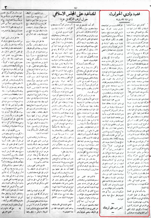
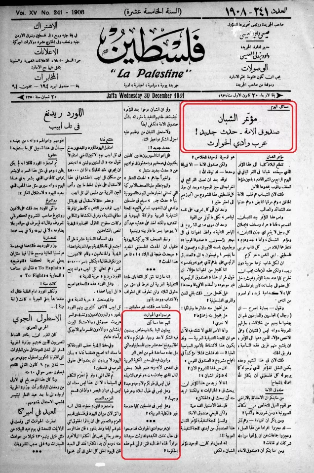
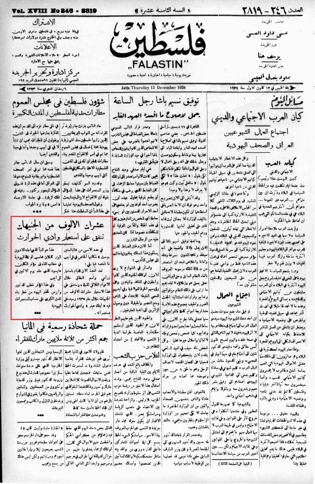
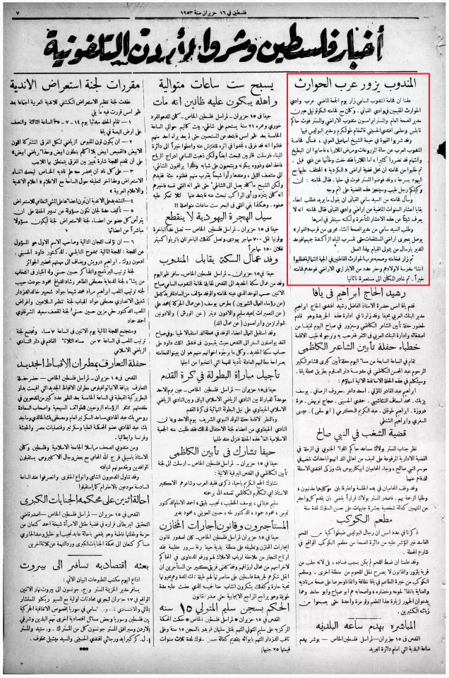
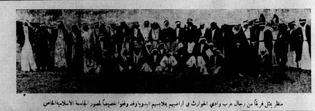
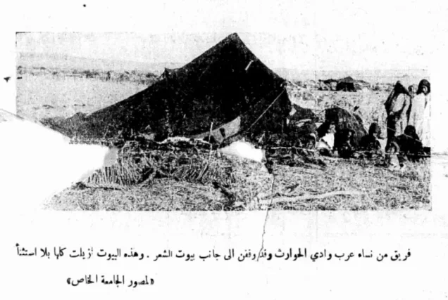
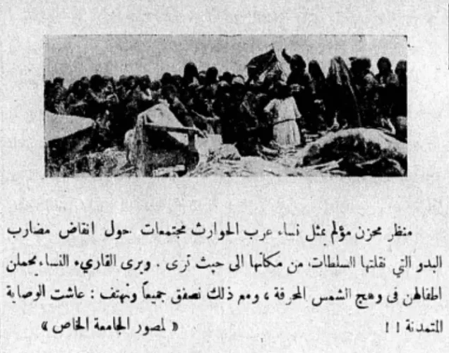
The northern and southern sections of the village stood on a plain west of the main coastal road. The British Mandate’s 1945 village statistics treated Wadi al-Hawarith North and Wadi al-Hawarith South as separate statistical entities. Until 1929, the inhabitants cultivated extensive areas as tenant farmers. They subsequently entered a prolonged struggle with the Jewish National Fund, which acquired a large tract from absentee owners and initiated legal proceedings to remove the tenants.
The villagers resisted the measures taken to dispossess them of land they and their predecessors had cultivated and used for generations. The dispute became an important Palestinian national issue during the 1930s and illustrated the conflict between registered absentee ownership, customary cultivation rights, and Zionist land acquisition under the British Mandate.
The locality contained several marshy areas, locally known as bassas. These reportedly included Bassat al-Shaykh Muhammad in the western section, Bassat al-Shaykh Hasan in the southeast, and Bassat al-Shaykh Salih in the eastern section. The two principal sections of the village occupied the plain west of the coastal road.
Boundaries of Wadi al-Hawarith
Wadi al-Hawarith was situated among the following villages and localities:
North: ‘Arab al-Nufay‘at.
West: The Mediterranean Sea.
South: Umm Khalid.
Southeast: Wadi Qabbani.
East: Raml Zayta, also known as Qazzaza.
Northeast: al-Khudayra.
Origin of the Name Wadi al-Hawarith
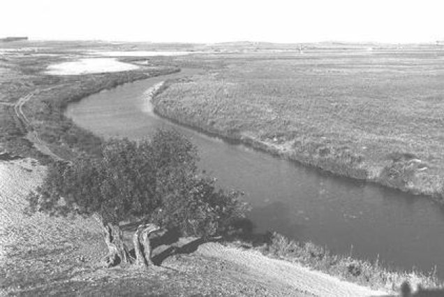
The name Wadi al-Hawarith was derived from the Haritha tribe, which settled in the area around the second half of the sixteenth century and the early seventeenth century. The inhabitants were identified as a clan of Bani Sunbus. Earlier sources associated the area with Wadi Iskandaruna, whose river ran through this part of the coastal plain.
Lands of Wadi al-Hawarith
The name Wadi al-Hawarith was used both for the Palestinian village, which consisted of northern and southern sections, and for a much larger surrounding area. This distinction explains the considerable variation in published land figures.
The tract involved in the major land transaction of 1929 amounted to approximately 30,000 dunams and had been registered to the family of Antun Bishara al-Tayyan of Yafa. By contrast, the British Mandate’s 1944/45 statistics recorded 7,106 dunams under the statistical unit represented in the land-ownership table below. The two figures therefore refer to different territorial definitions and should not be treated as contradictory measurements of the same unit.
Land Ownership in Wadi al-Hawarith
| Ownership category | Land area (dunams)* |
|---|---|
| Palestinian ownership | 2,515 |
| Jewish ownership | 2,795 |
| Public land | 1,796 |
| Total | 7,106 |
* One dunam equals approximately 1,000 square metres. The published 1944/45 land table covers the statistical unit identified principally with Wadi al-Hawarith North; the wider area historically known as Wadi al-Hawarith was considerably larger.
Land Use in Wadi al-Hawarith in 1944/45
| Land-use category | Palestinian ownership (dunams)* | Jewish ownership (dunams)* | Public land (dunams)* | Total (dunams)* |
|---|---|---|---|---|
| Cereal cultivation | 960 | 154 | 1,538 | 2,652 |
| Total cultivable land | 960 | 154 | 1,538 | 2,652 |
| Uncultivated land | 1,555 | 2,641 | 258 | 4,454 |
* One dunam equals approximately 1,000 square metres. The figures above reproduce the ownership breakdown in the 1944/45 village statistics. A narrative account reports that the remaining villagers themselves cultivated approximately 950 dunams with cereals; the small difference reflects the distinct classifications used by the sources.
Population of Wadi al-Hawarith
| Year | Population* |
|---|---|
| 1922 | 812 |
| 1931 | 1,112 |
| 1945 | 1,330: 850 in Wadi al-Hawarith North and 480 in Wadi al-Hawarith South |
| 1948 | Approximately 1,550; estimates vary between sources |
| Estimated number of Palestinian refugees descended from the village population in 1998 | Approximately 9,500 based on the 1,550 estimate; some secondary compilations give substantially higher figures |
* The 1948 figure is a demographic estimate rather than a contemporaneous census count. A secondary compilation gives 2,552 inhabitants in 1948 and 15,672 refugees in 1998, but this is difficult to reconcile with the documented 1945 population of 1,330 and the separate estimate of approximately 1,550 for 1948. These higher figures have therefore not been presented as definitive.
Number of Houses in Wadi al-Hawarith
| Year | Number of houses |
|---|---|
| 1931 | 255 |
| 1948 | Estimate uncertain; one secondary compilation gives 585 |
* The 1931 figure is derived from a British Mandate census. The figure attributed to 1948 is a later estimate and should not be treated as a contemporaneous count.
Acquisition of the Lands of Wadi al-Hawarith
According to the principal historical account, Antun Bishara al-Tayyan had apparently mortgaged the land during the Ottoman period to a French citizen named Henry Estragin. When al-Tayyan’s thirteen heirs decided to sell the property, apparently to settle their father’s debt to Estragin, a representative of the Jewish National Fund reached an agreement with them in November 1928 to acquire the land at a court-supervised auction.
The auction was held on 20 April 1929. The recorded auction price was £P41,000. The historical account states that the total amount paid by the Jewish National Fund to the heirs was close to £E136,000 in Egyptian currency. Because the sources use different currencies and distinguish between the auction price and the wider payment arrangement, the two amounts should not be compared as though they were directly equivalent.
On 6 September 1930, a court ordered the tenant farmers of Wadi al-Hawarith to leave the land. They refused and pursued several appeals. Their legal options were effectively exhausted in December 1932, when the High Court ruled in favour of the Jewish National Fund.
The tenants also attempted to prevent the establishment of Jewish settlements on the newly acquired land. By 1931, Zionist settlers had planted approximately 43,000 saplings. The inhabitants petitioned the British Mandate authorities, which proposed relocating them to other parts of Palestine. They rejected these proposals, temporarily sought refuge in neighbouring villages, and worked with the Palestinian national movement.
In June 1933, tenants who remained in the area where the Jewish National Fund had planted trees were expelled. Some later returned temporarily to harvest crops they had already planted. Other members of the community became seasonal labourers, entered government employment, or moved elsewhere, while a portion remained in the vicinity of Wadi al-Hawarith.
The dispute reflected two conflicting concepts of ownership. The registered title belonged to absentee landowners, whereas the Palestinian tenants considered the land theirs because their community had lived on, cultivated, and grazed it for approximately 350 years. The loss of access to the land contributed to the fragmentation of the community’s social and tribal structure.
Occupation and Depopulation of Wadi al-Hawarith
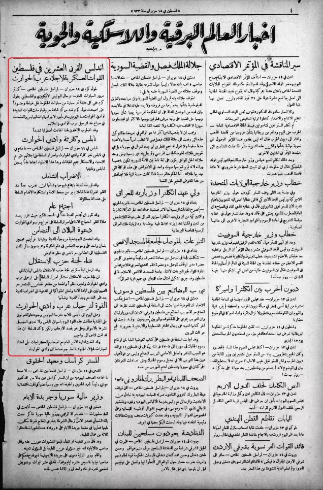
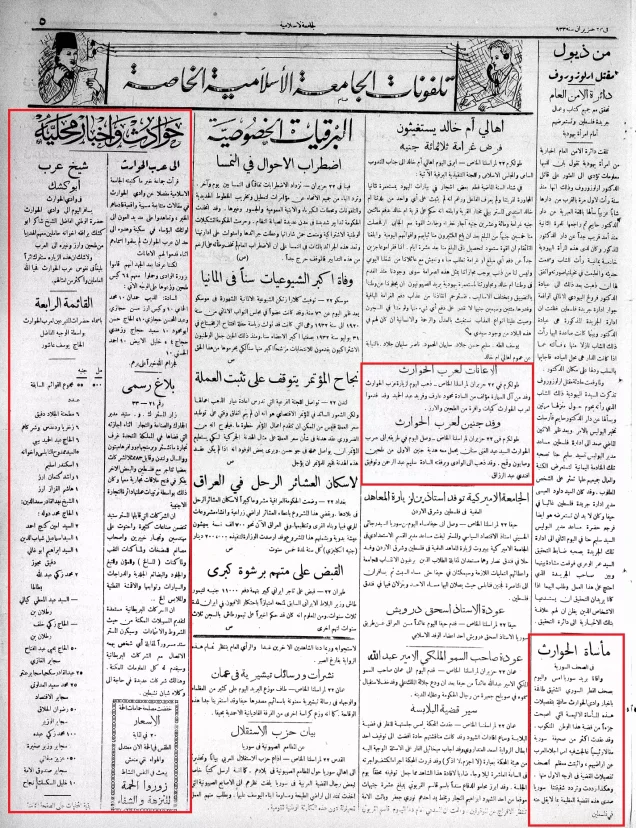
Wadi al-Hawarith was subjected to psychological warfare intended to induce its Palestinian inhabitants to leave, followed by an attack carried out by the Haganah. According to the account cited by Walid Khalidi and PalQuest, the combined effects of psychological pressure and military action led most residents to leave around 15 March 1948.
This operation formed part of a wider series of actions carried out between late 1947 and early 1948 to remove Palestinian communities from the coastal plain north of Yafa. The evidence casts doubt on the Haganah’s subsequent claim that the inhabitants’ departure had been organized by the Palestinian Arab leadership.
The destruction of Wadi al-Hawarith took place in late April and early May 1948. Haganah units, assisted by residents of neighbouring Jewish settlements, demolished houses in Wadi al-Hawarith and nearby villages, making the displaced inhabitants’ return extremely difficult. For this reason, 15 March is best treated as the principal date of depopulation, while late April and early May mark the destruction of much of the village.
Israeli Settlements Established on the Lands of Wadi al-Hawarith
Kefar ha-Ro’e was established on land associated with Wadi al-Hawarith in 1934. Ge’uley Teyman was established in 1947 on land that had formerly been counted among the village’s lands.
Kefar Witkin was established in 1933 immediately south of the lands belonging to Wadi al-Hawarith, but the principal academic account does not locate it on the village’s registered land. Kibbutz Ma‘barot, established in 1933, lay southwest of Wadi al-Hawarith South, while Mikhmoret lay west of Wadi al-Hawarith North; neither was established on the village’s registered lands.
No new Israeli settlement is documented as having been established directly on the village’s built-up site after its depopulation in 1948.
Wadi al-Hawarith Today
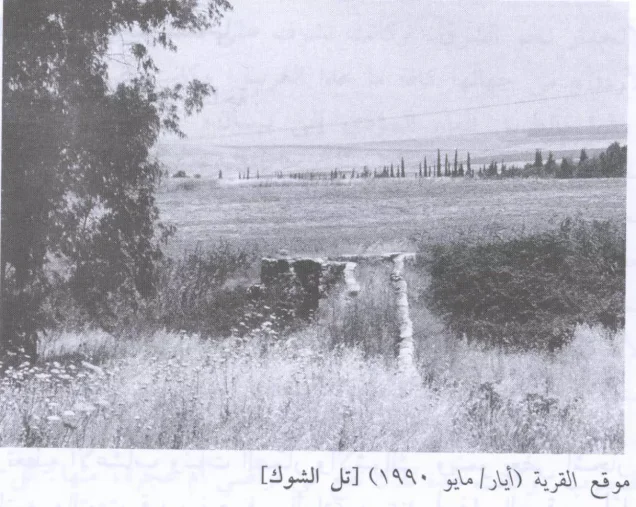
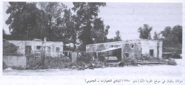
One Palestinian family, the family of Abu ‘Isa al-Hajibi, remained in Wadi al-Hawarith North after 1948. When the site was documented, members of the family had approximately ten houses there, with Ge’uley Teyman situated along their southern edge.
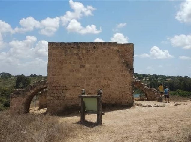
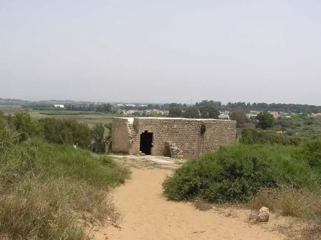
Four Palestinian houses survived at the site of Wadi al-Hawarith South. The principal account records that an Israeli family occupied one of them. The wider coastal plain in this area is among Palestine’s most fertile agricultural regions and is irrigated by streams and numerous wells serving cultivated fields and citrus orchards.
Local Palestinian sources report that the village mosque was demolished by Jewish extremists in February 2000. This incident is preserved in community documentation, but detailed independent reporting on its precise circumstances was not located in the principal academic sources consulted for this article.
Sources
- Interactive Encyclopedia of the Palestine Question: “Wadi al-Hawarith”, Institute for Palestine Studies.
- Palestine Remembered: “Wadi al-Hawarith, Tulkarm”.
- Raya Adler (Cohen), “The Tenants of Wadi Hawarith: Another View of the Land Question in Palestine”, International Journal of Middle East Studies, vol. 20, no. 2, 1988.
- Mustafa Abbasi and Yair Seltenreich, “The Wadi al-Hawarith Affair: Disputed Land and the Struggle for Ownership, 1929–33”, Middle Eastern Studies.
- Walid Khalidi, ed., All That Remains: The Palestinian Villages Occupied and Depopulated by Israel in 1948, Institute for Palestine Studies, 1992.
- Government of Palestine, Village Statistics, April 1945.
- Our Palestine: “The Depopulated Village of Wadi al-Hawarith”.
Photo gallery

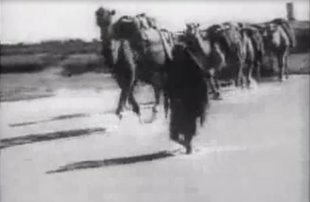
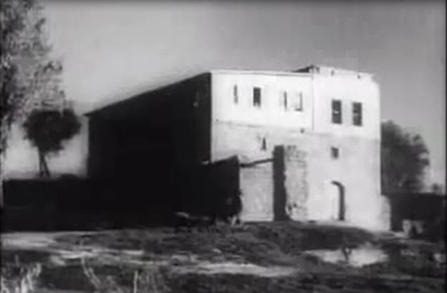
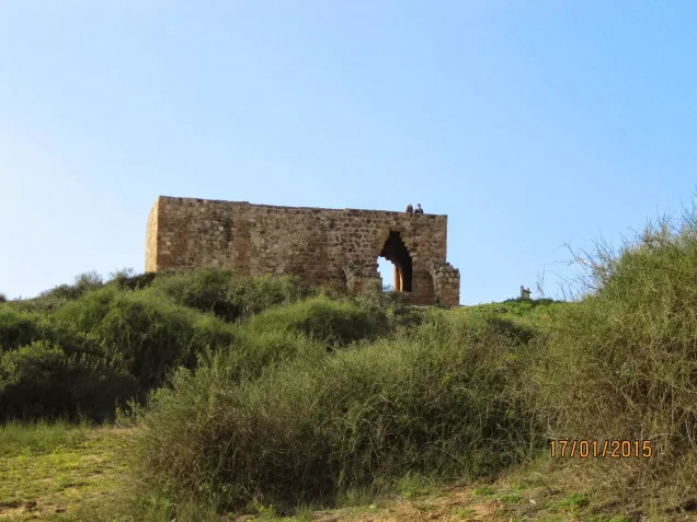
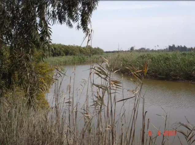
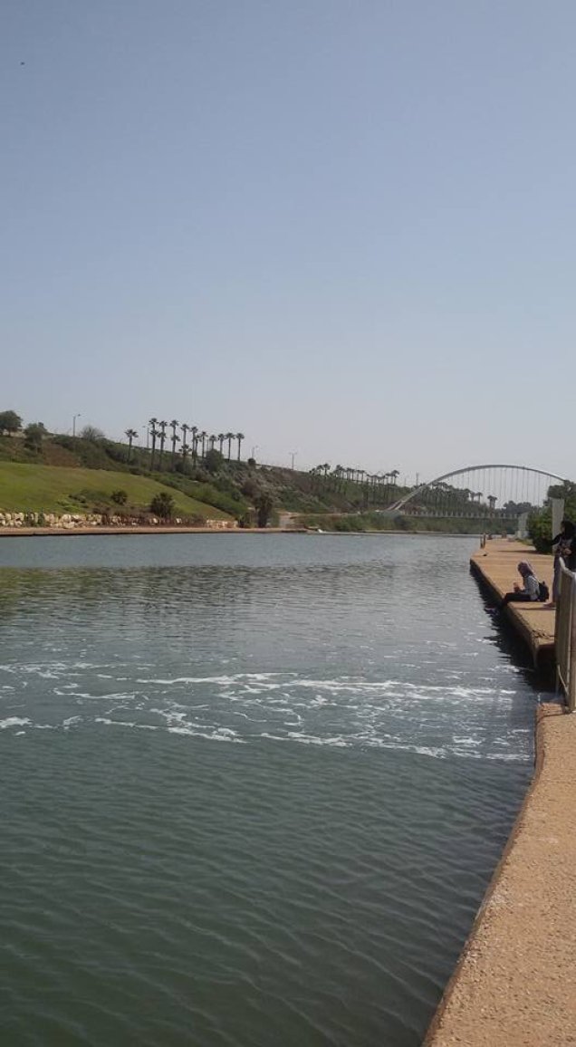
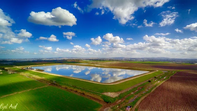
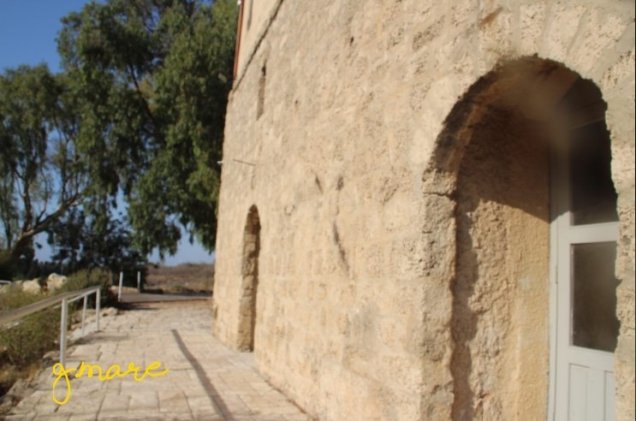
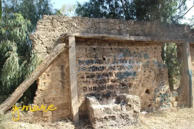

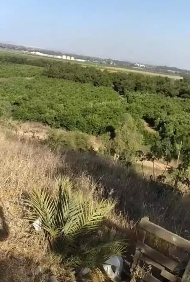
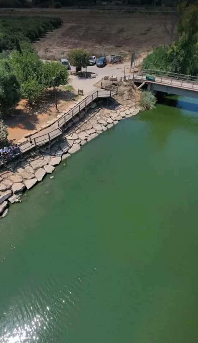

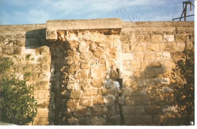
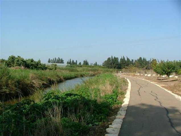
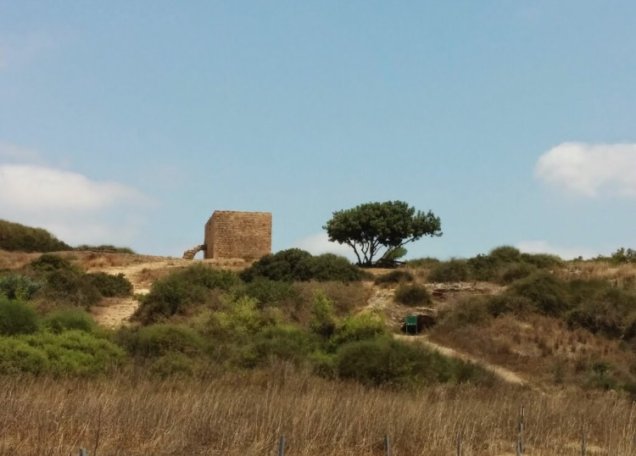
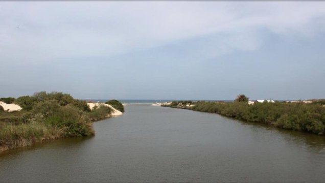
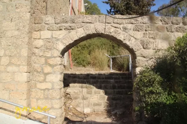
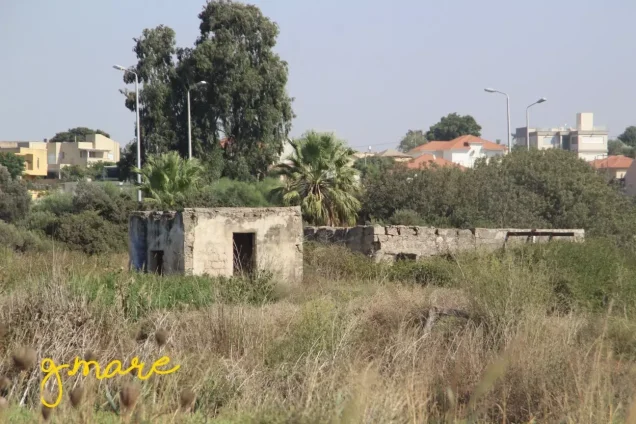
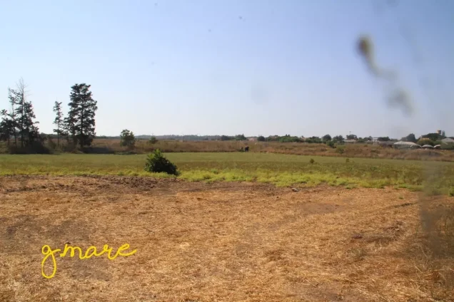
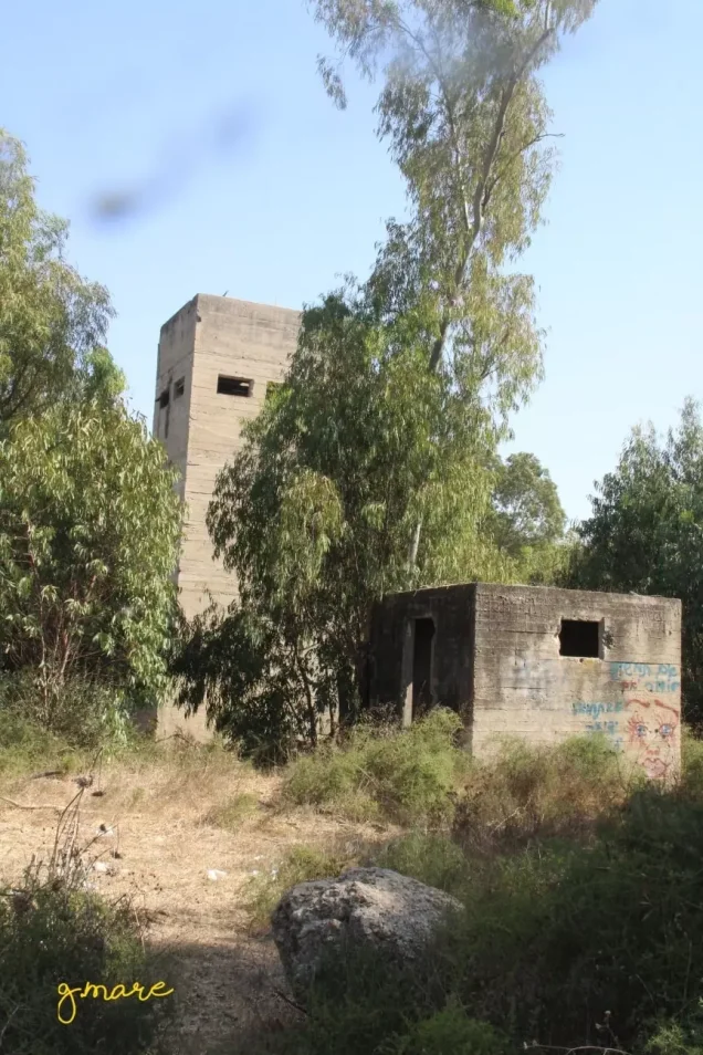
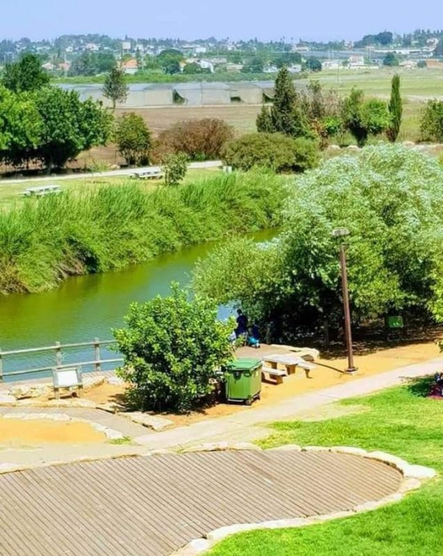
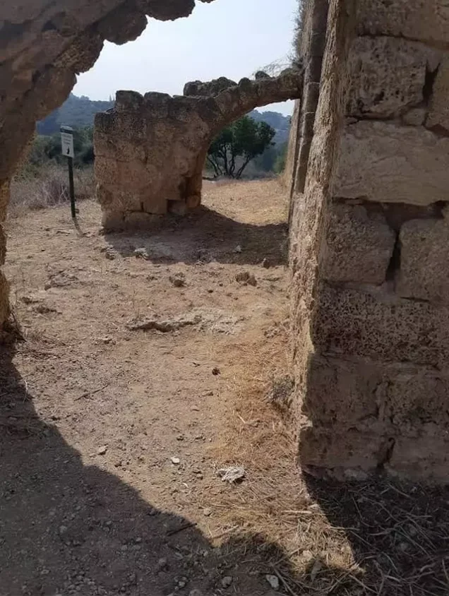
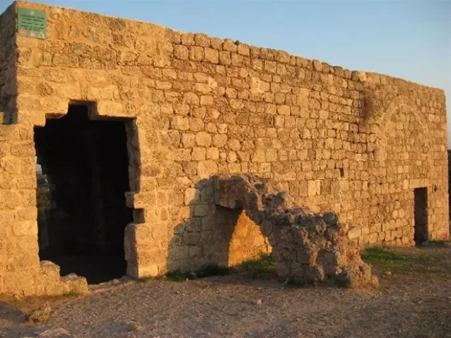
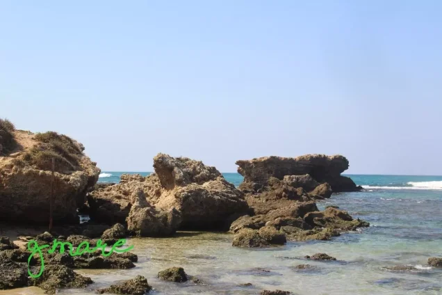
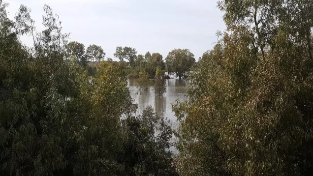
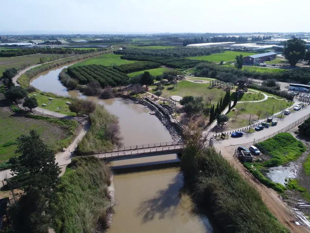
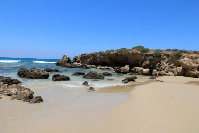
Photos from the village's people
Photos sent in by visitors and published after review.
Add a photo of this village
Log in to add photos of this village.
Other villages from Tulkarm
 Download Our Palestine App
The whole archive in the palm of your hand: depopulated villages, the Nakba, the massacres and Al-Aqsa — free, with no ads to erase the story.
Download Our Palestine App
The whole archive in the palm of your hand: depopulated villages, the Nakba, the massacres and Al-Aqsa — free, with no ads to erase the story.



Comments
No comments yet — be the first to write one.
Add your comment
Name and email are optional. Comments appear after review.