
The depopulated village of Al-Dawwara / District of Safed

Subdistrict: Safad
Estimated Palestinian population of al-Dawwara in 1948: 812
Date of depopulation: 25 May 1948; the psychological-warfare campaign associated with the displacement began between 10 and 15 May
Military unit: Palmach forces during Operation Yiftach; the Palmach’s First Battalion spearheaded the wider operation
Israeli settlements established on the lands of al-Dawwara before 1948: 'Amir and Sde Nechemya
Israeli settlements established on the built-up site after 1948: None
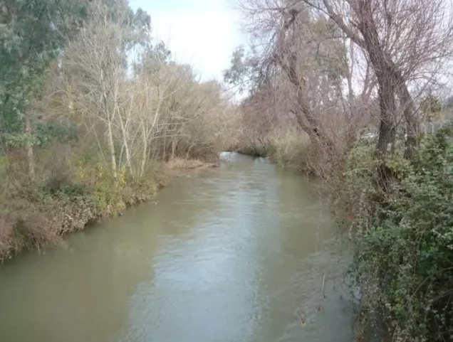
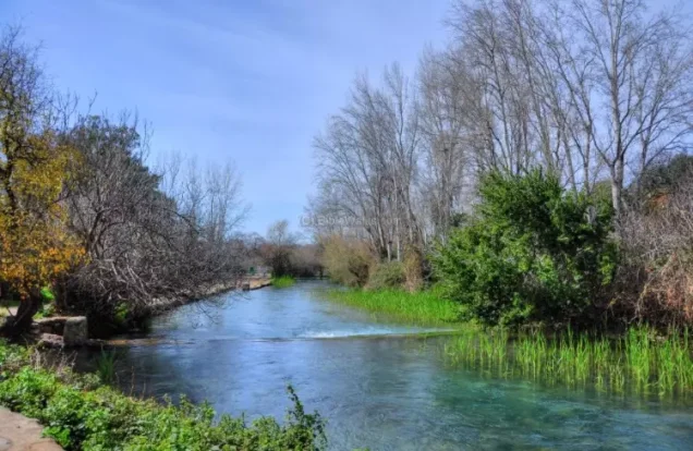
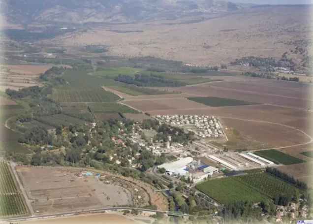
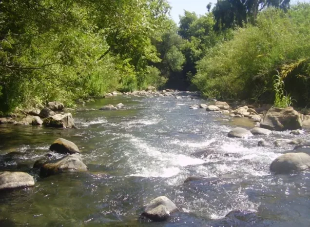
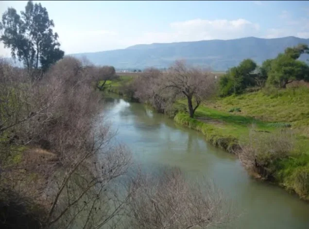
Al-Dawwara was a depopulated Palestinian village situated 27 kilometres northeast of Safad, in the northern part of the al-Hula Plain. It stood near the confluence of the al-Hasbani, Banyas, and Dan rivers, which flow towards Lake al-Hula and form the upper reaches of the Jordan River. The village lay between al-Muftakhira and al-'Abisiyya.
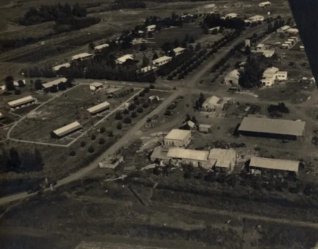
Most of its buildings were constructed of mud, although some were built of black basalt. The older village was compact, with houses clustered closely together and separated by narrow lanes. Towards the end of the British Mandate, al-Dawwara expanded, and newer houses were constructed farther apart. The Palestinian built-up area covered 52 dunams.
The village stood on flat terrain, overlooking a broad expanse to the north and facing Jabal al-Shaykh to the northeast. A secondary road connected it to a highway leading to Safad.
Boundaries of al-Dawwara
Al-Dawwara was surrounded by the following villages and areas:
- North: al-'Abisiyya.
- Northwest: Qaytiyya.
- West: al-Na'ima.
- Southwest: al-Salihiyya.
- South and southeast: al-Muftakhira.
- East: Syrian territory.
Architectural Structure of al-Dawwara
The older houses of al-Dawwara were clustered closely together and separated by narrow lanes. Towards the end of the British Mandate, the village expanded and newer houses were built at greater distances from one another. Most houses were constructed of mud, while some were built of black basalt stone.
The Palestinian village’s built-up area covered 52 dunams. The official 1944/45 land-use figures also recorded 55 dunams of Jewish built-up land within the wider statistical unit, corresponding to the neighbouring settlements of 'Amir and Sde Nechemya.
Name of al-Dawwara
Several explanations have been proposed for the village’s name. One interpretation associates it with the Syriac word dayyara, meaning a dwelling or place of residence. Another relates it to the Arabic root referring to turning or movement. These interpretations remain etymological proposals rather than conclusively established historical facts.
Population of al-Dawwara
In 1931, al-Dawwara had 552 inhabitants living in 106 houses. All but one of the inhabitants recorded that year were Muslims; one was Christian. The Palestinian population was estimated at 700 in 1945 and approximately 812 in 1948.
The figure of 1,100 recorded for the wider statistical unit in 1945 combined al-Dawwara’s 700 Palestinian inhabitants with approximately 400 Jewish residents of 'Amir and Sde Nechemya. It should therefore not be presented as the population of the Palestinian village alone.
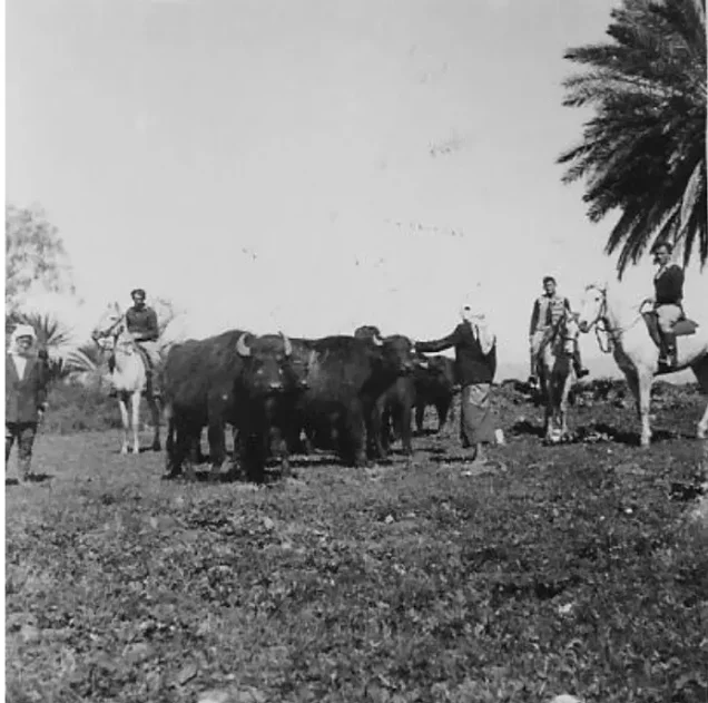
The villagers worked principally in agriculture, animal husbandry, trade, and fishing. They were displaced during the Nakba, and the village was subsequently destroyed.
Historical Population of al-Dawwara
| Year | Palestinian population | Jewish population in 'Amir and Sde Nechemya | Combined statistical total |
|---|---|---|---|
| 1931 | 552 | — | 552 |
| 1945 | 700 | 400 | 1,100 |
| 1948 | 812 (estimate) | Approximately 400 | Approximately 1,212 |
| Estimated Palestinian refugee population in 1998 | 4,987 | Not applicable | Not applicable |
The 1948 Palestinian population and the 1998 refugee population are demographic estimates rather than contemporary census counts.
Number of Houses in al-Dawwara
| Year | Number of houses |
|---|---|
| 1931 | 106 |
| 1948 | 155 (estimate) |
Lands of al-Dawwara
The lands included within the al-Dawwara statistical unit covered 5,470 dunams. Of this area, 2,547 dunams were under Palestinian ownership, 2,753 dunams were under Jewish ownership, and 170 dunams were classified as public land. The Jewish settlements of 'Amir and Sde Nechemya were established on village lands before 1948.
Land Ownership in al-Dawwara
| Ownership category | Area (dunams)* |
|---|---|
| Palestinian ownership | 2,547 |
| Jewish ownership | 2,753 |
| Public land | 170 |
| Total | 5,470 |
* One dunam equals approximately 1,000 square metres.
Land Use in al-Dawwara in 1944/45
| Land-use category | Palestinian land (dunams)* | Jewish land (dunams)* | Public land (dunams)* | Total (dunams)* |
|---|---|---|---|---|
| Citrus and banana cultivation | 68 | 0 | 0 | 68 |
| Irrigated land and orchards | 2,135 | 2,095 | 0 | 4,230 |
| Cereal cultivation | 281 | 603 | 0 | 884 |
| Built-up area | 52 | 55 | 0 | 107 |
| Cultivable land | 2,484 | 2,698 | 0 | 5,182 |
| Uncultivated land | 11 | 0 | 170 | 181 |
* One dunam equals approximately 1,000 square metres.
Archaeological Site near al-Dawwara
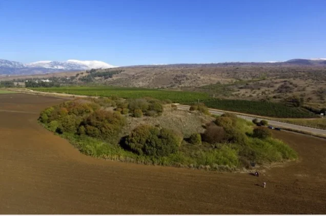
Tell al-Akhdar was situated east of the village. The available sources consulted for this article identify the location but provide no sufficiently detailed archaeological chronology for it.
Economic Life in al-Dawwara
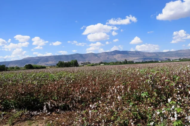
Agriculture was the principal source of livelihood. The inhabitants cultivated cereals, vegetables, citrus fruit, and other orchard crops. Some agriculture was rainfed, while other fields and orchards were irrigated with water drawn from the area’s springs and rivers.
The village’s location in the well-watered al-Hula Plain also supported livestock raising and fishing. Some inhabitants were engaged in trade.
Occupation and Depopulation of al-Dawwara
Al-Dawwara was depopulated during Operation Yiftach, the Palmach campaign conducted in eastern Galilee between April and May 1948 as part of Israel’s occupation of Palestine—the Nakba. The Palmach’s First Battalion spearheaded the wider operation, although the sources consulted do not conclusively identify the precise unit that entered al-Dawwara itself.
An Israeli military intelligence report listed al-Dawwara among the villages whose inhabitants left on 25 May 1948 following a psychological-warfare initiative known as the “whispering campaign.” Palmach commander Yigal Allon devised the campaign, which was implemented between 10 and 15 May and spread warnings that substantial forces had arrived to clear the villages of the al-Hula region.
There is, however, a chronological discrepancy in the available accounts. The psychological campaign began around 10 May, whereas the intelligence report dated the inhabitants’ departure to 25 May. Walid Khalidi consequently notes that a military attack may also have contributed to the village’s depopulation. The available evidence does not establish 10 May as the definitive date on which al-Dawwara was occupied. The best-documented date for its depopulation is 25 May 1948.
Israeli Settlements on the Lands of al-Dawwara
- 'Amir: Established in 1939 approximately half a kilometre west of the village site, on land belonging to al-Dawwara.
- Sde Nechemya: Established in 1940 northwest of the village site, also on land belonging to al-Dawwara.
No new Israeli settlement is identified by the principal academic source as having been constructed directly over the Palestinian village’s built-up site after 1948.
Al-Dawwara Today
Hardly any traces of the village remain. Only a few scattered building stones survive near the edge of a fishpond. The village site and its surrounding area have been converted into fish-breeding ponds.
Sources
- Interactive Encyclopedia of the Palestine Question: al-Dawwara.
- Interactive Encyclopedia of the Palestine Question: Operation Yiftach.
- Walid Khalidi, ed., All That Remains: The Palestinian Villages Occupied and Depopulated by Israel in 1948, Institute for Palestine Studies.
- Palestine Remembered: al-Dawwara, Safad Subdistrict.
Photo gallery

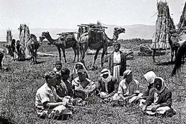
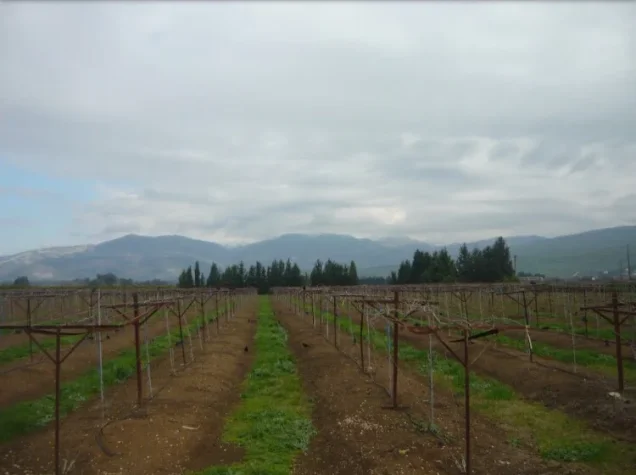
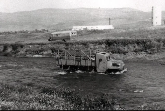
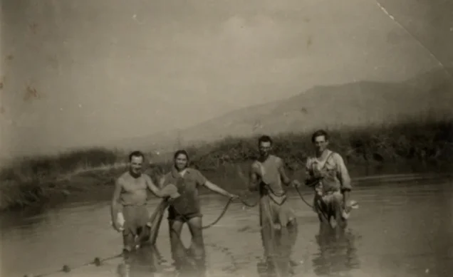
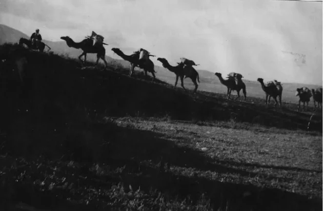

Photos from the village's people
Photos sent in by visitors and published after review.
Add a photo of this village
Log in to add photos of this village.
Other villages from Safed



 Download Our Palestine App
The whole archive in the palm of your hand: depopulated villages, the Nakba, the massacres and Al-Aqsa — free, with no ads to erase the story.
Download Our Palestine App
The whole archive in the palm of your hand: depopulated villages, the Nakba, the massacres and Al-Aqsa — free, with no ads to erase the story.



Comments
No comments yet — be the first to write one.
Add your comment
Name and email are optional. Comments appear after review.